Some heavy showers around today, as a small low drifts across the country. Drier and brighter tomorrow, but more rain and wind on the way to start the weekend.
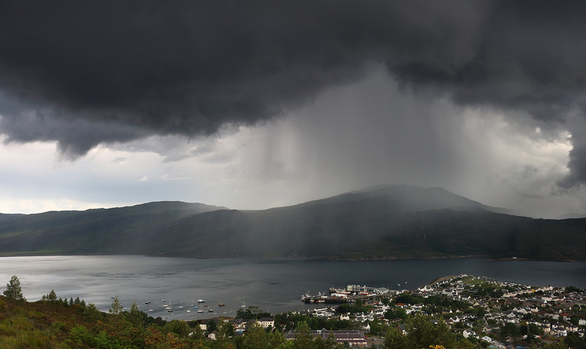
Storm Georgina is now well out of the way, but we do have a small low pressure drifting in from the Atlantic today. It'll be helping to pep up the showers in western regions especially, where some are going to be heavy, squally with hail and thunder mixed in, along with sleet and snow up over the hills in the north.
First thing this morning, the low was just off the coast of western Scotland, and it's going to be drifting southeast through the day. You can see the swirl of cloud and showers spiralling out of it, on the animation below.
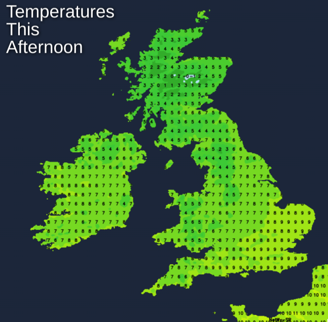
The isobars on the low aren't too tightly wrapped, but it's still going to be a blustery day, especially to the south and east of it. So as it does drift southeast, Scotland will see calmer winds arrive for a time. Not all will catch a shower today, with eastern regions best placed to avoid them, where there should be some fairly decent sunny spells to be had. Temperatures today will reach a pretty average 4-7c in most places, but a mild 9-11c in the southeast.
Through the latter part of the day, there'll be a change in wind direction across the north of Scotland, as it swings round to more of a northerly. That'll bring colder air and a few more showers - which will be wintry, with some accumulations of snow - especially up over the hills.
With skies clearing in places, there'll be some patches of frost developing overnight - especially in Scotland. The showers will continue in the far north though and will take their time to die out across the south of Britain.
Into tomorrow, we'll have a brief ridge of high pressure with us, so a mostly dry, fine but chilly day on the way. The showers in the far north of Scotland will hang around for some time though, as the colder air stays in situ until later in the day. Into the afternoon, the ridge is pushed away from the west as the next Atlantic system makes its move. That's going to bring rain into Ireland and eventually western Scotland during the evening. At the same time, winds will be increasing in all western regions.
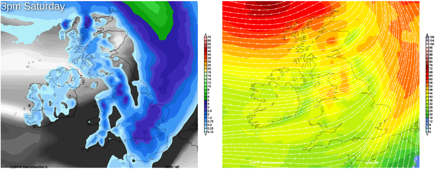
That wind and rain will be heading across the whole country during Saturday. The wind, while blustery everywhere, will be strongest across the north of Scotland, with severe gales possible here. The wet weather should be fairly quick to clear most regions at least, leaving clearer skies but also some showers - these mainly affecting western parts. It will be into the evening before the southeast sees the back of it though.
Sunday then brings a north-south split, with some showery rain and further gusty winds likely to affect northern areas. Further south, it's drier and calmer with some sunny spells developing, especially in the south and east.
The often unsettled, mixed pattern then continues into next week, with more spells of wind and rain at times.