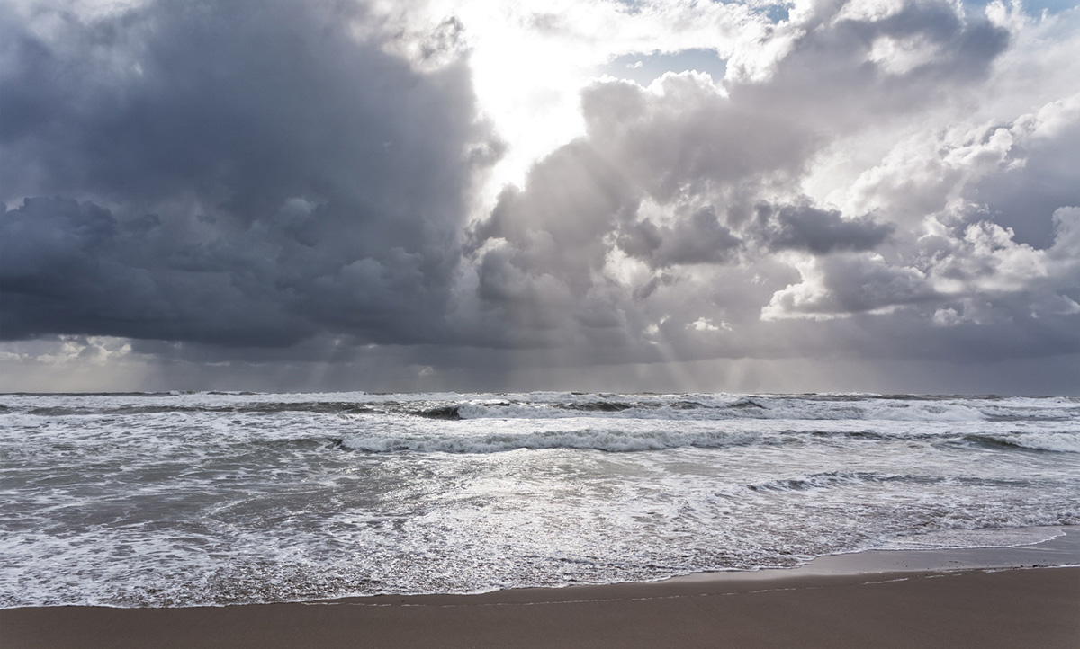
Fairly quiet weather for the next few days, but becoming more lively into the weekend, and we're keeping an eye on the potential for a stormy Boxing day.
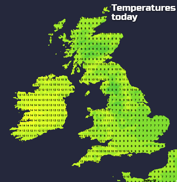
It's another cold start today in central and southern parts of the UK, with some freezing fog patches about as well. Elsewhere it's that bit milder, with more cloud and more of a breeze blowing. Today, the warmer, cloudier weather will slowly head further southeast.
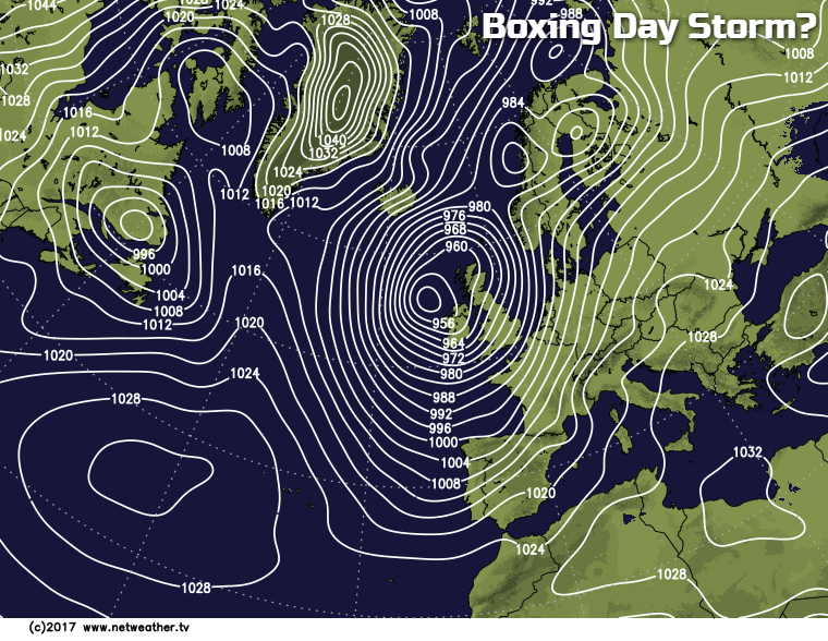
Before we crack on with the forecast for the next few days, just a quick heads-up on some potentially nasty weather into the Christmas period, as lots of us will be travelling during that time. It's not certain yet by any means, but quite a nasty looking Atlantic low may arrive with us on Boxing Day. Something to keep an eye on..
If you're wondering about Christmas day itself - and yes, there is the chance of some snow in places - take a look at the Christmas forecast which is being regularly updated right up to Christmas Eve.
Back to the here and now and those freezing fog patches may take some time to clear in southern parts. Otherwise, though, it's a pretty quiet, nondescript type of day with lots of cloud about, as that milder air drifts southeast. In the main, it will be a dry day, but western facing hills may see some showery, drizzly bits of rain and even some hill-fog. Later on in the day, outbreaks of heavy rain will make their way into the northwest of Scotland, edging southeast during the evening and overnight - getting into Northern and western Ireland, as well by late evening.
Tonight, the rain in the northwest continues southeastward, clearing northern Scotland by dawn. To the south of that, it's cloudy and mostly frost free, although central southern and southeast England may see a few patches.
Tomorrow, the band of rain will fizzle to be a band of cloud with some patchy bits of rain on it. That'll sit over a good part of Ireland, northern England, north Wales and southern Scotland. To the north of it, cooler, fresher and clearer weather. To the south, more cloud (but not entirely cloudy), some drizzle on the hills, and milder.
Overnight and into Thursday see that band will slowly slip further south; the rain may pep up for a time as it does so too. That'll mean the cooler, fresher region grows to its north - with a few wintry showers affecting the north of Scotland.
By Friday it'll have just about cleared through to leave almost all parts with a bright or sunny and fresh day. There'll also be a frost to start from the Midlands northward, with a few icy patches again possible. The southwest corner is likely to keep more cloud and milder temperatures though, and it's that weather type which'll be making a move back over the country to start the weekend.
So, after an early frost in central and eastern regions, cloud and patchy rain will spread in from the west on Saturday. Heavy rain and strong winds will arrive into northern Scotland through the day as well, and that's likely to be moving southeast into Sunday (Christmas Eve), with colder air and some wintry showers following behind it.