The flow of wintry showers is fading as the air over the UK becomes less cold this weekend. December is starting but this snowy event is ending
The flow of sleet and snow showers from the north is fading. We still have a cold and icy start this morning with frost for some, but the Arctic air will be pushed out as the winds back to a more north-westerly direction. It will then be less cold, with more cloud and rain for western Britain, especially wet for NW Scotland in the coming week.
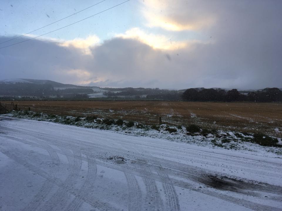
However, there has been snow excitement, Northumberland recording 11cm, Aberdeenshire 5cm and these were just from the Met Office gauges, other spots had more. There were a few flurries in London as the showers continue to filter down from the North Sea. Further west Northern Ireland saw a dusting over the Mournes and the hills with wet snow mixed in with rain at lower levels, and the Welsh mountains in the NW got a pretty covering too.
Elsewhere, there was shelter from the north wind. The Pembrokeshire dangler is still there, the line of showers clipping SW Wales and Cornwall. As the wind direction changes that will go today, it’s been very persistent.

This morning there are rain and sleet showers over SE England, there could be a bit of wet snow for the Downs. Showers will continue to stream into Kent from the NE today, but the cold air is fading. There is still a feed of showers for NE England with rain, sleety bits and a bit more snow for the eastern Pennines. A few showers are still clipping Aberdeenshire too. For most places it is a cold start, we’ve seen temperatures fall below freezing, with -5C in Wales.
Overall, there will be a good amount of fair weather, bright but chilly with the north wind easing off and temperatures around 3 to 5C. The winds will turn NW then westerly over Scotland and Northern Ireland as more cloud arrives. The far NW of the UK will reach 7C as outbreaks of rain from a warm front move over northern Scotland.
Tonight temperatures will dip to zero with lighter winds. The frontal cloud and rain will push southwards. There could be sleety bits as it moves over the hills of northern England, but it will turn to rain soon enough. There still could be a few icy patches and a touch of frost.

It will feel different by Saturday. The warm front will still be on its way south, over England, so temperatures struggle in the SE but with light winds. The weather will change through the day, especially for Northern Ireland where brighter skies will appear for lunchtime. Early cloud and light rain will be followed by the less cold air and some brightness in the west; then the cold front moves down bringing more cloud, grey skies and showery outbreaks of rain again.

The UK remains at the edge of a high pressure out in the Atlantic through the weekend. The cold front begins to wave back over Ireland. There will be more cloud and a bit of patchy rain for the south and the west with temperatures of 9 or 10C possible. For northern Britain, it will be fair on Sunday but cool with a NW wind and showers running into the west coast of Scotland
Next week
The high pressure edges more towards southern Britain bringing settled conditions. Further north weather fronts will clip northern Scotland bringing more and more rain to the far NW. Otherwise, it will be feeling cool as you would expect for December and now meteorological Winter has arrived (the three months of Dec/Jan/Feb). There could be a stormy spell Thursday/Friday, bit far ahead but something to keep an eye on in the forecast. Have a good weekend!