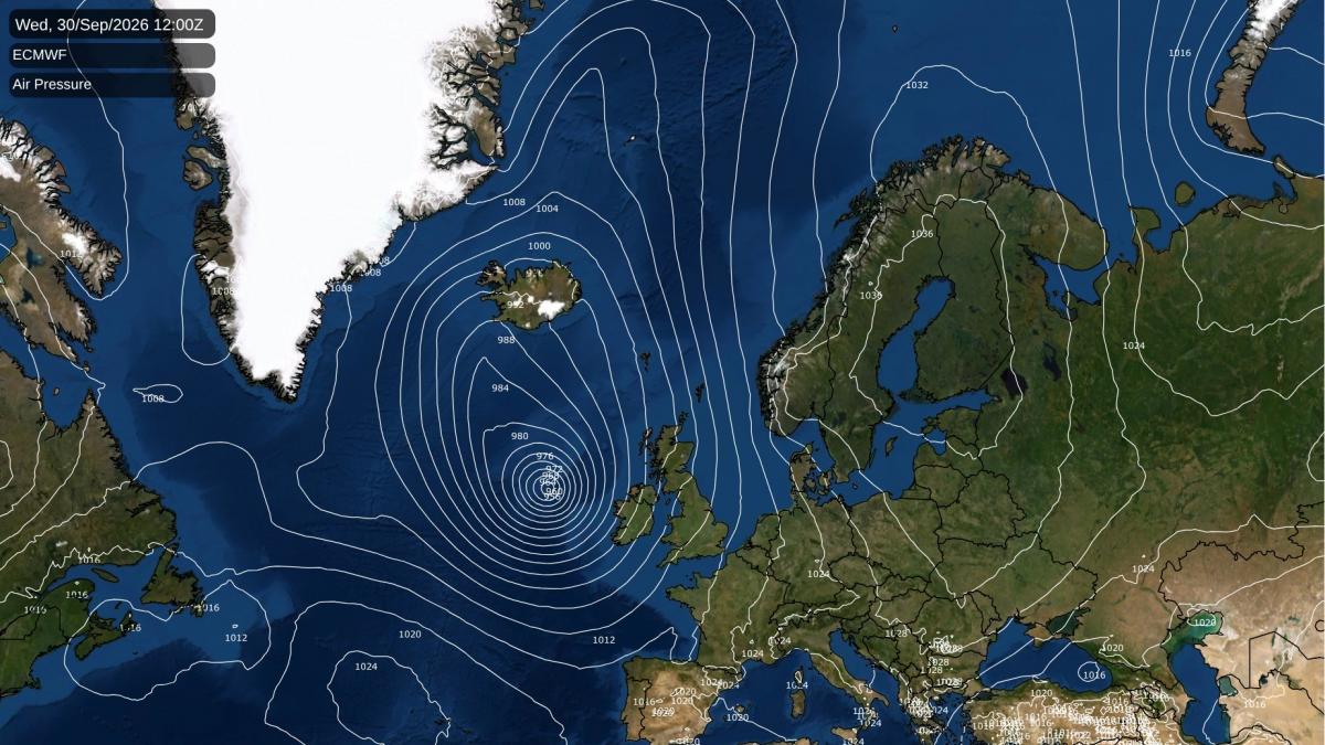
After a mixed end to the weekend, Monday will be a quieter, brighter day under a slack ridge of high pressure, with 16 to 20C for most and light winds. Showers linger in northern Scotland. It starts cold inland in the north after the clear night, around 5C in Dumfries and nearer 3C in the coldest Highland glens. Rural hollows of the Tyne valley around Haydon Bridge and mid-Ulster around Cookstown are likely to see a ground frost. Late on Monday evening rain is likely to edge up from the Channel into Kent, Sussex and the Essex coast. After midnight a cluster of heavy bursts is expected to move north across Kent, the Thames Estuary and Essex, reaching Norfolk and Suffolk around breakfast time on Tuesday. Away from that rain, Monday night will be colder still in the Borders, down to around 2C near Hawick by dawn, with frost on the ground in the valleys there and in the Tyne valley.
On Tuesday an area of low pressure deepens rapidly over the Atlantic west of Ireland while high pressure holds over Scandinavia, and the flow between them turns south-easterly across the whole country, drawing warmer air up from the continent. London, the Home Counties and the south Midlands could reach 24 to 25C, around five degrees above normal for late September. The north-east coast stays much cooler, with Newcastle only around 15C.
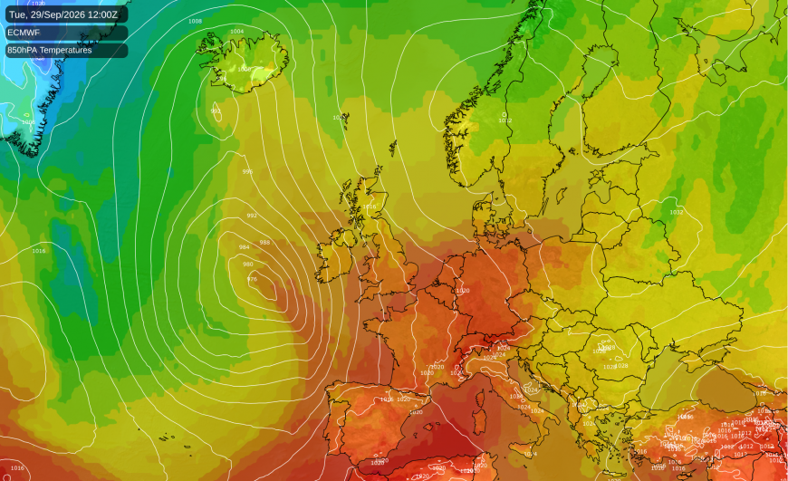
The wind picks up through Tuesday, especially in the west and north. Gusts around Wick may reach 50 to 55mph, and stronger still over the Highland summits. Rain is likely to reach Northern Ireland, Cornwall and west Wales during the evening.
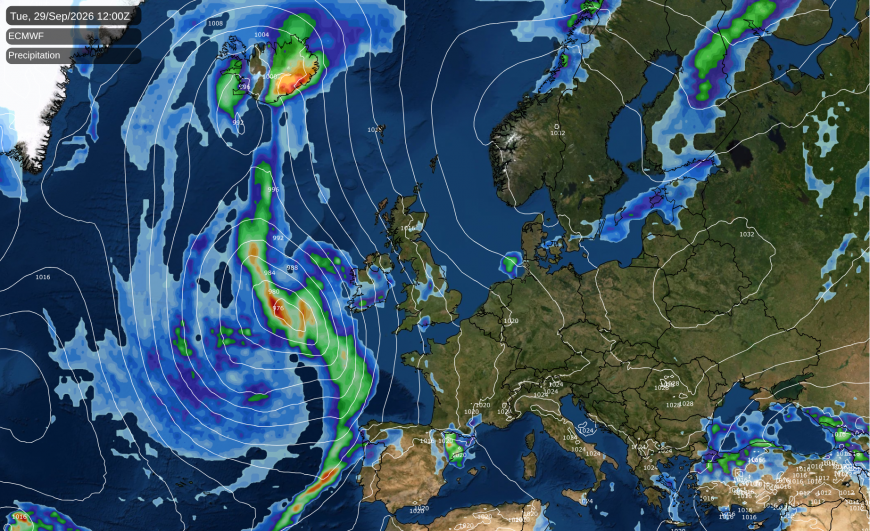
By early Wednesday the low is expected to be at its deepest, about 960 hPa, deep for the time of year, but still well out to sea west of Ireland. Yesterday the Met Office's global model made it much deeper than ECMWF or the American GFS. This morning they agree closely on both its depth and its position, so confidence in the pattern is now high.
Its cold front is expected to sweep west to east through Wednesday. It is likely to bring rain to Northern Ireland, Wales and south-west England in the small hours, then western and central Scotland, north-west England, the Pennines and the Midlands through the morning. Eastern Scotland, north-east England, Lincolnshire and the south-east should follow around midday. Almost everyone should see rain as it passes, with short, heavy bursts, and there is a 40 to 50% probability of thunder with it over East Anglia and the south-east. It is expected to clear the east coast by mid-afternoon, and the Kent coast by early evening.
Our longer-range model clears it from the east a few hours sooner. Tuesday night will be exceptionally mild in the east, with Norwich no lower than 18C, and eastern England could still reach 21 to 23C on Wednesday. Shetland and the Western Isles could see gusts of 45 to 50mph on Wednesday evening, while the strongest winds, 60 to 75mph, stay out over the open Atlantic west of Ireland.
On Thursday the low pulls away north towards Iceland and pressure builds from the south-west, so it should feel fresher, with 17 to 21C in the south and east and 14 to 16C further north. Showers are likely in northern and western Scotland, with more rain arriving there and in Northern Ireland during the evening. North-west England and Wales carry about a 50 to 60% chance of a shower, and the south-east is most likely dry. There is some doubt over how quickly the ridge builds. The Met Office model and ECMWF both bring it in through the day, but GFS holds the low back and keeps the north-west breezier and more showery into Thursday night.
Loading recent activity...