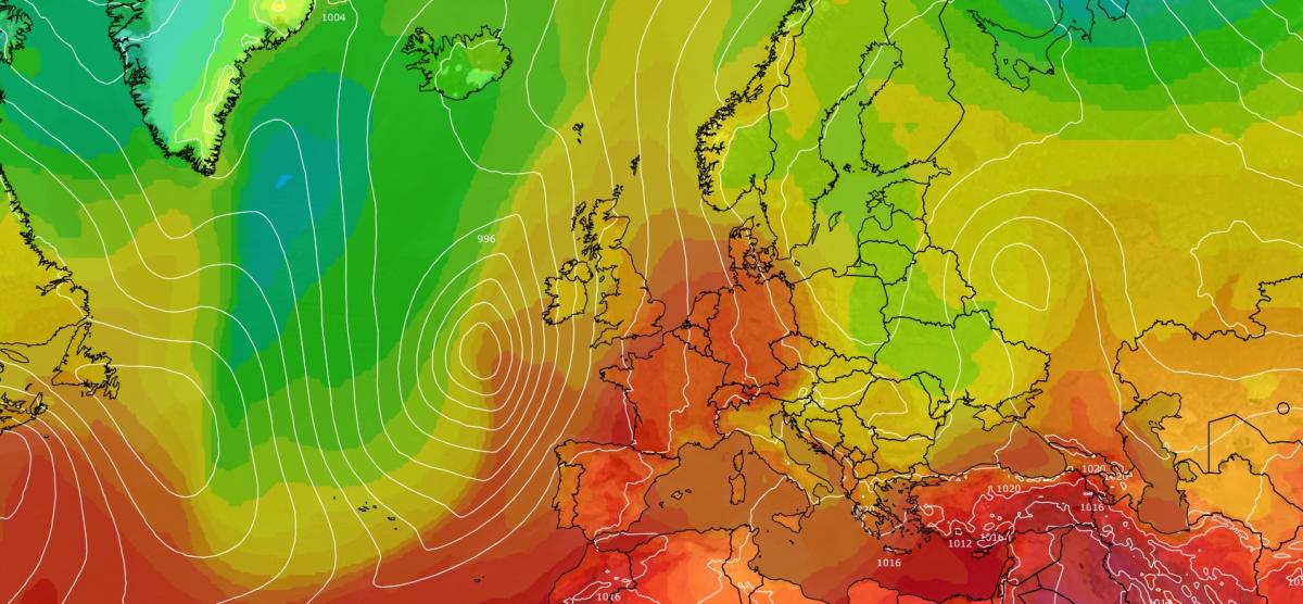
This September has so far been a very "westerly" month, with high pressure to the south, low pressure systems moving across to the north of Britain or over northern Scotland, and persistent west to south-westerly winds. While westerly winds are normally dominant to some extent, especially in autumn and early winter, they have been more dominant than average this month.
Correspondingly, it has been a dry month so far in most southern and eastern parts of Britain, especially in north-east England, where some sites are yet to record 10mm of precipitation for the month. It has, in contrast, been a wet month so far in western Scotland and much of north-west England and parts of west Wales, due to the traditional pattern of orographic enhancement of precipitation in the west, and a rain shadow effect in the east.
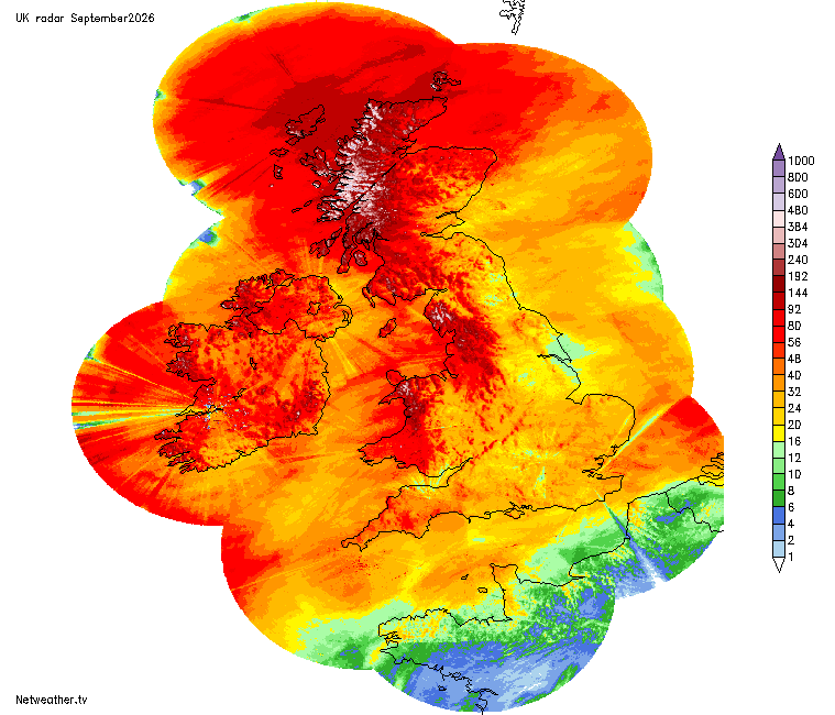
Rainfall totals (radar derived) so far in September
Often in these situations it also ends up sunny in the south and east and dull in the north-west. However, a striking facet of September 2026 so far is that it has been a cloudy month so far over much of the country, even in the south-east. A high frequency of tropical maritime air masses has often brought a large amount of cloud across the country, which has often not broken up readily as it has headed into eastern and southern Britain. Some coastal sites in north-east England have been exceptions, sheltered from the prevailing westerlies and south-westerlies.
But for much of the country, temperatures have again been running well above the long-term average. In contrast to the summer that we've just had, for the most part, September's warmth has been a case of temperatures being consistently 1 to 3C above the seasonal average, rather than spells of outstandingly hot weather.
Thunderstorms have also been rare, in contrast to recent Septembers. The unsettled first half of September 2025 had widespread thundery activity on some days for example. In September 2026, I was in the Netherlands on 9 September, when a trough dived south-eastwards down the North Sea and set of heavy thundery showers in the Netherlands, especially central and eastern parts of the country, but over Britain this trough had only brought a few scattered thunderstorms, mainly to Scotland and northern England, the previous day.
The last third of September looks set to see ridges of high pressure push further north than we have generally seen earlier in the month. Towards the end of the month, high pressure looks set to build to the east of Britain, resulting in winds turning predominantly south to south-westerly, meaning that there is potential for the month to end with considerably above-average temperatures. It is also likely to continue the pattern of wet weather in some western and north-western areas, and dry weather in the east and south. Depending on the alignment of the high pressure areas, there is a chance of some areas seeing rather more sunshine at times than earlier in the month.
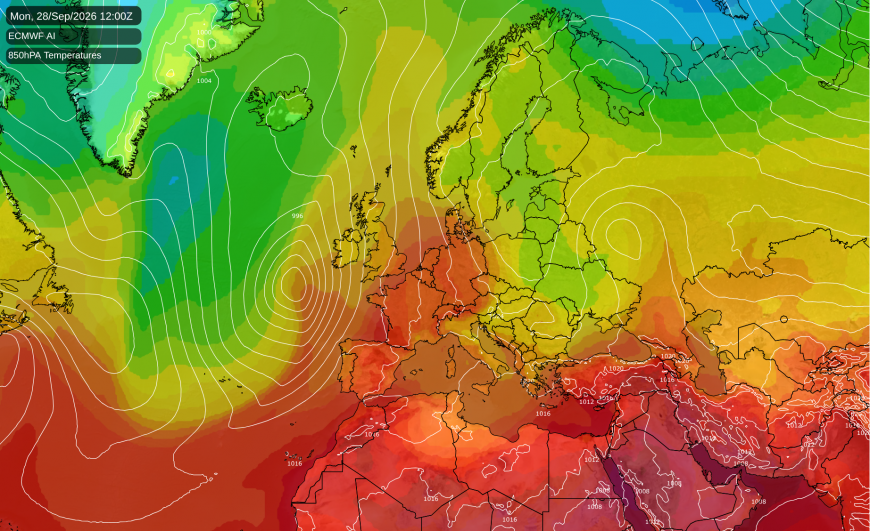
This means that September as a whole is set to come out as yet another very warm month. In the Central England Temperature series, every month since February has been between 2.5 and 3.5C above the 1961-1990 average, and September is looking likely to add to the list. The 1991-2020 averages are only about 1C higher than those for 1961-1990, so even by recent standards it has been remarkably warm. The warmth is likely being assisted by record sea surface temperatures off western Europe, resulting in our westerlies and (especially) south-westerlies being warmer than they would normally be. Another contributory factor to the warm September is the high frequency of tropical maritime air masses, as opposed to polar maritime air masses that see cooler air heading in from the north-west.
However, it looks unlikely that September 2026 will be a record warm September for the UK or for Central England, as temperatures are running about a degree below those of September 2006, and are set to be relatively close to average from now until the last few days of the month.
According to the Climate Reanalyzer datasets that are based on the ERA5 reanalysis, global temperatures during September 2026 started off record warm but have dipped to second warmest on record, after 2023. September 2023 was a particularly warm month globally.
It currently looks probable that September 2026 will be comparably warm globally, but the elevated global warmth would have to increase by at least a tenth of a degree Celsius to bring 2026 substantially ahead of 2023. The culprit is relatively low temperatures over the land masses, as sea surface temperatures are currently record warm by over a tenth of a degree Celsius (which is a large margin when averaged globally).
However, the warmest Octobers, Novembers and Decembers were less remarkably warm globally, and so it looks probable to me that we will see new monthly records for those months in 2026, especially with the record breaking El Nino setting in.
Loading recent activity...