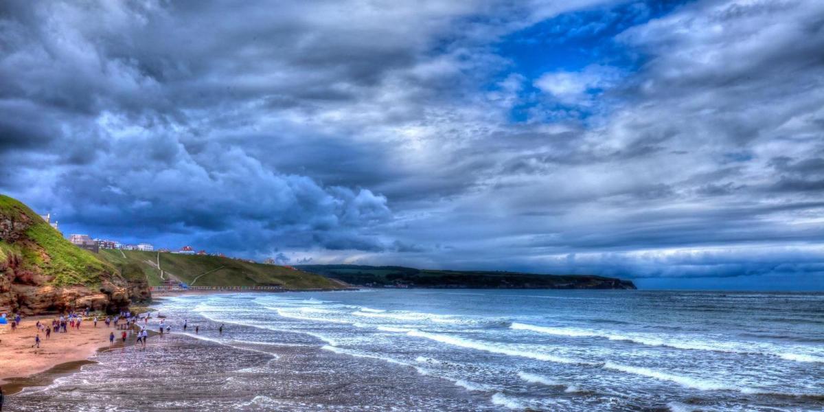
Thursday will be cool and showery in the north and west, about four degrees below the early August average when averaged nationally and a few degrees down on Wednesday. Showers will be scattered rather than organised, building over high ground during the day and fading by evening. The risk is 50 to 60% over the hills of north-west England and Wales. Eastern England and the south-east will stay dry. Bournemouth should reach 23C, Lerwick 13C.
Skies will clear widely across England, Wales and southern Scotland on Thursday night, and with light winds inland temperatures will fall quickly. Expect about 5C in the sheltered valleys of mid-Wales and the Marches, against the low to middle teens on the coasts. Hereford should manage no better than 8C.
Friday brings a firmer ridge of high pressure across southern Britain and a dry, warmer day for most, London climbing to about 25C. The exception is the far north-west, where an Atlantic low will push an organised band of rain into the Outer Hebrides and the west Highland coast from the early hours. Rain there is near certain, above 90% on Harris and around Gairloch. Gusts of 40 to 45mph are likely along that coast in the afternoon. South of the Scottish central belt it will stay dry.
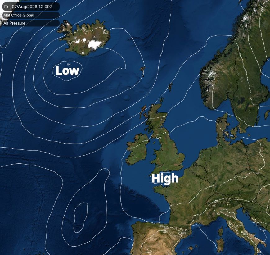
The split opens on Saturday. Warm air ahead of the Atlantic front will give 27 to 29C from the Severn valley and the west Midlands across to Cheshire and south Yorkshire. Carlisle and Newcastle will reach only 20C, and Scotland stays between 15C and 18C. The front slows as it meets the spine of Scotland, and that is what fixes the boundary along the Solway and the Tyne. It is also why the warmest air ends up in the west rather than the east. No single description will fit north-west England or Yorkshire end to end.
North of that boundary, rain is likely: 60 to 80% across Scotland and Northern Ireland, heaviest over Argyll and the west Highlands in the middle of the day. How far east it reaches by mid-afternoon is Saturday's least certain part. Gusts will touch 35 to 45mph on the east coast, from Aberdeen to the Firth of Forth. The Met Office's global model and the GFS both run a deeper low past the north-west than ECMWF, so that wind is likelier to sit at the top of those bands. North-west England has a 50% chance of a shower.
Saturday will also see a lot of cloud across most of England and Wales. This is warm-sector cloud running ahead of the front, with a few showers possibly running up from the southwest during the day.
The weekend's highest temperature comes on Sunday, but only in one corner. Across the country as a whole Sunday averages about two degrees cooler than Saturday. The heat narrows into the south-east, where 29 to 30C over the Thames Estuary, north Kent and south Essex is four to five degrees above average. West of the Midlands it is several degrees down on Saturday, with Crewe dropping from 28C to 19C. Cloud will be more broken, brightest over Wales and central southern England.
The frontal rain will be out into the North Sea by breakfast, but the boundary it belongs to stays over the country. Warm air sits ahead of it in the south-east, cooler and showery air behind. Showers will be most likely in Scotland, around 70% in the central belt, easing to 50% in north-west England and 30% in the Midlands. A thundery one is possible around the Irish Sea and the far south-west, up to a 30% chance, and how far east they reach is uncertain. GFS clears the low north-east twelve hours earlier than the other two models, so they could clear sooner.
Loading recent activity...