The Atlantic will continue to bring in blustery winds, cloud and outbreaks of rain from the west but the late June sunshine is strong and warm, humid air will lift the temperatures once more.
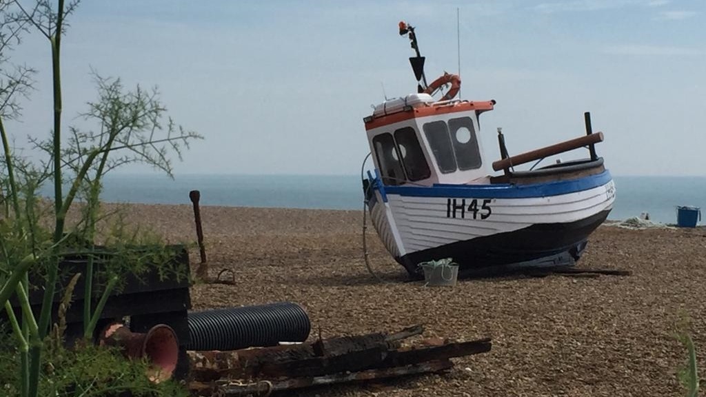
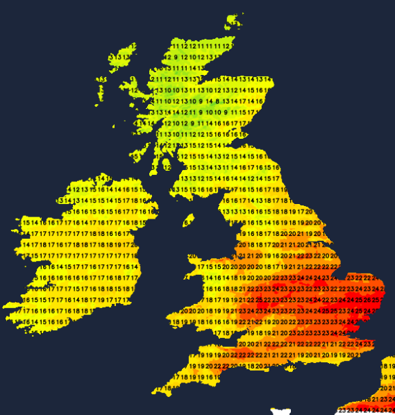
Monday morning brought quite a change in the UK weather after last week’s heatwave. The top temperature was 33.2C for Charlwood in Surrey on Saturday with several new June station records being set for highest daily maximum temperatures. Now we are into a fresher westerly flow off the north Atlantic. There is still warm sunshine but the air feels very different in the blustery wind. There is convective infill and showers for the far northwest and temperatures in southern Britain are peaking around 20 or 21C.
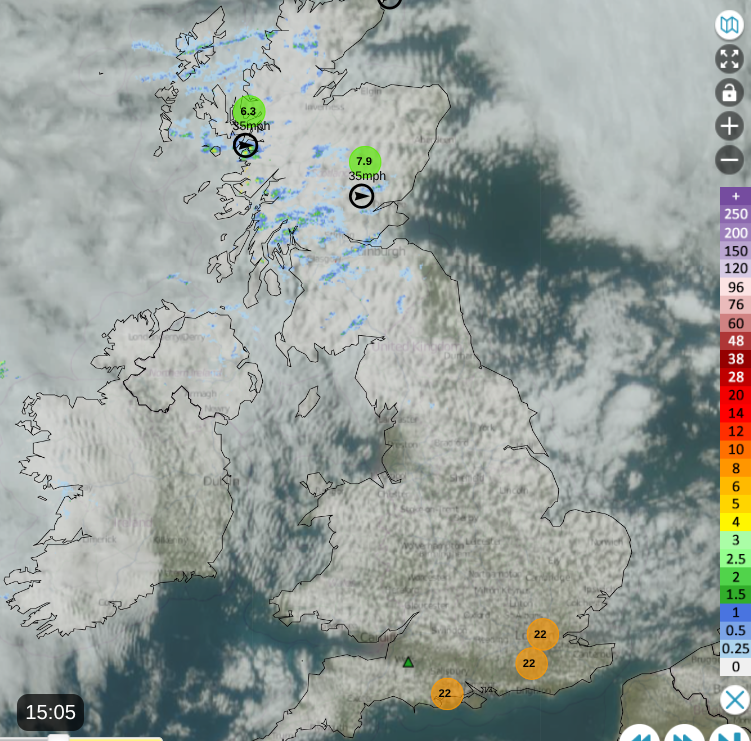
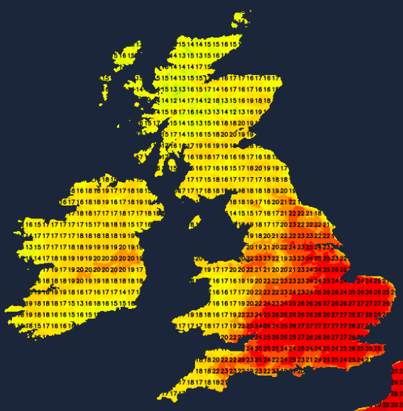
Netweather Radar Extra Monday 23rd 3pm
There is more warmth and humid air on the way for southern Britain, particularly the southeast, as we head towards next weekend. Temperatures could reach the high 20sC again. Looking at the UK as a whole, there will be some rain. Western areas will be more exposed to the frontal bands coming in off the Atlantic and there is a little feature from the Bay of Biscay later on Wednesday, so southern England. The week looks mixed with blustery winds, more cloud about and mostly the temperatures will be lower than last week. However, the sunshine is still strong and will easily warm things up and southeast Britain might reach 29 or 30C by next Saturday.
On Tuesday, a frontal band of cloud and patchy light rain will slide across central Britain, after a wet night for Northern Ireland. North Wales, NW England, western Scotland could all have a grey and damp start to Tuesday with heavier rain over the hills and mountains. To the lee of high ground there will be sunshine coming and going. The rain will turn more showery in the afternoon as southern Britain sees a fair day with temperatures of 22 to 25C. Further north, it will be 16 to 21C as the westerly wind continues.
The waving cold front will manage to produce a line of sharp showers into the night, stretching from Merseyside to the North Yorkshire Moors and perhaps grazing north Wales.
Wednesday
For much of the UK, Wednesday will be a quiet and fair day. There will be more cloud about with perhaps with some early dampness for western Wales and the Bristol channel as the last remnants of the frontal band fade. The winds will fall light and where any sunshine appears, it will feel warm and humid. Wednesday afternoon looks fine. Glastonbury begins and overall the weather looks fair but increasingly muggy.
Two areas of rain will appear. One, the frontal bands of a low pressure south of Iceland and the other a low pressure from the Bay of Biscay. The Atlantic fronts will bring outbreaks of rain by Wednesday evening to Northern Ireland and western Scotland as the wind begins to back to a southerly. From the southerly feature, there will be showers for southwest England by late afternoon and elevated showers across southern counties into the evening. It will feel very warm and humid in southeast Britain and there is a risk of thunderstorms overnight for London, the Home Counties and East Anglia. Something to watch this week.
Thursday
Thursday will start off with outbreaks of rain but sunny spells for some and a muggy, warm feeling in a southerly breeze. The winds will then veer as the frontal bands sweep out over the North Sea. There will be a brighter, sunnier spell in the middle of the day but there is more rain from the west later on. Southern England should miss most of the rain.
Outlook
The humid heat looks to last into the weekend for southern Britain, particularly for the south and east. As Northern Ireland and Scotland start their school summer holidays next week, the weather looks unsettled with a strong influence from the Atlantic. This will be blustery cloud and outbreaks of rain running past the northwest of the UK. Elsewhere could stay very warm, so that air might reach to Co.Down and Edinburgh. The ECM model has very warm air right up to northern Scotland for Monday 30th.
Loading recent activity...