After an unsettled, often windy and cool week, changes are ahead in the coming new week that will bring an increase in temperatures and humidity. Later in the week and next weekend it could turn hot in the south, but with rising heat and humidity and low pressure approaching the west, there will also be a risk of thunderstorms spreading north at times.
The changes are coming about because the strong westerly jet stream running across the UK today and recently, bringing the cool and changeable weather off the Atlantic, buckles to the west from mid-week, allowing the flow to back southerly and pulling a plume of very warm air north from Iberia - where is very hot today in the south of Spain.
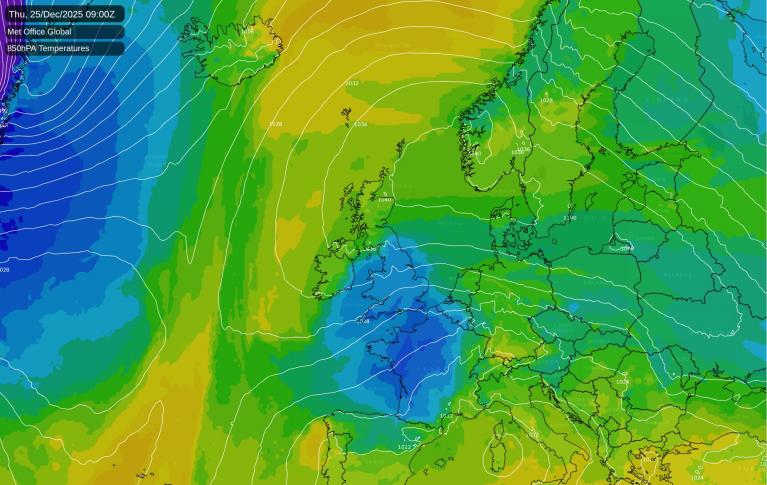
Jet stream, which is zonal and over UK at the moment, will buckle to the west mid-week, which will allow warm air to be pulled north over the UK later in the week
Before the plume of very warm air arrives, the jet stream will shift a little further north than it has been, so the next but last low pressure system moving east off the Atlantic this coming week on Monday evening will cross the north, rather than the south, as was the case yesterday. So mostly dry and bright on Monday, but with some showers in the northwest, before cloud thickens from the west in the afternoon, with outbreaks of rain spreading east across central and northern areas through the evening, rain not particularly heavy away from western hills. Southern England and south Wales likely staying mostly dry.

A brief ridge of high pressure builds in on Tuesday, so it will be somewhat drier and brighter, but still a risk of scattered mainly light showers developing.
Wednesday sees high pressure shift east and build over northern Germany and Denmark, while pressure falls to the west and southwest - as an upper trough moving southeast over the far North Atlantic earlier in the week stalls and amplifies to the west while merging with upper low west of Iberia. This will serve to back the flow to come from a southerly direction on Wednesday, pulling a plume of very warm air north, from a hot Iberia, where temperatures have reached 41C today in the Andalucia in southern Spain. The heat spreads up through western France on Tuesday and Wednesday, reaching 37C in the Bordeaux area on Wednesday.
Plume of very warm will push north in across England and Wales from mid-week, relaxing on Thursday before a second even warmer plume perhaps arrives Friday or Saturday
So, it will become warmer and more humid from the south from Wednesday. Temperatures are forecast to reach the mid-twenties Celsius on Wednesday afternoon across southern and eastern England. However, with pressure falling to the west and a shortwave trough forecast to move northeast on Thursday morning ahead up the main upper trough to the west, there is a potential for a line of thunderstorms to develop and move slide north-northeast across parts of the UK on Thursday, though where is still uncertain this far off. Slightly cooler conditions following this trough moving in from the southwest for Thursday, but could still see temperatures reach the mid-twenties across eastern England, as the plume just about hangs on here.
Risk of thunderstorms on Thursday and again on Friday, but uncertain where for now, with differences between models

A second plume of very warm and humid air may return back in across southern England and south Wales on Friday or Saturday too, timing uncertain. The 06z GFS showing 30-31C across southern England on Friday, similar temperatures across East Anglia on Saturday too. The 00z GFS had temperatures as high as 33C across London and parts of SE England. ECWMF not quite as warm on its 00z and 06z runs, but still reaching the high 20s Celsius on Friday across SE England.
GFS showing hot conditions in the south on Friday

However, there also looks like there could be another round of thunderstorms pushing up from the south during Friday evening and night, again uncertainty where. GFS suggests SW England, Midlands Wales and further north at risk, while ECMWF has the risk further east. Too far out to have any confidence, but the risk of more storms to end the week is looking increasingly possible. Whether these storms will be followed by fresher conditions from the west or whether the heat hangs on across the east, is also uncertain. But it does appear from the ensembles that a cooler and fresher airmass will push in from the Atlantic at some point next weekend.
Loading recent activity...