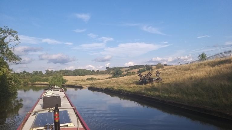
Saturday looks wet. The cool air from the west remains with us this week with low pressures, showers and heavier bouts of rain. Any June sunshine will feel warm but it's an unsettled outlook.
After the warmest and sunniest spring on record, June is feeling decidedly cool. There has been plenty of rain, welcome rain, but it might be nice to enjoy a fine summer’s day. That is not the forecast for Saturday as another Atlantic low pressure runs in from the southwest bringing heavy and thundery downpours. These widespread showers will keep everyone on their toes as they rattle through with darkening skies, sudden gusty winds and bouts of rain. They then clear and the skies brighten but you will need to keep an eye out for the next one. Or watch the Netweather radar. It will be one of those days when you think that the weather can’t decide what it wants. Sunday looks better overall but still not wholly reliable. Take a raincoat or an umbrella and if it’s a wedding, just cross your fingers and hope. You can’t do anything to change where these showers will head and a weather app won’t tell you that detail.
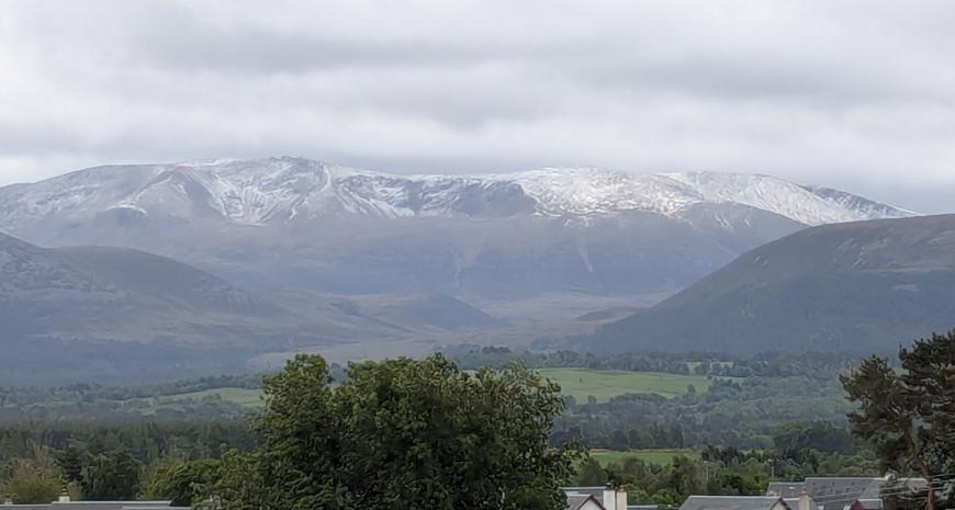
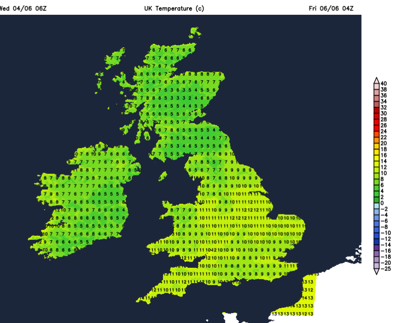
In this cool air, there was snow overnight for the tops of the Scottish mountains. We are creeping towards the longest day and there is little darkness now for northern Scotland but temperatures still fell down to 3C in Aviemore, below zero for the mountains.
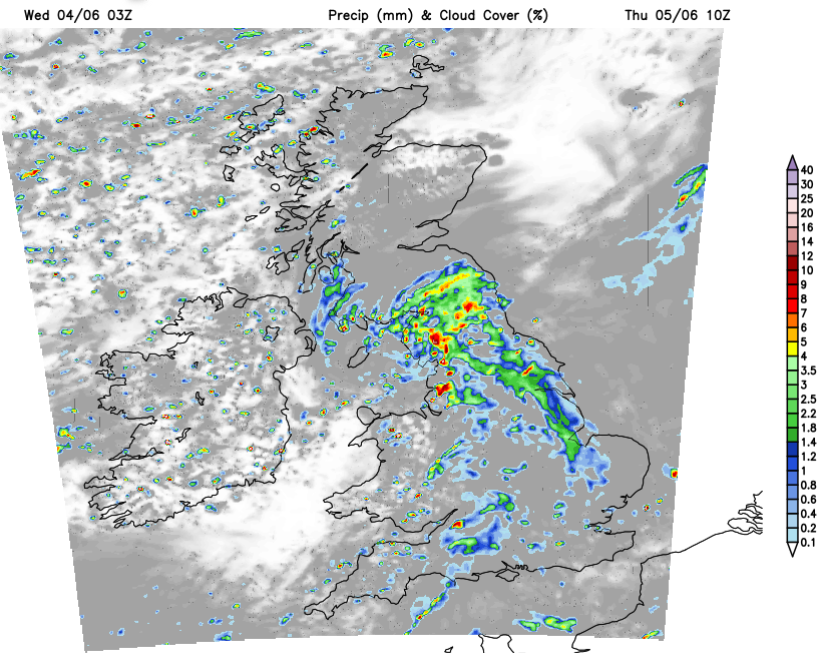
If you thought that the sky was looking slightly strange with an odd haze, it could have been Canadian wildfire smoke. It’s been caught up in this brisk flow and whirled across the North Atlantic, showing up on Satellite imagery with a brownish tinge.
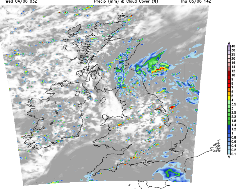
Low pressure remains to the north of Scotland over the next few days. This will spiral showers and bands of rain across the UK. On Wednesday most of the showers will be over the northern half of the UK, with a convergence line running across the southern counties of England. Elsewhere will have a fair day, with rather cool air but warm sunshine for sheltered spots. By Thursday, a small feature will run in over Ireland and bring early rain to Northern Ireland, Wales and southwest England. There will be showery bursts for England ahead of the main area of rain which will spread into NW England, the Midlands
Northern Ireland will soon brighten up as the rain moves eastwards but showers will continue for the middle of the day before easing. Temperatures will be 14 to 16C in a westerly wind.
Wales, the West Country and the Midlands will all brighten up and see sunny spells by lunchtime but continue to see showers as the early rain clears. There will be a moderate southwesterly wind with temperatures of 17 to 20C inland. London and the Home Counties will stay rather cloudy with a few more showers and a fresh SW wind.
The heavier rain will move over NW England, the Pennines into southern Scotland and northeast England. That will take a bit of time to clear eastern Scotland in the afternoon but elsewhere will be sunny spells and showers with temperatures around 14 to 16C. There will be a frontal band with heavier rain running along the English channel bringing wet weather to the Channel Islands on Thursday evening and perhaps throwing a bit of rain over Kent on Thursday night. For much of Britain and Ireland, the night will be clear and colder as the flow comes in from the northwest.
Clusters of showers begin to appear in the small hours of Friday working their way over Wales and England. Many will start Friday dry and bright but as so often this week, there will be showers lurking. The showers and blustery westerly wind will make it feel cool. The showers will ease by the evening as high cloud begins to appear from the west.
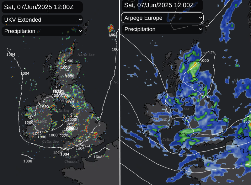
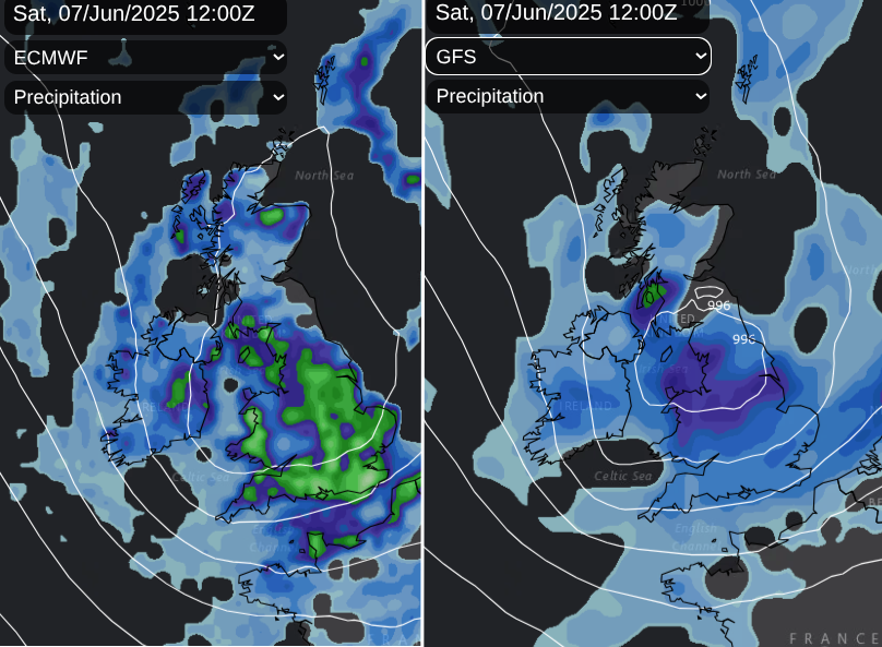
The signal for a low pressure on Saturday is strong. There is slight uncertainty about the exact timing of its sweep across the UK. However , there will be heavy downpours, the risk of hail and thunderstorms, and large puddles for England and Wales with hefty downpours for Scotland. The different models have different grid resolution when looking three days ahead and so on the UKV model above you can see distinct shower detail. The GFS (top) has less subtly whereas the ECM model shows some of the heavier bursts and showery nature.
Showers will be slow-moving over northern Britain in light winds but it will be windy further south, especially along the south coast. Later in the day, a dig of cold northerly air will bring clearer skies to Northern Ireland as the showers move eastwards.
Loading recent activity...