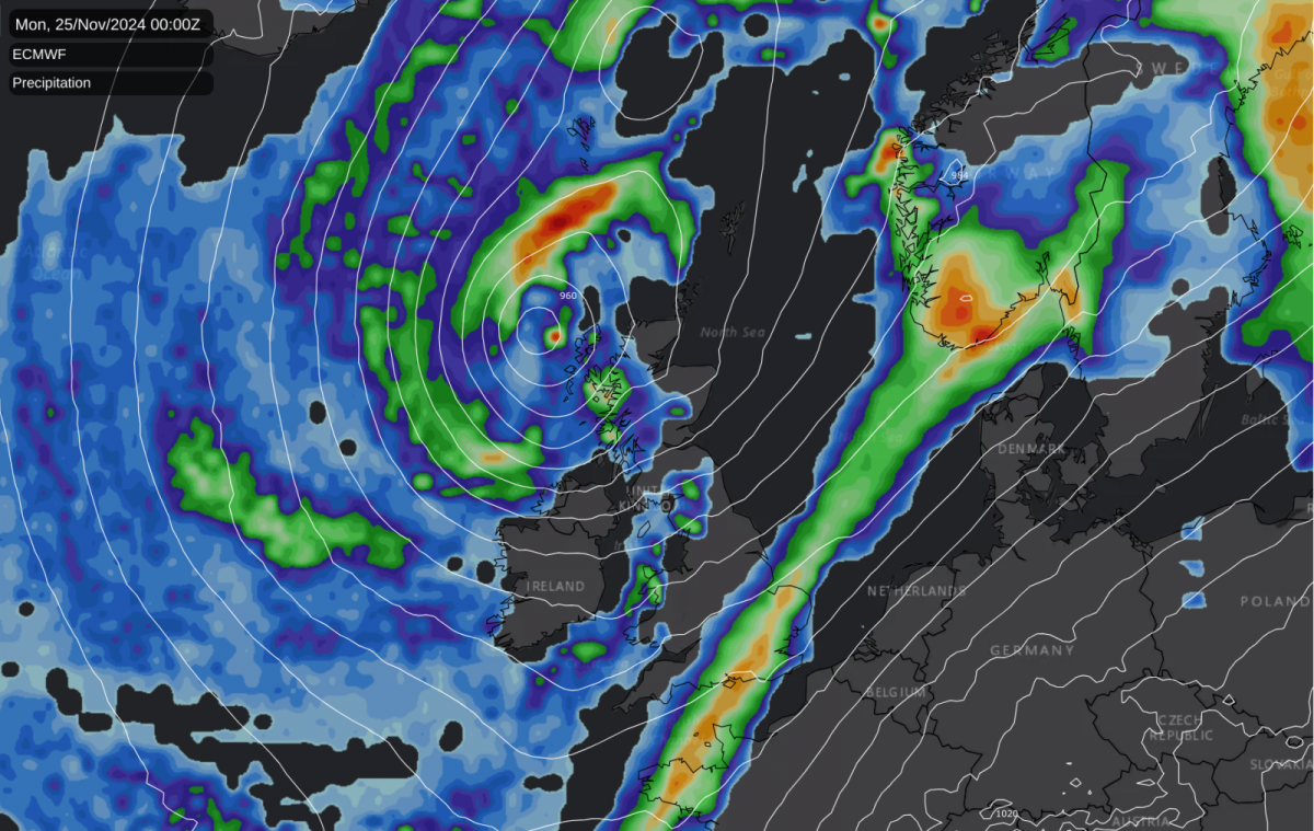
After the coldest spell in November since 2010, parts of East Anglia and the South East are seeing temperatures up to an exceptionally mild, even rather warm, 18C into Sunday afternoon in any brightness as we go from one extreme to another.
This is because Storm 'Bert' has sucked up air from the Azores area, bringing a sudden rise in temperature. Although slowly weakening, the storm will continue to dominate the weather across the North into Monday before moving on into the Norwegian Sea.
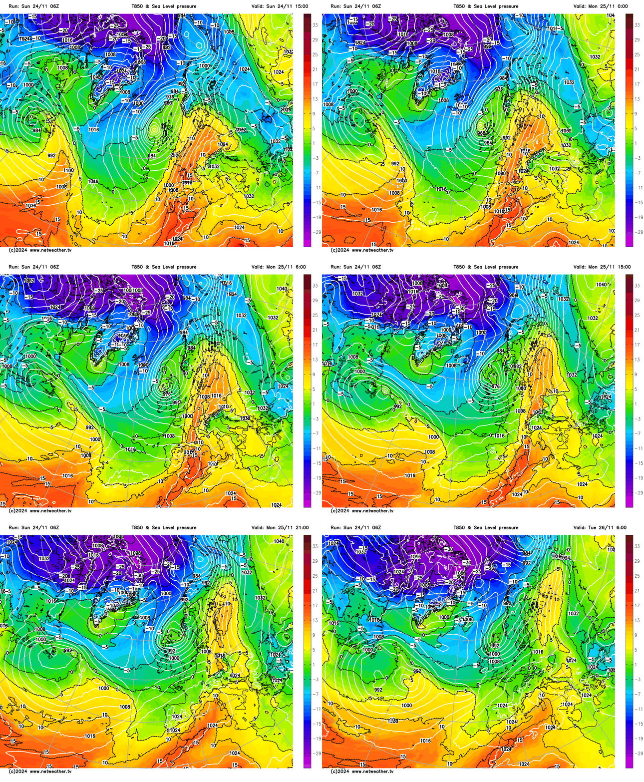
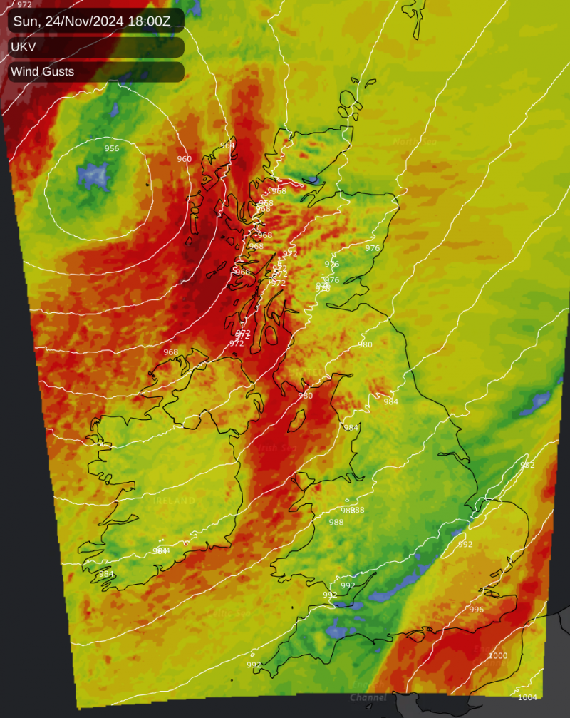
We still have several Met Office weather warnings in force for the remainder of Sunday of strong winds in the West, East, and South. The combination of heavy rain and snow melt has also led to many flood warnings and alerts, these mainly across the North and West and parts of the Midlands.
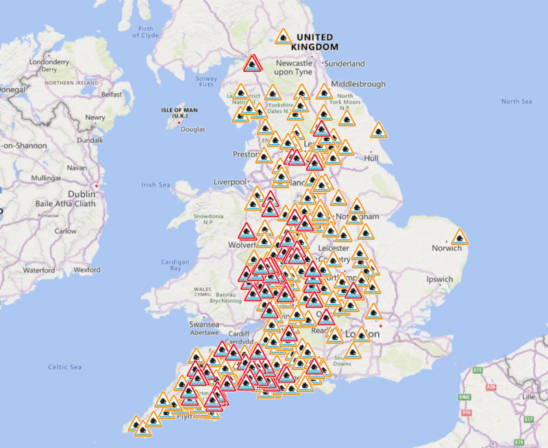 Flood warnings map at the time of writing
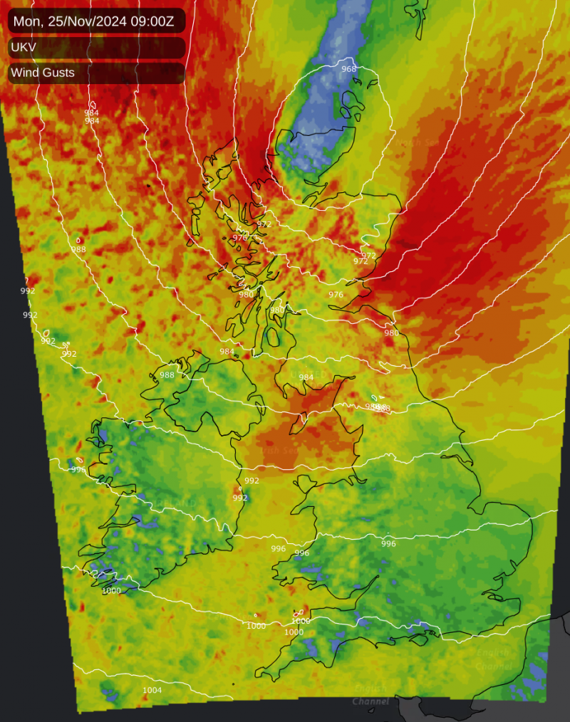
Sunday afternoon brings further blustery, even squally showers to the North and West of Scotland and Northern Ireland. Some will be heavy, accompanied by gusts of wind from the South West or South of up to 60 to 65mph in exposed areas.
Across England, a trailing set of fronts is giving outbreaks of rain, heavy in places, that'll slowly move eastward, leaving the North and Wales with some sunshine to end the day. After dark, the fronts should eventually clear into the North Sea, making it less mild in the East and South by morning.
Monday sees all parts into a boisterous South West to Westerly airstream. Storm 'Bert' continues to bring blustery showers to Scotland and Northern Ireland, some heavy and squally in the West but more particularly to the North. The West of England and Wales also see some blustery showers, with some coming through the Ribble and Severn estuaries to affect parts of the North, West Country, and perhaps the South Midlands. Elsewhere you'll see fewer showers and the best of the sunshine, with some eastern parts missing the showers altogether.
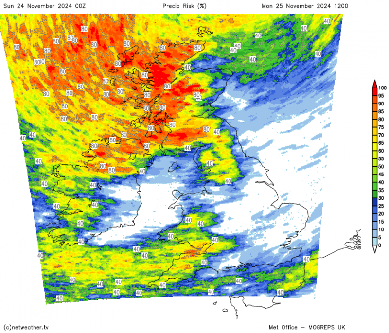
The start of the new working week also sees gales continuing to affect Northern Ireland at first and the West but more particularly the North of Scotland, but elsewhere winds will be somewhat lighter. It'll remain mild, but it'll be less so across the East and South with top temperatures here 10 or 11C and more generally 7 to 9C.
After dark, the North and West continue to see showers, but they shouldn't be as blustery as Storm 'Bert' moves away and continues to weaken. There'll be clear spells especially across England and Wales, where passing showers should be largely confined to the West. But it'll be chillier with the showers turning wintry over the higher peaks of the Scottish mountains, as temperatures fall mostly to between 2 and 6C.
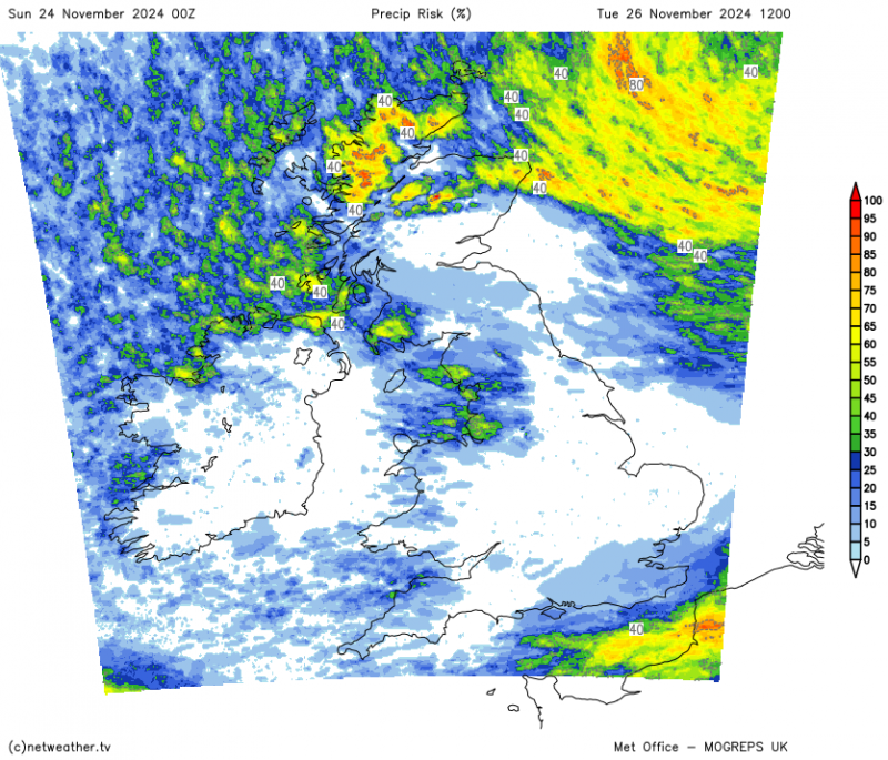
Tuesday sees sunny spells and a fair amount of dry weather with fewer showers, but later a depression could bring some rain towards the South West. This could leave southern areas wet by Wednesday, although the track of the depression remains a little uncertain at present, so don't take this prediction literally.
Loading recent activity...