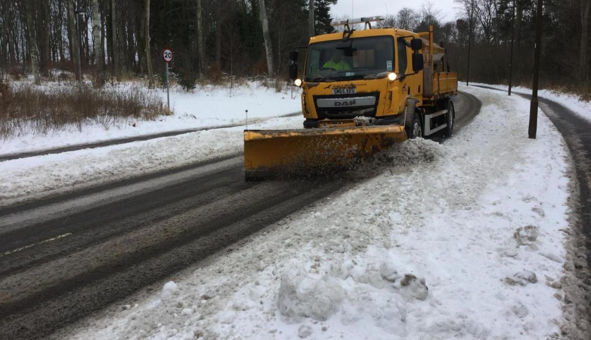
Tuesday morning saw much of North Wales and the North and West Midlands under an early carpet of snow, with 12cms falling at Watnall near Nottingham. There have been many reports and photos this morning in the Netweather Community forum.
In the South, it's milder but as the snow mix of rain, sleet and mainly hill snow moves away, the very cold air elsewhere will eventually spread to all parts.
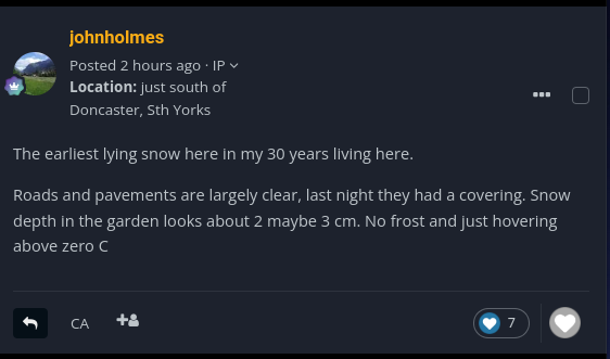
Snow is not unusual in November, it falls somewhere in the country on average one in every four years. But it's certainly very cold at the moment, with yellow warnings of snow or ice still in force for the northern half of Scotland, Northern Ireland, North Wales and the Midlands.
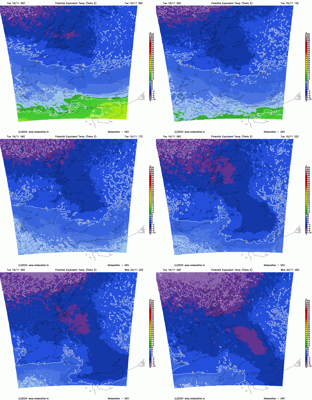
By dusk on Tuesday we'll all be 'in the same boat' as bitter winds from the Arctic, bring a mix of clear spells and wintry showers. After dark hail and snow showers continue to be frequent over the northern half of Scotland, giving more accumulations and temporary blizzard conditions over hills in a bitter and blustery North West wind. Exposed coasts particularly of Northern Ireland and North Wales will also be prone to wintry showers, with some coming through the 'Cheshire Gap' into parts of East Wales and the West Midlands. A widespread sharp frost sees temperatures falling to -1 to -5C, but as low as -8 or -9C again in some sheltered valleys of Scotland and the North.
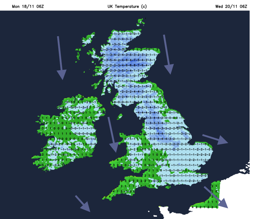
Wednesday sees further sunny spells but it'll remain very cold in a bitter North West wind, with temperatures on the whole getting no higher than 2 to 4C. Only the far South West and the Channel Islands will be somewhat milder. More blustery hail, sleet and snow showers are expected particularly over the northern half of Scotland, where further blizzards are likely in the mountains.
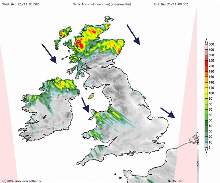 Forecast snow deposits from showers in cold N/NW flow
Again it'll be exposed coasts that bear the brunt of the showers, particularly those of Northern Ireland, North Wales and the South West where they're more likely to fall as rain or sleet. Elsewhere the showers will be more scattered, with the best of the sunshine in sheltered central and southern parts.
After dark another widespread frost is expected, with a scattering of hail sleet and snow showers continuing to affect mostly the same areas. An exception could be the far South West where an Atlantic system may encroach close enough to give a wintry mix of rain, sleet and hill snow. A bitter North Westerly wind will be blustery in some of the showers, with temperatures mostly falling to between -1 and -5C once more but perhaps as low as -9 or -10C in the coldest spots further north.
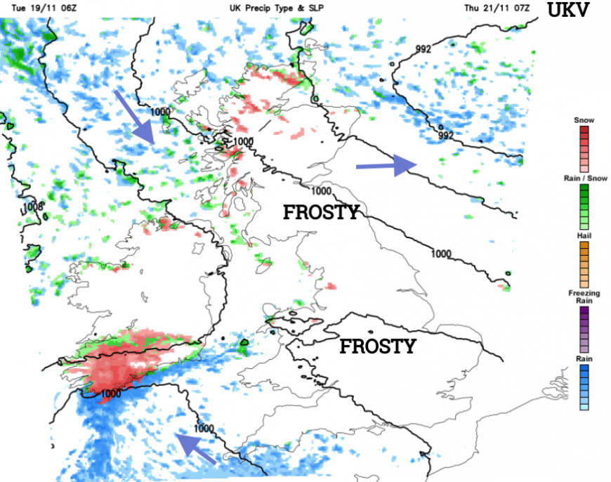
Thursday may see snow showers becoming more widespread over Scotland for a time, with the far South and South West also perhaps seeing a wintry mix. By the weekend though the return of milder wet and windy weather will be bringing a thaw.
Loading recent activity...