After rapidly deepening Storm Ashley will near Scotland by the end of the weekend. Wild conditions will bring disruption on Sunday and coastal flooding.
The first named storm of the season is Ashley and is due to impact Ireland and the UK on Sunday 20th October. Storm Ashley will bring bands of heavy rain, strong winds with gales and high gusts but also the complications of coastal flooding.
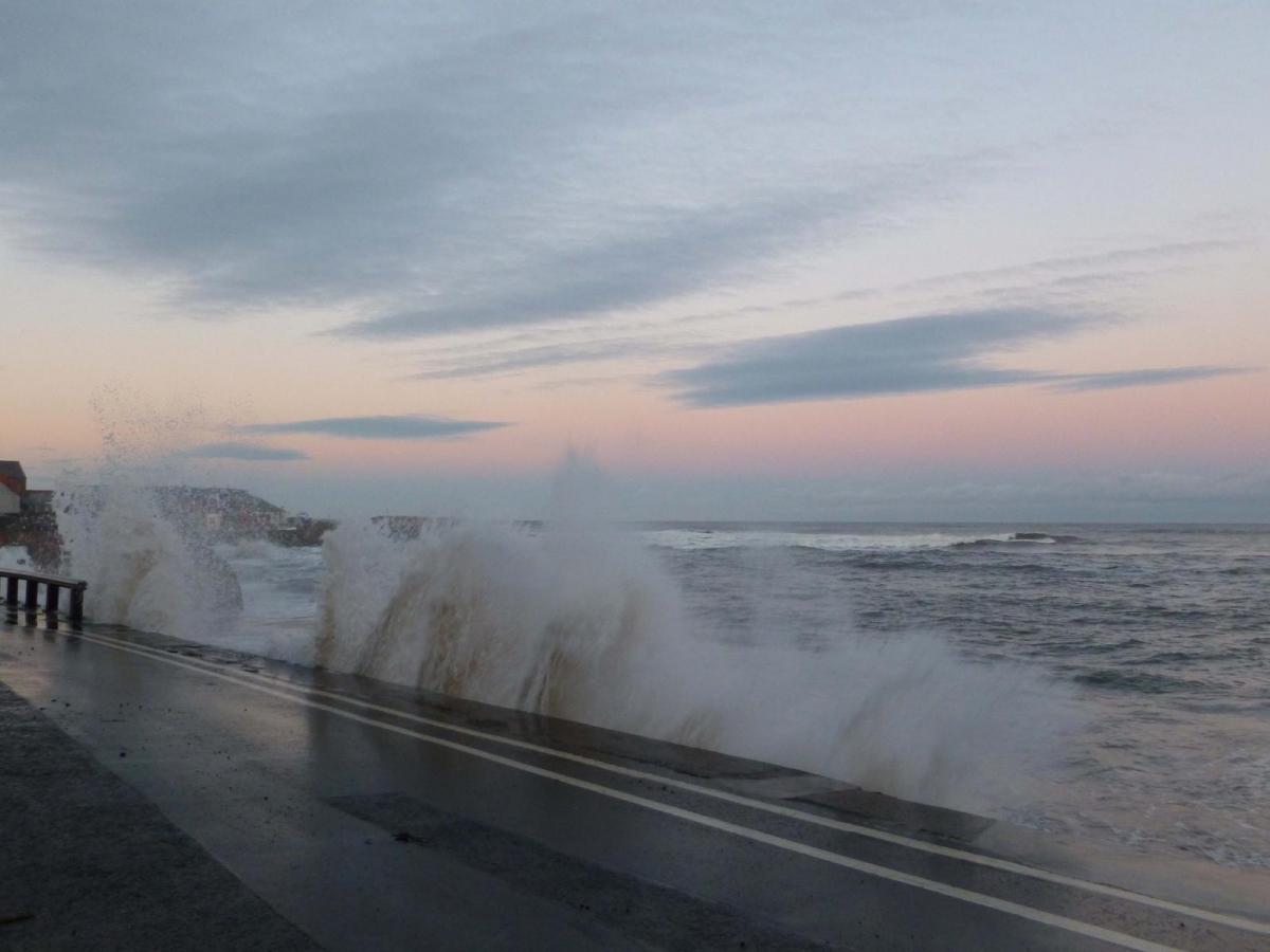
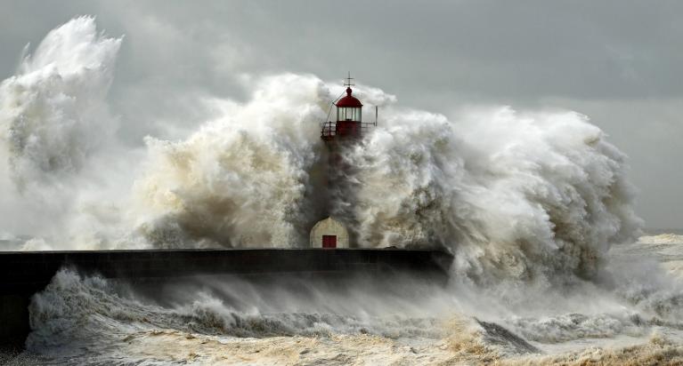
Met Éireann “Storm Ashley will bring very strong and gusty southerly winds, coupled with high spring tides. Impacts: Coastal flooding, Large coastal waves, Fallen trees and Very difficult travelling conditions, dangerous conditions at sea”
Very high tides continue this weekend after exceptional Spring tides thanks to the Supermoon on Friday. It is this combination that is causing extra concerns; the extra tide height with overtopping, heavy rain causing surface water and an increased flow of water down rivers and hillsides. Along with the push of the southerly winds creating a surge against exposed shores and there will be large waves.
SEPA “Storm Ashley will bring high winds and heavy rain across Scotland over this weekend, with coastal flooding expected due to a combination of high tides and large waves.”
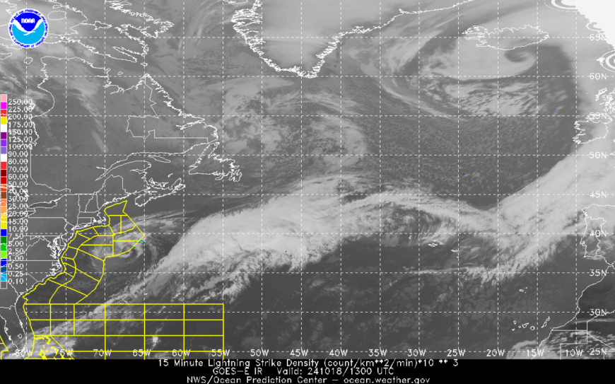
The bump in the cloud showing the early wave of what will become a deep low pressure, Storm Ashley
Sunday am
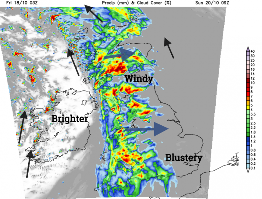
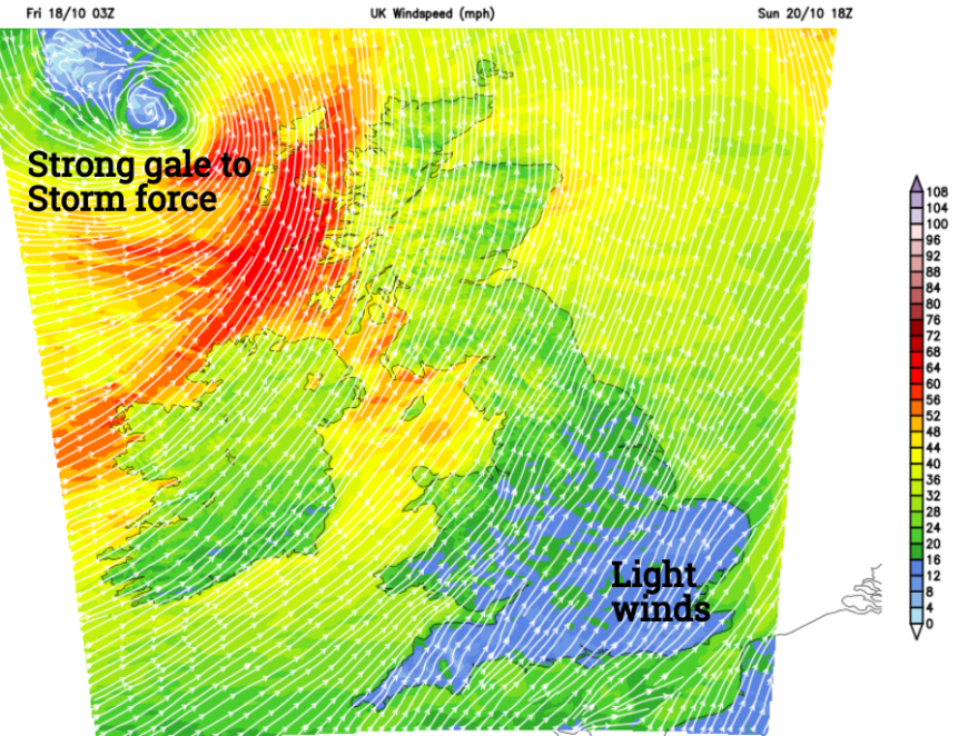
After a clear, chilly Saturday evening, cloud will increase from the west as the southerly winds increase over Ireland. Sunday looks wet at times and windy for much of the UK. As the frontal band of rain moves through on Sunday morning there will be a spell of strong southerly winds with gales through the Irish Sea, the North Channel and for west coast of Scotland. The wild weather will move over mainland Scotland reaching Aberdeen by lunchtime. There could be travel or power disruption in this first bout.
The high tides are mid-afternoon and coastguard agencies are already warning people to take care around the coasts with more folk on October half-term holidays. There are still plenty of leaves on the trees, giving a mass for the winds to impact but as the leaves fall they will block drains and potentially cause further localised flooding issues.
There will be a brighter lull behind the rainband but don’t be fooled, Ashley isn’t over. It will be Sunday evening and night when the most intense winds hit western Scotland with wild weather over Ireland, Northern Ireland, and the Irish Sea. Southwesterly gales will drive water into the Firth of Clyde and the Solway Firth with strong winds into Morecambe Bay. The low tide will be during Sunday evening but as Ashley hasn’t even formed yet it is wise to begin any preparations if you are in the zones mentioned by Environment Agencies.
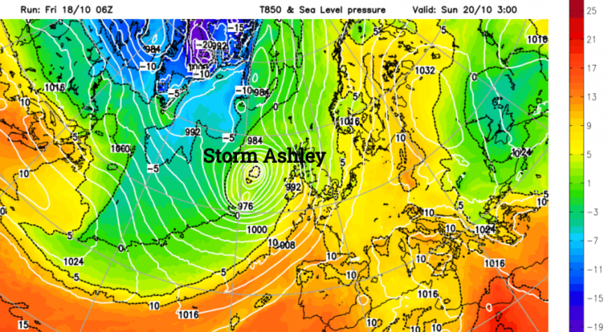
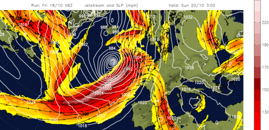
It’s autumn and we should expect wet and windy weather as the Atlantic low pressures get going. The largescale contrast of colder air in the north against still warm air from the Tropics helps fire up the jetstream at this time of year. With a stronger core, a rather ordinary low pressure will move into an area of development, the left exit of the jet streak and rapidly deepen. The 12Z Sunday (T+60) Met Office surface pressure chart shows the low down at 951hPa west of Scotland and then filling to 958hPa north of Scotland by 00Z Monday.
Sunday pm
So on Sunday the cold front moves across Britain and skies brighten from the west. Next, the wraparound occlusion will curl towards NW UK and western Ireland with the centre of the low. Low pressures are named to raise awareness of upcoming severe weather and to allow people time to prepare their homes and businesses or consider and adjust their plans with good information. It’s easy to imagine that West Coast Scotland ferry services will be severely impacted by the end of the weekend and possibly those from Stranraer, Belfast, the Isle of Man and the Northern Isles. The yellow wind warning covers west coast Wales, Cumbria, all of Northern Ireland and all of Scotland with an embedded Amber wind warning for the west coast.
Monday
The worst of the wild weather will be away from Orkney and Shetland by dawn on Monday. The yellow wind warning lasts until 9am for northern Scotland to cover any ongoing disruption as the low heads up the coast of Norway. The trailing weather front (which will bring rain on Sunday morning) could wave back up over southern England, bringing a wet start to the working week.
More chat about Storm Ashley in the Netweather community forum
Loading recent activity...