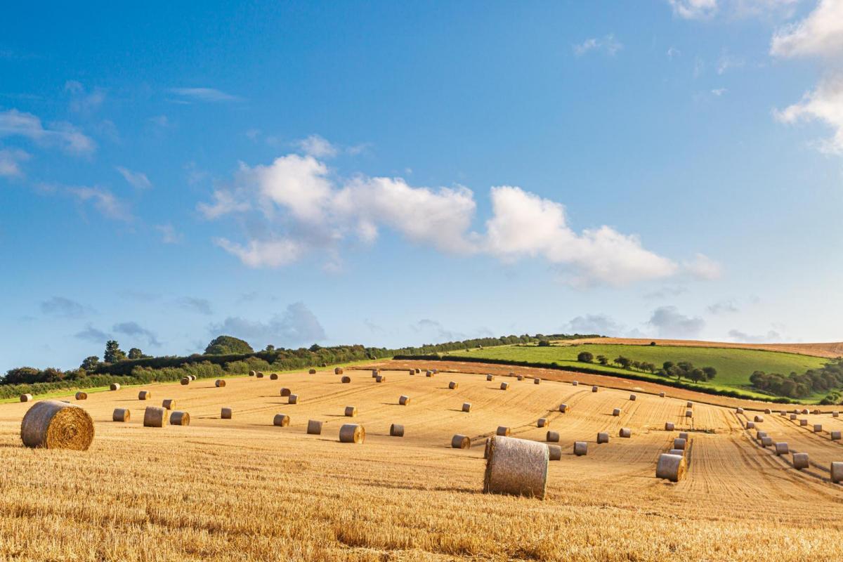
It’s the first week of September, of meteorological autumn, and back to school for many more families and teachers. Even if you don’t have children returning to the classroom, this time of year signals a shift towards fewer daylight hours, a nip in the air by night and more traffic on the roads. Farmers have spent hours out in the fields harvesting at the end of August rushing to use the window of fine, dry weather before Monday’s downpours.
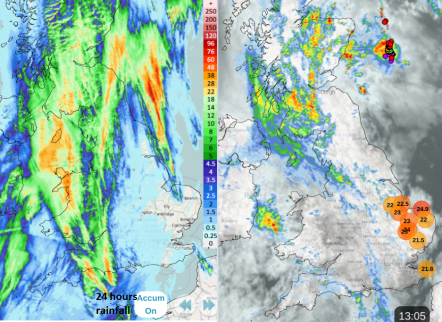
For those who did go back to school today, there was heavy rain to start the working week. A plume of warm, humid air was accompanied by murky low cloud and clusters of heavy showers working their way northwards. There has been localised flooding in places. Southeastern England and East Anlgia missed the worst of it and clung to real warmth with temperatures in the mid-20sC. Changes are afoot as Atlantic weather fronts edge in from the west and re-introduce cooler, fresher air for the middle of the week. It could heat up again on Friday though.
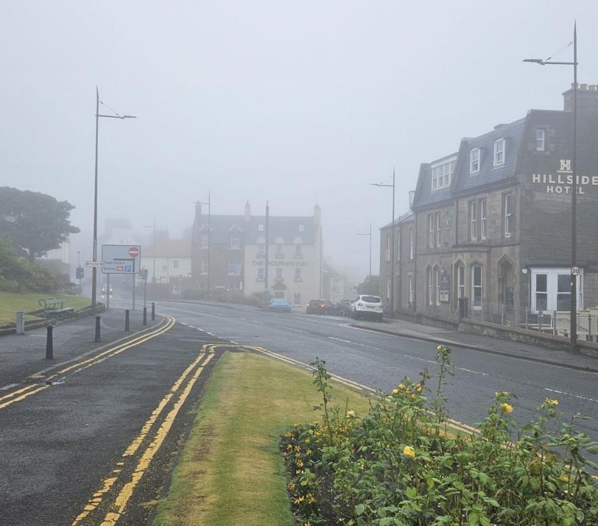
It hasn’t felt cold even with all the misty wet weather and as breaks appeared in the cloud cover, the afternoon temperatures have leapt up. For those who sent their children off in a thick jumper and big coat, they won’t be thanking you by hometime. Conversely, those who wouldn’t listen when you suggested taking a raincoat or umbrella this morning, as the forecast didn’t look great, hope your drowned rat look is going well.
Scottish schools have been back a while. Monday’s heavy rain will clear away from Grampian and the Northern Isles this evening with further heavy pulses.
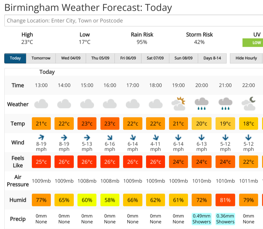
This week it will be worth keeping an eye on the Netweather radar for incoming showers and the Feels Like temperatures.
Monday has felt close and humid, for parts of England much warmer than just the air temperatures would suggest. As the air mass changes midweek, we lose the humid air and it will feel fresher, even cool early in the morning and after dark.
On Tuesday morning there will still be a weakness over southern Wales, the Midlnads across to eastern England with well-scattered sharp showers. To the southeast of this band, it will still feel warm, but a cool start further north where skies have been clear overnight.
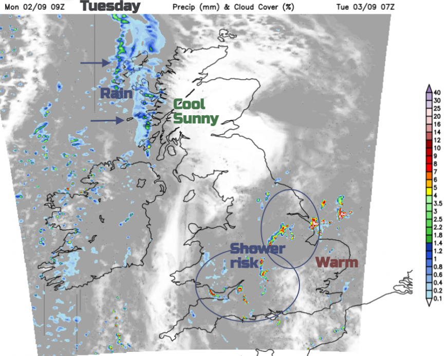
The showers link to a fading cold front which will edge towards southeast England and London around lunchtime. These will be slow-moving with hardly any wind but could give quite a downpour. Suffolk should manage to reach 24C in the sunshine. Plenty of showers will feed into Northern Ireland and western Scotland on a light westerly wind.
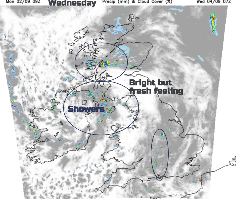
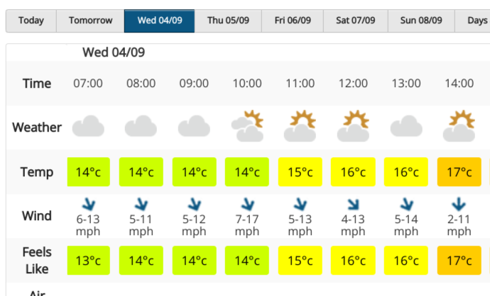
Cooler air from the northwest moves over more of the UK by Wednesday morning. A low centre associated with the showers over Scotland on Tuesday will pull down to the Irish Sea by Wednesday morning. There will be further showers and bright spells around the low with a distinct nip in the air for southern Scotland and Cumbria. Many parts of the UK should have a fair start to Wednesday with sunny spells and light winds. Western coasts of Britain and Northern Ireland will have a cool, light breeze. Further showers will break out across the UK rotating around the low centre. It’s hard to predict where exactly will see rain and where will miss but the forecast will show a risk of showers.
Wednesday night looks cool in places although more cloud and heavy showers could feed across central Britain on an easterly flow. Low cloud and damp conditions will take hold over eastern Scotland and E/NE England so it will feel cool for the grey areas. With a more northeasterly flow, it will be western Scotland and the West Country seeing the best of the weather with sunny spells, temperatures near to 19 or 20C and just a scattering of showers for SW England. The rain in the far southwest could gather itself and still be around for Friday morning. It's something to watch here and it could extend to other southern counties during the day with heavy downpours.
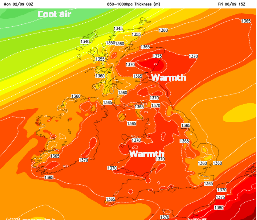
Warmer air will be drawn over the UK and there are signs of heat for the end of the working week away from the cloudy northeast. There is some uncertainty but temperatures could reach the mid, even high, 20sC although the NE wind is forecast to freshen over England.
Loading recent activity...