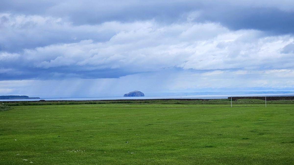
It's mid-June, and with low pressure over the UK, there will be a mixture of sunshine and heavy showers. Overall, the winds will be light, but the air mass is around average to cool. There is no sign of heat. Sunny spells will appear, and that means strong June sunshine, so it will feel warmer at times.
School exams are ending, so trips or overnight adventures are taking place, including camps. What to pack is proving tricky, whether just a day out, an evening gathering or a few days away. The showers keep on coming, so a waterproof jacket is a must. Anyone who will be outside in the evening will need a warm layer. Layering options are key this month. By day, the UV levels are high, so sunscreen is required, but sunhats are being swapped for woolly hats without a brim. Pack sunglasses to protect your eyes. Sleeping bag choices are more akin to those in early April, not summertime. A silk liner can really make the difference as the nighttime temperatures continue to fall into single figures.
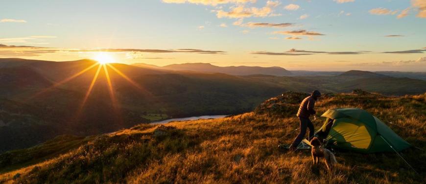
For anyone off camping, pack a waterproof jacket (I'd take the trousers, too), a buff and warm hat, a sunhat and sunglasses, a fleece, and even thermal base layers. Over the next few days, expect all kinds of weather.
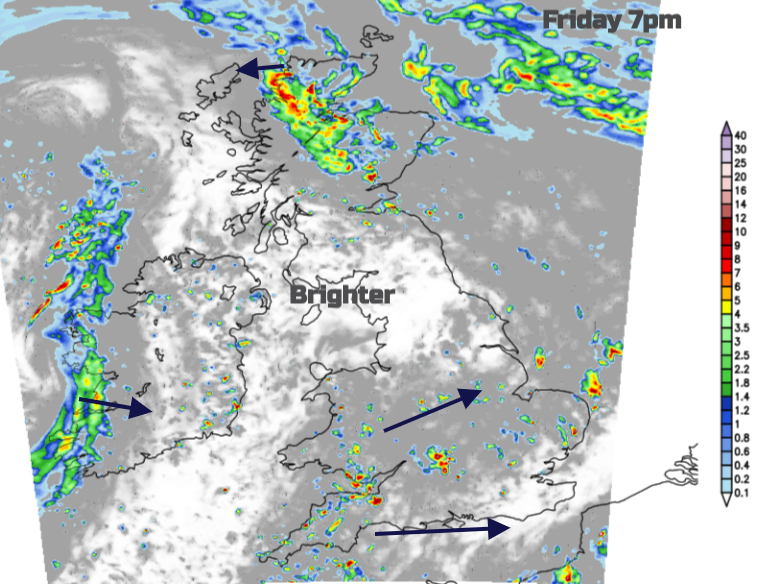
Some parts of Britain will see shower activity quieting down this (Friday) evening. Northern Ireland looks clear and dry overnight, but there will be an area of rain rotating SW over the Highlands and Islands, with heavy rain reaching Argyll in the early hours. Showers will move across southern Britain from the southwest, along the Channel, and towards The Humber. There will be plenty of gaps in between, but the risk of a hefty downpour remains, even turning thundery this evening.
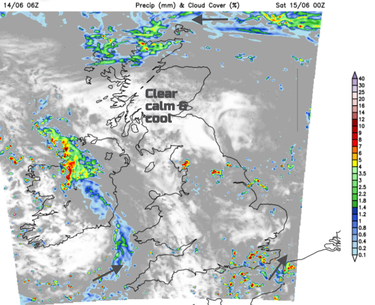
The showery line over western Ireland will progress across Devon, Wales, and the Midlands. By Saturday morning, a more active area of showery rain will be showing over the Irish Sea, with heavy downpours that will soon spill into North Wales, NW England, and the Peak District. Scattered heavy showers will run eastwards over southern counties of England, but in between, there will be right or sunny spells.
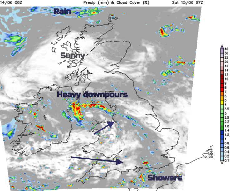
Southern Britain will have a noticeable SW breeze on Saturday, moving the heavy, even thundery showers along. Bright spells will appear in between. Heavy showers will drift westwards over Scotland with the risk of heavy, even thunder downpours on Saturday afternoon,
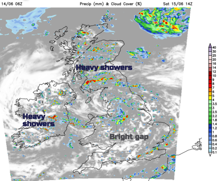
The circulation around the Irish Sea will widen, rotating around, but by Saturday evening, more areas will be fine and sunny. Through Wales across to the Humber, there will be a scattering of heavy, slow-moving showers with a large cluster moving from central Wales into the West MIdlnads later this evening, then to The Wash. A larger area of rain will move from Okenry over northern mainland Scotland right down the west coast in a freshening north wind as showers head east. Many places will be clear and cool with light winds.
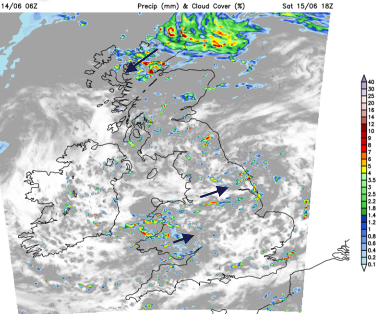
By Sunday morning, the area of rain will be across Northern Ireland and southern Scotland, with some lively downpours around the Forth. Many places will have a fair start away from this band, but showers will soon get going, and a rash will break out. The rainband and cloud will clear from Northern Ireland and southern Scotland into northern England in the afternoon. Across the rest of England and Wales, there will be a good deal of fine, sunny weather and it will feel warmer, 17 to 22C with a light SW breeze. Further north, cooler.

It's hard to put hourly detail on the weekend weather with this risk of heavy showers and the likelihood of bright or sunny spells. Will it Thunder?
Loading recent activity...