Unsettled weather persists with rain and showers expected to continue into the Easter break. A brief improvement today offers some sunshine, but don't put away the umbrella - Atlantic systems bring further wet weather overnight and throughout the week.
As a weak transient ridge crosses the country later today, the showers, which will be wintry on northern hills, will fade before another Atlantic depression brings cloud and some rain to western areas overnight. The outlook into the new week remains very unsettled, with depressions never too far away bringing more rain or showers in the run-up to the Easter break.
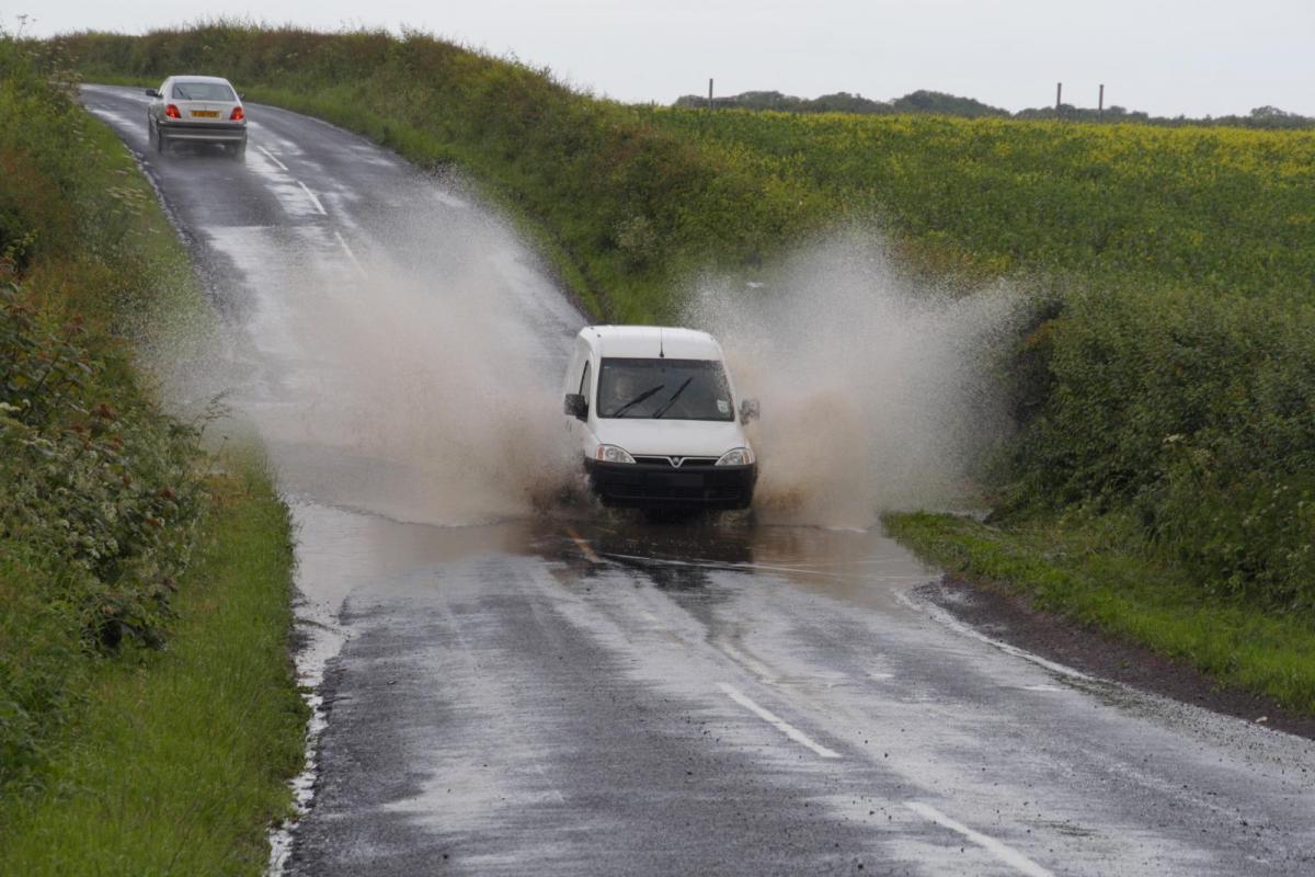
It'll also remain on the chilly side, and while temperatures should recover somewhat into the holiday period, it'll probably remain unsettled. So there's still no sign in the immediate future of an end to the wet weather. With sodden fields, the farmers, in particular, will be praying for a dry spell in the hope of divine intervention as we approach one of the major events on the religious calendar.
Remaining showers in the West fade as a weak ridge brings an improvement, albeit brief, in a drier, brighter day for most with some sunshine. However, across the north of Scotland and towards the East coast, the showers will keep going into the afternoon before fading towards evening, with a few of them quite sharp for a while, giving hail, sleet and snow on the higher Scottish hills.
After a cold start, a somewhat raw North Westerly wind still fresh and blustery in the East and across North East Scotland at first, will be lighter than yesterday more generally but will still feel chilly if you fancy venturing out. But it'll be pleasant enough in the sunshine, with top temperatures about 7 to 9°C in the North and 10 to 12°C further South.
Increasing cloud into the evening brings bursts of rain to Northern Ireland, much of Wales and the South West, that'll spread to North West England and perhaps parts of the West Midlands overnight. Further North and East, it'll stay dry, but with light winds and clearer skies here, there'll be a touch of frost in places and perhaps a few short-lived mist or fog patches towards dawn. Lowest temperatures zero to +3°C, but across Northern Ireland and in the West expect a milder 5 to 8°C in a South East or southerly breeze that'll freshen a little.
Monday sees bursts of rain in the West, spreading into Dumfries and Galloway through the day. Further East and North, after a cold start, it'll tend to cloud over after some sunshine, but it should stay mainly dry here. An East or South Easterly wind will be more generally felt and will feel chilly in the North and East particularly at first. But this shouldn't prevent temperatures from reaching 7 to 9°C again in the North and 10 to 12°C perhaps locally 13°C in the South.
Apart from a few showers in the East, the northern half of Scotland should continue mainly dry. But as pressure falls steadily everywhere, showers will move up from the South. There'll be heavier bursts of rain, mainly in the West, with an Easterly wind freshening a little further. But although probably not feeling so, it'll be a milder night, with lowest temperatures about 3 to 5°C over northern Scotland and 7 to 9°C further South.