Colder air will take hold this weekend but sheltered spring sunshine should still feel fine. Blustery showers will whizz by on Saturday, drier for a time on Sunday.
There will be colder air across the UK for this weekend. A cold front is clearing southern Britain on Friday and behind this, the blustery airflow is coming down from the Arctic. A low pressure to the northeast of the UK will dominate the first half of the weekend. This means showers and windy conditions mixed with sunny spells on Saturday. It won’t feel too bad in any sheltered sunny spots, but if you are out in the wind as a hail shower passes by, you will need your coat and hat. High pressure tries to build up from the southwest on Sunday but another Atlantic low pressure shoves in. The frontal bands from this will bring more cloud and outbreaks of rain to Ireland on Sunday afternoon. This rain could reach Northern Ireland, western Wales, Cornwall and Devon before dark. Ahead of this band will be a fair Sunday, with the winds easing.
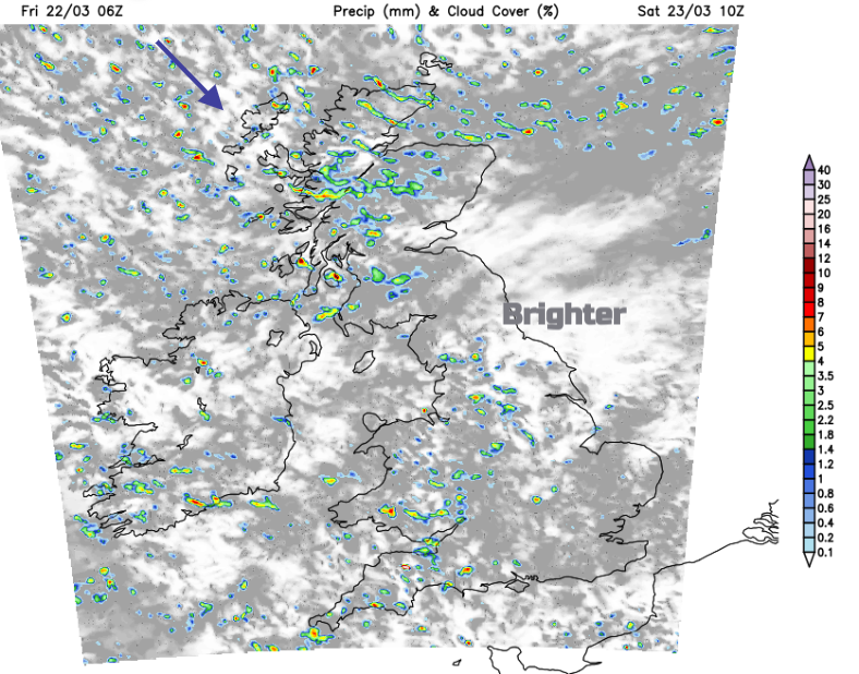
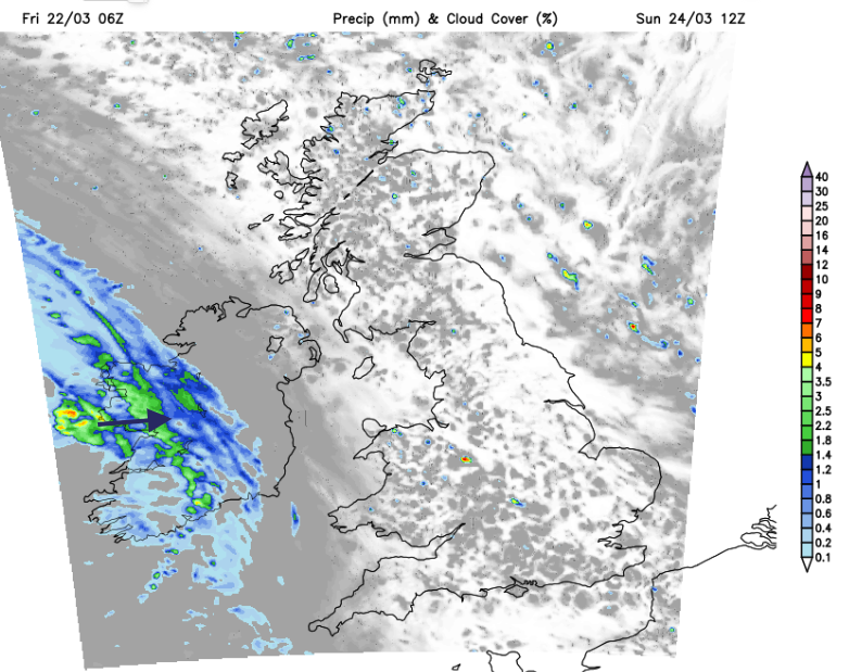
A significant low pressure will move from Iceland down the North Sea to Denmark this weekend. As it passes by there will be windy weather and a feed of showers from the northwest. On Friday the band of rain from the cold front will pass over London and the Home Counties at lunchtime and take its time to clear Kent late afternoon. Behind this frontal rain and cloud there will be sunshine and fair weather but the showers in the far north will gain ground.
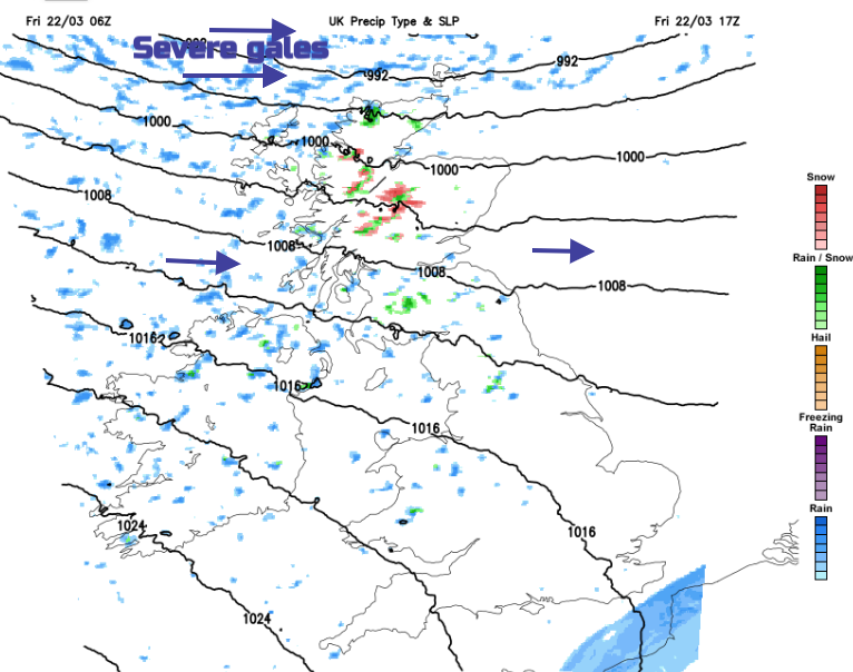
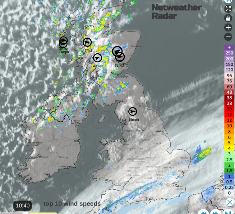
There will be westerly gales, even severe gales for the far north of Scotland and the Islands. The fresh to strong westerly winds could make the Friday evening commute tricky, especially for exposed routes, bridges and ferry crossings in the north.
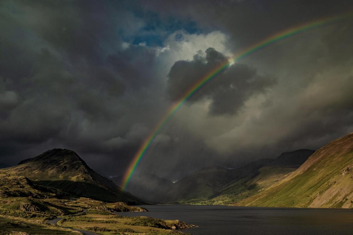
The showers will mostly be of rain but over higher ground they will turn icy and to snow over the mountains. It will feel colder everywhere than at the start of this week.
A few sleet and snow showers will pass over Northern Ireland, spreading into southern Scotland and the hills of northern England.
A few of the showers will have reached Wales and the Peak District, again with wintriness mixed in. They continue to feed into the Midlands and West Country but with brighter spells in between. Watch out for sudden passing downpours of rain, with icy hail and gusty winds. They will reach southern areas in the middle of the day with some lively downpours. Eastern areas will be a bit more sheltered, even seeing some sunshine. It will be a mixed day, some places escaping the showers, others feeling cold and wet.
There will be bands or clusters of showers with one area affecting Grampian and the Northern Isles by Saturday evening with strong to gale force N/NW winds. Elsewhere it will become drier but still with a cold breeze.
It will feel cold in the breeze on Sunday morning but the day looks fine and bright. Most of the UK will be dry with a fair second half of the weekend. Just worth staying out of the wind first thing but it could be a good day for getting the laundry dry.