


Much colder Arctic air is on its way by the end of the weekend. Before that, there will be a good deal of fair weather. However next week sees more widespread frost, cold by day and snow for some.
It will feel much colder by the start of next week. Cold Arctic air is set to plunge its way down through the UK with more widespread frost and the risk of ice. For many, there will be a lot of dry weather in the coming days with high pressure nearby. However, there is still so much surface water ready to freeze. The Environment Agency still has flood alerts and warnings in parts of England, particularly the south with high groundwater levels and concerns along the River Thames.
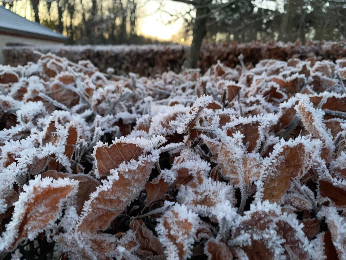
Northern Scotland has seen overnight frosts and freezing fog by day, making it very icy. There will be more of a breeze tonight in the far northwest so other areas will see the lowest temperatures for Friday night. Northern England, inland Wales, the southwest of England and County Down will all have light winds and temperatures dipping just below freezing.

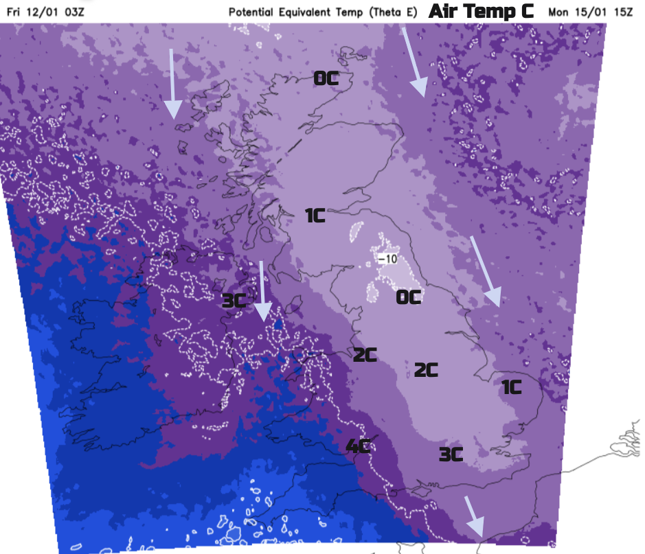
A cold front will topple in from the north during Friday night, hence the increase in wind strength but fades as it moves down through the UK on Saturday. Another frontal band is marked on the surface pressure charts (as an occlusion) for Saturday night and then trough lines in the flow for Sunday. The real cold air will reach the Northern Isles on Sunday morning and take hold across the UK by Monday. The fronts show where increased precipitation is forecast, the troughs inferring that there will be clusters of showers in the flow and by Sunday that will be of snow for Scotland.

Saturday will be a fair day with bright spells although thicker cloud from the fading fronts. There will be a little patchy rain for Northern Ireland and around the Irish Sea at lunchtime from the cold front, showery outbreaks in the far north as the occlusion arrives. It will feel cold in the south with temperatures of only 3C but hardly any wind.

During Saturday night, showery outbreaks of rain will edge southwards over Northern Ireland and Wales. By Sunday, there could be sleet or wet hill snow mixed in these but it will be over northern Scotland where the snow showers will appear. There will be more in the way of sunshine on Sunday away from the showers but the air will be turning colder.

Northern Scotland will see snow from this feed of showers from the north. Some snow showers will manage to reach the northern counties of Northern Ireland and Snowdonia. Depending on how the winds veer or back slightly, these showers could flow across Northern Ireland to western Wales and Cornwall, perhaps Devon. If the flow is a true northerly it will be eastern England seeing some showers. The North Yorkshire Moors and north Norfolk could see snow early on Monday but it won’t last and there will be lots of deceptive sunshine. The air from the Arctic will be here.
The big forecasting questions for next week are when and where will frontal bands move in and hit that cold Arctic air. If this does happen it would result in more widespread, potentially disruptive snow. The cold northerly flow on its own will bring the usual wishbone-shaped feed of snow showers, focused on northern Scotland and exposed coasts on either side of the UK. There could also be occasional trough lines bringing heavier bands or clusters of snow showers southwards too. A colliding Atlantic low pressure would be more dramatic if it came up against this chilly setup. Stay tuned.
Will it Snow?
Winter discussion and chat in the Netweather community forum


.jpg?w=350)


.jpg?w=175)