Cold next few days, but the damp weather easing to drier and sunnier weather on Wednesday. However, wet and conditions will arrive Wednesday night and prevail through Thursday easing to showers on Friday. It will turn milder later in the week though.
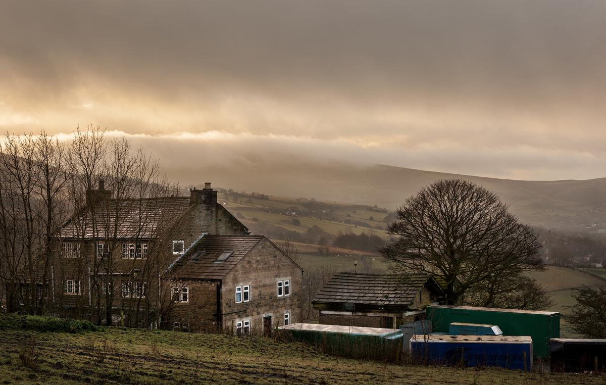
An area of low pressure moving slowly over southern England during Monday brought a cold, grey and wet day yesterday for many – with snow over northern hills. A slow-moving front across the southwest brought a persistent band of rain across parts of west Dorset, east Devon, Somerset and SE Wales - which brought 45-75mm of rain, though locally 84mm was recorded in Beaminster in Dorset. This has led to a number of flood warnings across SW England - with a risk of flooding to properties near rivers.
The low pressure system is still bringing grey skies and rain to large parts of England, east Wales and SW Scotland this morning and the rain will gradually clear eastwards across England through the day. Turning cold and frosty tonight under clearing skies, which will lead to a chilly but drier and brighter Wednesday – as a ridge of high pressure builds in. However, tomorrow will be a brief dry and bright respite, as wet and windy weather arrives across the west tomorrow evening, before clearing east across Britain on Thursday. Friday looking like a windy day, with sunny spells and showers towards the south and west. The weekend looks to see further spells of wind and rain crossing Britain from the west. However, from Thursday it will turn milder, as southwesterly winds bring in milder air.
After a cold first half to this week, turning milder from Thursday across all parts

For now, a grey and damp start across large parts of England and Wales. It’s been a wet night across central and northern England along with southern Scotland, snow rather than rain has been falling over higher ground in these areas too. Persistent rain across SW Scotland, northern England, Midlands and east Wales will turn more showery this morning before easing southeastward. Southern and eastern England remaining grey and damp for much of daylight hours, with patchy outbreaks of rain or drizzle. Becoming drier and eventually brighter across Wales, northern and western areas of England, though some showers around western coasts. Scotland and N. Ireland will have a mostly dry and bright or sunny day after a cold and frosty start, though there will be wintry showers towards the coasts of eastern Scotland. Temperature below average on the whole, reaching 6-8C across England, Wales and N. Ireland, 3-4C across Scotland.

Skies will clear tonight away from the far west, leading to a widespread frost along with some freezing mist and fog patches forming across southern areas. More in the way of cloud and strengthening winds across the far west preventing a frost.

A cold and frosty start for many away from the far west on Wednesday and it will be a cold and sunny day for eastern areas, tending to turn cloudier and less cold across western areas with increasing wind, rain arriving from the west across N. Ireland and perhaps SW Scotland before dark. A raw day across Scotland and eastern areas of England, with temperatures reaching 3-5C at best, across the west reaching 6-9C.
All change Wednesday night and through Thursday, as weather fronts sweep in from the west ahead of a deep low approaching the west of Ireland. So winds will pick up and outbreaks of rain will spread east across most areas during the early hours of Thursday, turning to snow for a time over Scottish hills and over the northern Pennines. Just as the first band of rain clears east another swathe of rain looks to sweep northeast during Thursday, accompanied by squally winds, with gales around western and southern coasts. Drier and brighter but windy conditions following – with showers towards western coasts. It will turn milder for most though, temperatures reaching high single figures in the north and east, double figures towards the west.
Friday is looking like a showery day across England and Wales, as an area of low pressure tracks southeast, though there could be some sunny spells between showers. After some showers to start in the south, becoming mostly dry and bright or sunny across Scotland. A milder day across the board – temperatures reaching 8-11C.
The weekend looks to remain changeable but milder than of late. A band of rain looks to spread north and east across Britain during Saturday, followed by brighter but windy conditions, with showers towards western coasts. Then after a dry and bright morning, Sunday may see another spell of wet and windy conditions spread north and east across all parts, followed by brighter conditions, with showers in the west, could be some gales – as a potentially deep low crosses the country, though too far out to know the track and depth of this low.