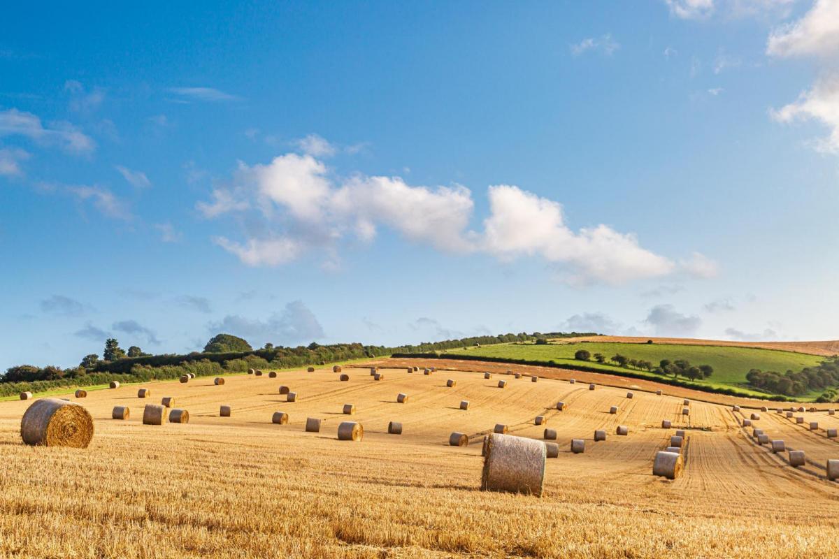
Yes, things are hotting up. The UK weather will settle down through the weekend and next week temperatures will lift into the high 20s even low 30sC. It's the first day of autumn too.
High Pressure will be over the UK at the weekend bringing light winds and more settled warmer weather to many areas. Next week looks even warmer, but of course, the schools are going back. There will be a frontal band with rain from the far northwest where it will be more windy and another front lurking over northern France.
The high doesn't mean clear blue skies, sunshine and heat but we will see temperatures widely into the low to mid 20sC on Saturday. Sunday will be warmer with 25 to 27, even 28C possible for some.
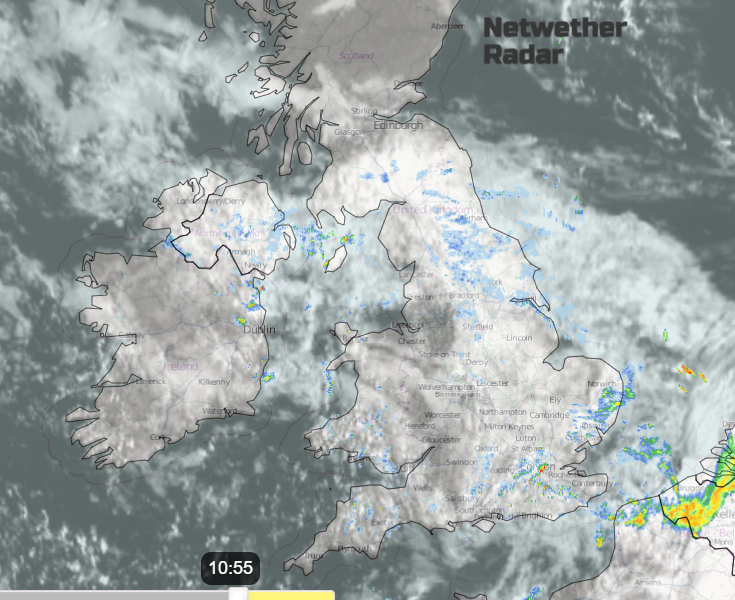
After today’s scattered showers, there is a trend during the weekend towards drier, fair weather. Scotland will have bright or sunny weather to start Saturday, although with a nip in the air. There will be thicker cloud further south linked to a fading occlusion. This could bring damp weather to eastern Britain on Saturday morning and a few showery outbreaks through the day over southeastern Britain. Some areas will start off grey even murky but the low cloud will thin and lift. Generally, Saturday becomes fine and bright by the afternoon with light winds.

The cloud cover and breeze will increase for northern Scotland by Saturday evening with rain arriving from frontal bands that link to a low close to Greenland. This rain will cover the Scottish Islands by dawn on Sunday.

It will remain breezy in the far north, but elsewhere there will be a quiet start to Sunday with mist and fog in places. There will be more cloud for Northern Ireland, the frontal band still over the far north of Scotland and grey, damp weather for the west coast. Elsewhere it will be a fine, warm day

Much warmer air showing on the Thickness charts
Next week looks even warmer. Of course, more UK schools will be returning after the summer break so we should all expect the weather to take a summery turn. Even if we are now into meteorological autumn.

The weekend high pressure tilts away over the North Sea as Hurricane Franklin becomes post-tropical and the remnant low helps a push of warmer air, over the Atlantic. There will also be a flow of very warm continental air from Iberia towards the UK. Temperatures will rise with 30 to 32C showing as the upper limits by midweek. Franklin passed by Bermuda; it was Hurricane Idalia that hit Florida.
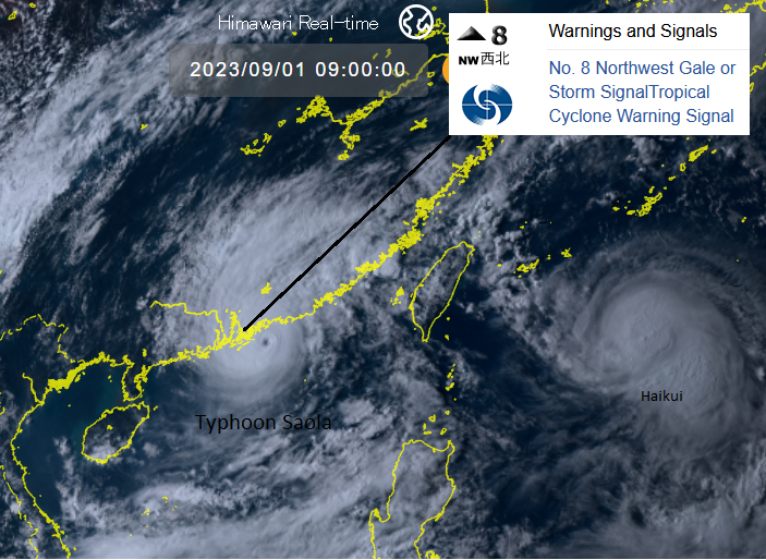
Hong Kong is awaiting Typhoon Saola today. Schools have closed, flights are being cancelled and emergency shelters are open. The Hong Kong Observatory has a No. 8 Northwest Gale/Storm Signal in force which relates to mean winds 63 km/h or more being expected from NW quarter. The Met service is “Considering Increasing Gale/Storm Signal No.9 tonight.”