A brief flirt with much warmer and humid conditions Friday & Saturday, perhaps reaching 29-30C, before a thundery breakdown brings cooler and fresher conditions by Sunday. Showery and on the cool side for July next week.
After a fresh and blustery week, with rain at times but also some sunshine, heat and humidity looks set to build over the next few days. It will be a little warmer than recently in the sunshine today, with less cloud and lighter winds away from the far west – where wind and rain will arrive. Then tomorrow and Saturday the heat will build, as the wind switches from a southwesterly to a southerly flow, pulling in warmer and more humid air from the near continent.
Temperatures tomorrow could reach 28-29C across central, southern and eastern England. We could see 29-30C briefly on Saturday across eastern England ahead of a thundery breakdown that will be moving in from the west through the morning, with storms breaking out in a line moving north and northeast across the UK through the day. Then it's looking cooler and fresher on Sunday, but still with a risk of some heavy and thundery downpours. Then next week, low pressure looks to move in from the west off the Atlantic and stay put close by, bringing spells of rain or sunshine and showers, a cool feel in brisk westerly winds.
Briefly turning very warm or hot over next few days, before a thundery breakdown from the west introduces cooler and fresher condtions by Sunday:

For now, high pressure building on the near continent will bring a mostly fine and dry day with sunny spells across southern, central and eastern areas of England through the day. Wales, northern England and Scotland will be generally cloudy with some well-scattered showers, but also some glimpses of sun. Meanwhile, thicker cloud and outbreaks of rain, locally heavy, and strengthening winds will spread northeast across the island of Ireland through day, perhaps reaching SW Scotland early evening.

Temperatures reaching 20-22C where we see some sunshine across England and east Wales, 17-19C across Scotland, west Wales and far SW of England. Perhaps only 16C in Belfast with the rain. No interruptions expected from rain today at Wimbledon, but a rogue light shower can’t be ruled out as cloud builds.
Rain, locally heavy, over the island of Ireland will spread northeast across Scotland and the far north of England this evening and overnight, accompanied by strong winds. Elsewhere, a mostly dry night with clear spells over central, southern and eastern areas – but turning increasingly breezy.
As one area of low pressure to the west of Ireland moves north today and another moves north to replace it tomorrow, the wind will back to a more southerly flow on Friday, pulling in a very warm and humid flow from the near continent. So tomorrow will be hotter day in the sunshine across much of England and Wales. Cloudy morning with some patchy rain across Scotland, N. Ireland and far north of England, but rain tending to fizzle out and skies brighten from the southeast during the afternoon. Temperatures across England and Wales reaching 25-28C, perhaps 29C across eastern England. Across Scotland and N. Ireland reaching 20-22C, cooler in the northwest of Scotland.

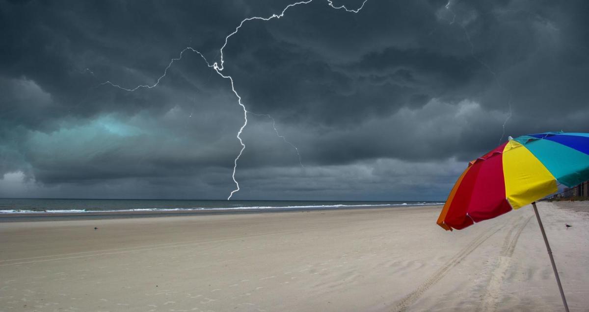
Warm and humid air continues to waft north during Saturday morning across mainland Britain, but a fairly deep area of low pressure for the time of year close to the west of Ireland will push a cold front north and east through the day, with thunderstorms develop ahead of the front quite widely. Exact timing and location of the storms is a little uncertain, but where you catch one, you may experience torrential rain, gusty winds and frequent lightning. Ahead of the storms, we may reach high 20s, perhaps even 30C across eastern England early afternoon. Drier and sunnier conditions following the storms and cold front, but feeling cooler and fresher.


Sunday will be cooler and fresher for all, some sunny spells, but the weather models also suggest heavy and thundery downpours spreading northeast across parts of the UK, exact timing and location uncertain this far out, but we may see one area of heavy rain and thunderstorms move northeast across SE England and East Anglia in the afternoon, while heavy showers or thunderstorms spread up across western then northern areas of Britain. Some sunny spells in between these areas. Still warm in the east, perhaps up to 24C, low 20s or high teens elsewhere.
Then next week is looking rather cool, changeable and unsettled, with low pressure close to Ireland to start the week, bringing a showery southwesterly flow, moving northeast across northern Britain through the week, introducing a cooler but still showery westerly flow. Showers will be heavy in places with some thunderstorms amongst them too. Some sunny spells too between showers.