A spell of cold weather is on the way into next week, with a noticeable drop in temperatures and the threat of snow for parts of the UK.
Winter 2022/23 was relatively mild, though with two significant cold frosty spells (one in early to mid-December, one in mid to late January) that brought snow for some. That's not the end of the wintry story, though, as we're expecting a major cold spell to set in into next week.
It won't be anywhere near as cold as the record-breaking "Beast from the East" in late February and early March 2018, with maximum temperatures generally around 5C rather than 0C for most of next week.
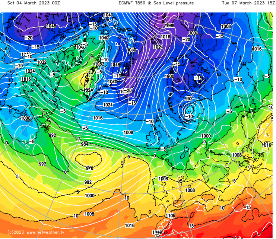
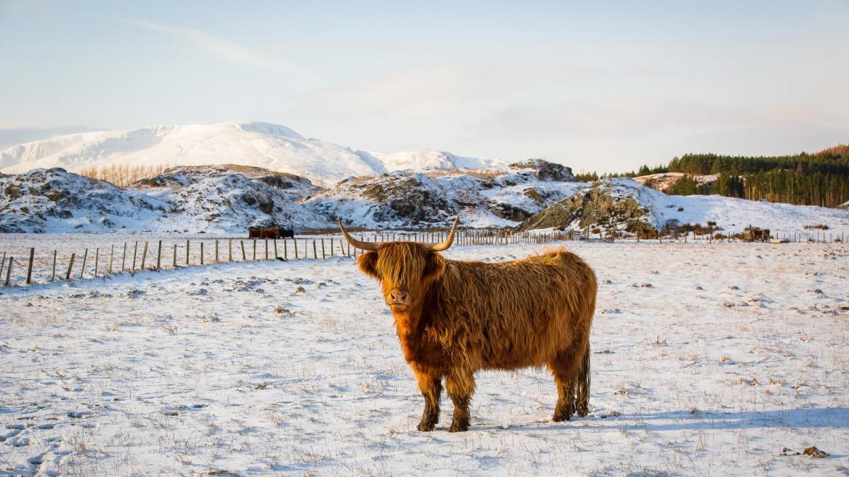
Nonetheless, there is considerable potential for many of us to see some snow, and possibly rather more widespread snow than we've seen during the previous two cold spells during the winter.
It's worth noting that snow is far from unusual in most parts of the UK in early to mid-March, though with the stronger sun at this time of year, it typically needs to accumulate to substantial depths and/or to be accompanied by a lot of cloud for it to stick around on the ground for long. These conditions may well be met at times next week in some regions, particularly in northern Scotland and in the areas of Wales, the Midlands and/or southern England that lie on the northern flank of frontal systems pushing in from the south-west.
With extensive cloud cover, temperatures will hold up tonight in most parts of the country, generally falling no lower than 2 to 4C, but where skies clear (most likely in western areas and in central and southern Scotland, temperatures will fall close to freezing, resulting in some frost.
Sunday will be another cloudy day, and light showers will break out rather more widely than today, affecting most of the country, although some places will remain dry. As colder air starts to come down from the north, the showers will turn wintry on high ground, especially in the north, but will stay mainly as rain at low levels.
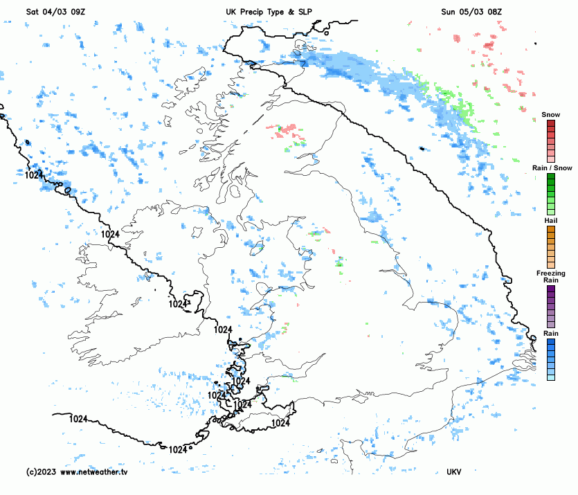
Temperatures will be about a degree down on today's in most parts of the UK, reaching between 5 and 8C. Some outbreaks of rain, with snow on high ground, will spread southwards into northern Scotland late in the day.
On Monday, we will see much colder air spreading down from the north. A band of rain, with snow on high ground and sleet or snow increasingly penetrating to low levels on its northern/back edge, will spread southwards through the country. This will be followed by much colder, brighter weather with snow and hail showers, particularly around north and east-facing coasts and in northern Scotland.
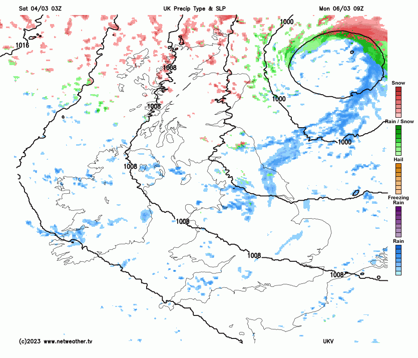
It will be relatively mild to the south of the southward-moving frontal system, with much of England and Wales reaching between 8 and 10C, but in the colder air in Scotland and Northern Ireland, highs between 4 and 6C will be typical.
There is some uncertainty over precisely how far south the cold Arctic air mass will penetrate into Tuesday. Confidence is high that it will spread as far south as the south Midlands, East Anglia and south Wales, but the far south of the UK may hold onto relatively mild weather. So, it looks set to be a cold, bright day from the Midlands northwards, with some snow and hail showers near north and east-facing coasts and a scattering of snow showers also developing inland.
Southern England and south Wales will be cloudier, and there is potential for more organised precipitation to develop, with rain near the English Channel coast but snow on the northern flank. Temperatures will mostly reach between 3 and 6C, but there is potential for it to be warmer than that near the south coast.
Into the middle to the latter part of next week, some significant snowfalls are possible in the southern half of Britain as frontal systems push in from the south-west and collide with the cold Arctic air mass. Rain is most likely in southern coastal counties of England, but on the northern flank of these systems, precipitation is likely to fall predominantly as snow. Scotland, Northern Ireland and northern England are expected to remain cold and sunny, with some snow showers for northern Scotland and some scattered snow showers breaking out elsewhere during the daytime.