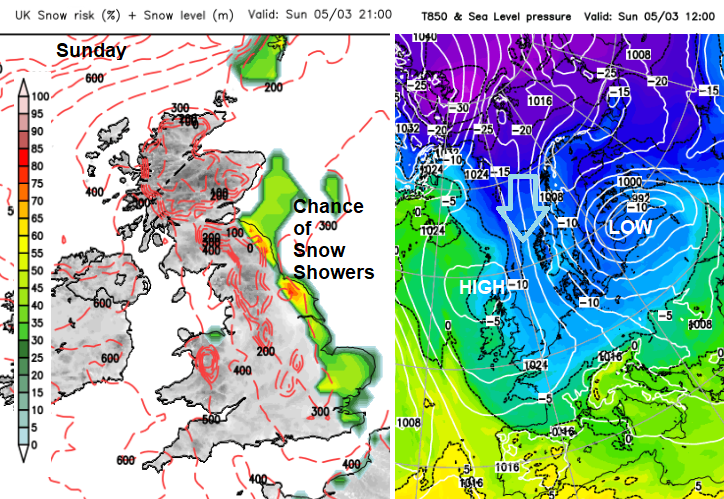
There is a chance of another view of the Aurora tonight, the Northern Lights, if the cloud cover allows. High pressure stays nearby this week bringing more of the same. However, as a deep low pressure develops over the Baltic Sea, the cool northeasterly wind will back to a northerly. Colder Arctic air will then reach down through Scandinavia, into Germany but also down the North Sea. By the end of the weekend, this could bring snow showers to northeastern Britain.
The high pressure has brought settled dry weather to much of northern and western parts of the UK. Northern Ireland has been dry and western Scotland sunny. Eastern Britain has seen more cloud feeding off the North Sea in that chilly, damp NE wind. This brought rain showers. Those showers extended further inland on Monday morning, reaching across to Wales and the West Country.
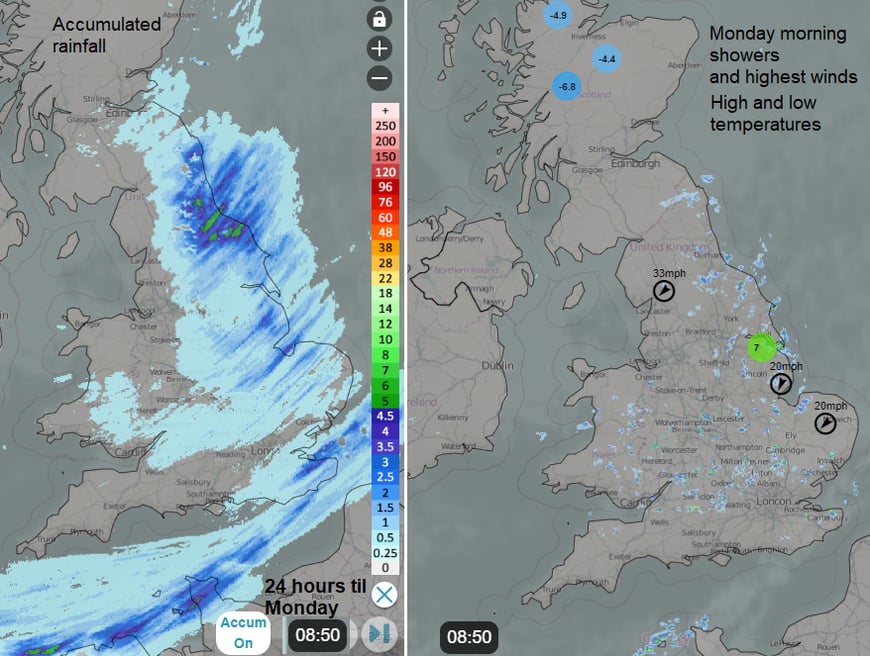
The Radar accumulation image showers 24 hours of rainfall totals mostly affecting eastern England. These are showers brought in from the northeast on the flow around the base of the high pressure. There will be more this week.
The wind off the sea is fresh in places and with the dampness in the air, it really is making the start of the week feel chilly along with the grey skies. The wind will play an important part in how each day feels this week. If you are checking out a weather app, do look at the wind speed and Feels Like temperature. It will make quite a difference. For example, Whitby will see 7C but feel more like 3C.
The Channel Islands have also seen showers but this is more remotely linked to very unsettled weather in the Mediterranean. At the weekend there were low pressures over Italy with rain and windy weather for the Alps. And enough influence to create a convergence zone with showers along the English Channel.
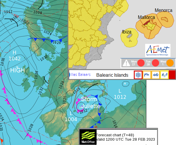
For those who have holidayed in Mallorca/Majorca or Menorca in warm sunshine, you’ll be glad not to be there this week, The Balearic Islands see a Mediterranean low move closer bringing strong gusty winds, heavy rain and also snow. This has been named Storm Juliette by the southwest naming group. There is a red warning from AEMET (Spanish Met Service) for the north of the island of Mallorca where there are spectacular mountains.
Here in the UK, there was a cold frosty start for some parts with temperatures down below -8C. It all depended on the cloud cover, with more of the clear skies being over western areas than closer to the east coast. Those with clear skies overnight enjoyed a stunning Aurora display. There have been many incredible photos of bright greens and reds with views, even in southern England to end the weekend.
There is a chance to see the Aurora again tonight (Monday) although Sunday’s show was quite spectacular. There is already a lot of cloud about, and it is stubborn low cloud, which will disappoint those in some areas. If you want to have a look, wait til after 7pm so that it is properly dark, 9 or 10pm could be a good time slot.
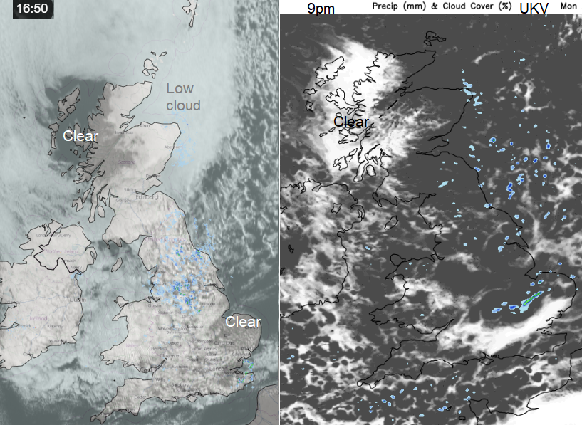
Tuesday sees light winds and bright or sunny spells again for western Scotland and Northern Ireland. The rest of Britain will feel the nippy north or northeast breeze and that wind will again feed in showers off the North Sea. A line of heavier showers looks to move out of northern France towards Kent later in the day. More showers reach across southern Britain after dark towards SW England and Wales during Tuesday night.
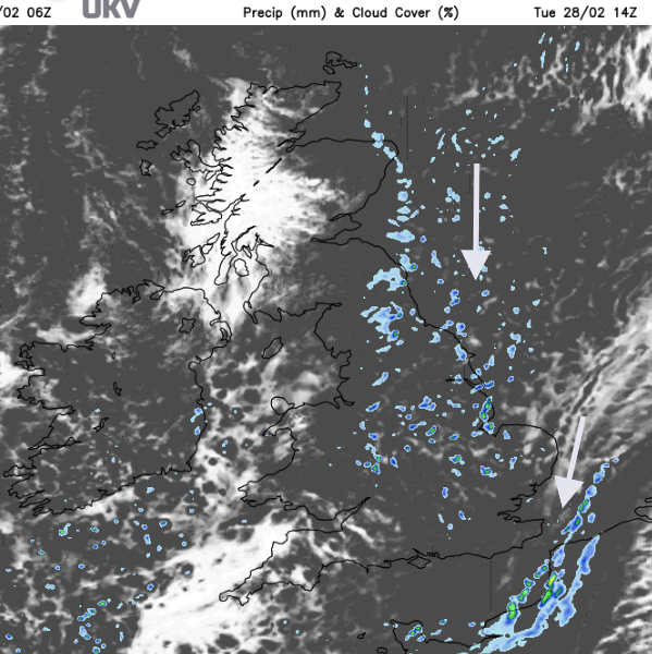
By Wednesday morning there should be more sunshine over southern England but still a nippy east wind. The scattering of showers could bring a slight covering of snow to the tops of any mountains that they encounter.
As the week progresses the grey damp feed off the North Sea remains, blighting NE England and the Yorkshire coast. Where gaps appear in the cloud, temperatures will again fall to zero or below with frost and a slight risk of ice where the showers have been by day.
Friday will have a chilly start with frost and any precipitation will be more icy but there should be welcome sunshine for those eastern areas that have been stuck with grey cloud all week.
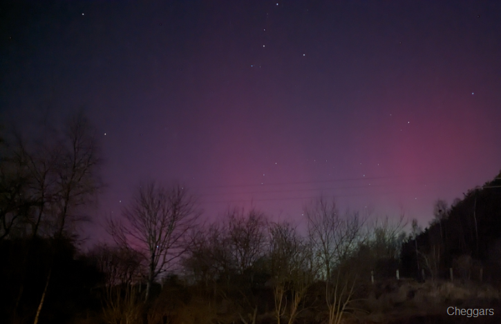
Aurora from the Netweather community forum by Cheggars in central Scotland
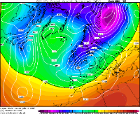
A cold front looks to arrive from the north to start the weekend. Behind this will be the Arctic air and wintry showers for northeast Britain. The winds look lighter for Saturday and hopefully, some sunny spells will appear. We’ll have to wait to see how the flow down the North Sea develops and if it does bring snow flurries right down the east coast to Norfolk by Sunday evening. Early next week looks more promising for a feed of snow showers from the north but even that might not last beyond midweek.
Nice run gfs , but it’s all outside reliable time period, really will be nice to wind some cold in to reliable time and see essembles going cold! Until that happens I won’t be getting excited
53 minutes ago, andymusic said: Once again the GFS 12Z SPELLS IT OUT, BEAST FROM THE EAST PLUS LOWS COMING UP FROM THE SOUTH WEST, EQUALS HUMUNGOUS AMOUNTS OF SNOW When be this happening @andymusic ?
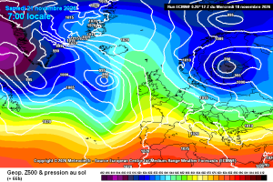
ECM slightly more amplified early on,with the initial ridge!
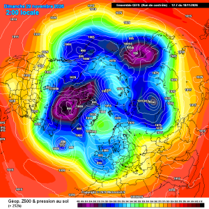
Control 12z trying
6 minutes ago, SteveB said: Didn't the models show something like that for the last cold spell, just gone. Turned out to be snow for further north and east, in the end. Models are showing usual nirvana 10 days out. Reality is nothing like that....
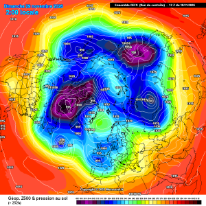
Control is trying its best