The weather is on the turn as high pressure begins to dominate, bringing an end to the run of unsettled conditions that continued through much of November.
It's surprising how often a change of month can bring a change of weather, with things definitely on the turn now. The good news is that as winds turn into an easterly quarter over the next few days, it'll drag air off the continent, bringing somewhat drier conditions. But the bad news is that with it will come a drop in temperature and a raw feel, with a subsequent effect on our heating bills.
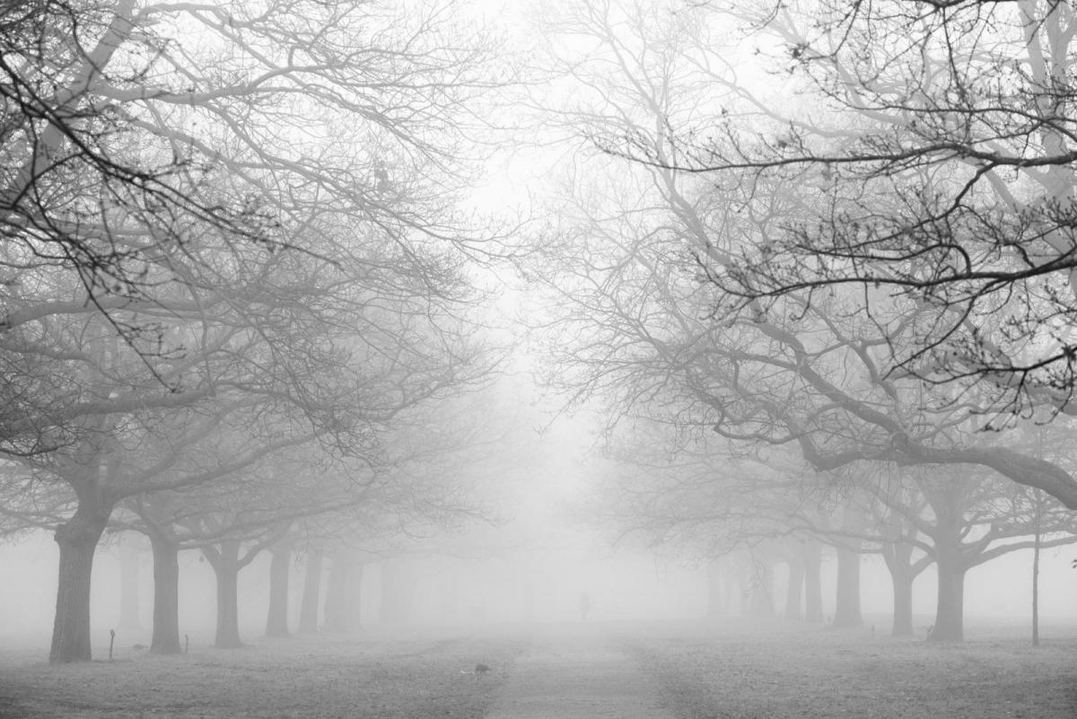
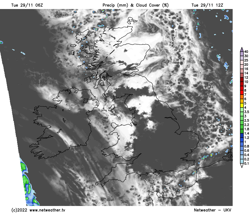
You won't notice much of a change today, as it remains damp, with extensive mist, patchy fog and low cloud this morning, especially across central and eastern areas, the South West, Northern Ireland and Dumfries. The fog will linger in places like the Vale of York, simply lifting into low grey cloud for some. But across parts of Scotland, Wales and in the West, in particular, the sun will come through to cheer things up a little. It'll also be mainly dry, apart from the odd shower in the far West and over Kent at first.
A slack pressure regime will ensure mostly light winds across the country, with a touch of frost, mostly over Scotland, where skies have stayed clear overnight. Where the sun comes through, it'll become mild, with temperatures reaching 8 to 11C, but where the gloom persists, just 5 to 7C will be a little below par for late November.
After dark, any showers become confined to the West of Northern Ireland. It'll be misty generally in light winds, with patches of locally dense fog and areas of the very low cloud becoming extensive. This could be thick enough to produce a little light rain or drizzle in places in an otherwise mainly dry but damp evening and night. Pockets of frost will form again in rural parts of the North and West where skies stay clear, but temperatures, on the whole, should remain above freezing, with minimum values mainly in the range of -1 to +5C.
Tomorrow brings similar conditions, with a lot of mistiness, gloom and patchy fog across the country. But as pressure slowly rises and an East or South Easterly breeze develops, the fog should lift a little, although still with a good deal of cloud, mist and murk about.
Apart from some patchy rain or showers across Northern Ireland, most places will be dry, with the sun coming through later, most likely in the South, West and over parts of Scotland. Temperatures should reach a relatively mild 8 to 11C again, where you see some sunshine, but in the gloom, 5 to 7C is more likely, making it feel chilly in any breeze.
After dark, a southerly breeze keeps things milder across Northern Ireland and the Western Isles, where despite some rain or drizzle, temperatures shouldn't fall below 5 to 8C. Elsewhere it stays dry but with mist, patchy fog and areas of shallow cloud reforming again in just gentle breezes. There'll be another touch of frost where skies clear, with lowest temperatures mostly between, say, -2 and +5C.