A surprising number of snow stories headlining under UK weather on Monday considering that the flow looks milder and blustery with rain from the west.
It was a surprise on Monday to see so many UK snow stories being published. This week sees a blustery southerly flow with temperatures in SE and eastern England moving into the mid-teens, maybe a touch higher for London by Thursday or Friday. With bands of rain edging in from the Atlantic, there will be a bit of snow over the Scottish mountains on Tuesday night again on Wednesday but that is about it. Maybe some icy hail in the heavier showers at the weekend. It's not the stuff of snowman building or sledging.
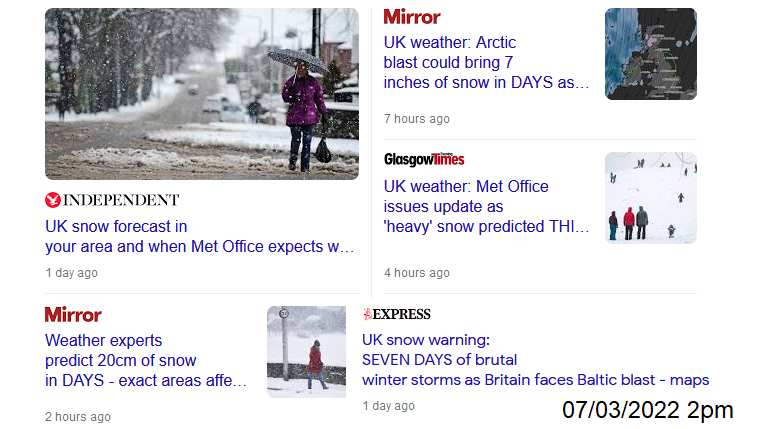
Last week there was some uncertainty about cold air moving around high pressure over Europe and whether that could pull across to the UK, bump into an Atlantic front and produce some early March snowfall on a band of rain. This wasn’t definite snow for the whole of the UK. No-one mentioned 20cm or 7 inches (18cm) of snow. The Met. Office didn’t “expect” or “predict” heavy snow.
As the forecast firmed up through the weekend, it is the Atlantic having more say. The high pressure will slip away over Poland then the Baltic States, not sit over Norway/Sweden. As a result, the flow of much cold air stays further east in Europe. Without that colder air, the only UK snow will be over the tops of the mountains.
So, the large selections of brutal cold, heavy snow stories to start the week were a bit odd. "Seven days of brutal winter storms as UK faces Baltic blast"?
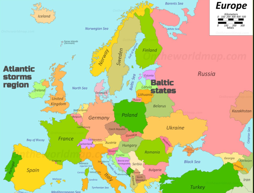
Now that cold air is restricted to eastern Europe, including reaching down to Ukraine.
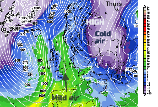
The synoptic picture is rather complicated with a series of low pressures feeding up from the SW, a waving front midweek and then another incoming Atlantic low. What this all suggests is rain from the west, strong winds and an ongoing feed of milder air from the south. Cooler air does move over Northern Ireland and Scotland during Wednesday night with a frost once more. Ahead of that, it is still mild. Thursday could see temperatures, particularly for SE Britain pass 15C. London might see 17C. It’s not anything special, back in late Feb 2019 temperatures reach 21.2C but it would be a change. On Monday the air temperatures were just 5 to 8C across the UK, this is much milder.
This narrow band of milder air might be a bit further east or west but mid-teens temperatures are forecast from Thursday into Friday and even Saturday. Although there will still be a blustery southerly wind. Spring continues after a milder than average February, and winter, for the UK and Europe.