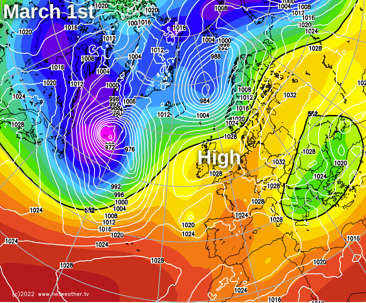
High pressure is trying to play more of a part in the UK's weather currently but there'll be hiccups along the way, and the overriding picture stays mixed.
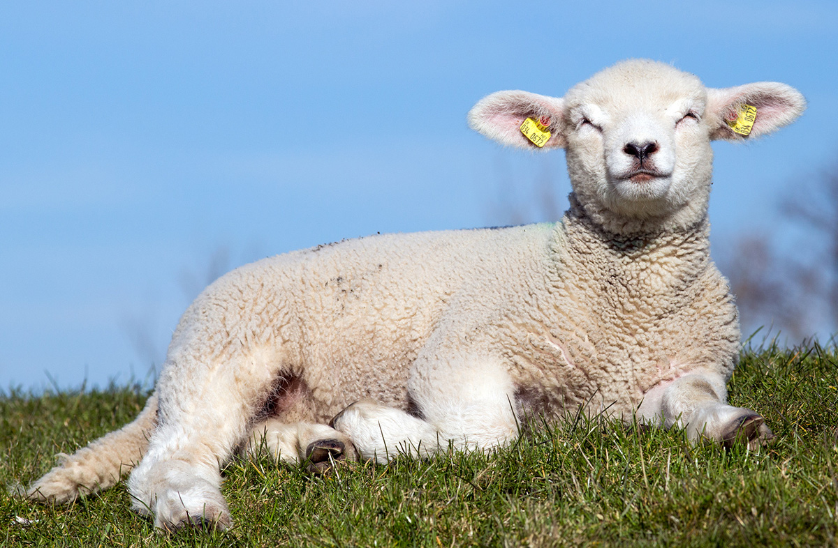
It's been a mild winter with a provisional mean average central England temperature more than half a degree Celsius above the 1991/2020 norm. February, in particular, has been strongly Atlantic driven. Still, we're beginning to see signs of a change now, with a rise in pressure making it more spring-like over the past few days, especially across England and Wales. After a brief 'hiccup' from West through tomorrow, much of the country becomes finer and drier again into the meteorological spring, with March coming in 'like a lamb' rather than 'a lion', but it's unlikely to last.
After a cold start in eastern areas with a slight frost in places, much of the country is set for another fine day. There'll be long sunny periods, with even Tyrone, Fermanagh and the West of Scotland joining in after a cloudy, drizzly start. Although the rain returns to much of Northern Ireland and western Scotland later. A South-East or southerly wind will be moderate or fresh though even strong in the West, where there'll be gale-force gusts in exposed areas. Despite feeling chilly, it'll be pleasant enough out in the sunshine, with top temperatures of 8 to 11C close to normal for the time of year.
Apart from a few showers down the spine of the country later in the night, the eastern half of England continues mainly dry after dark. Clear spells may allow another touch of frost across East Anglia and the South East, while cloud increases elsewhere. This'll bring some rain to Scotland and many western parts where there'll be heavier bursts, with the rain clearing to scattered blustery showers across much of Northern Ireland before morning. A southerly wind somewhat lighter in the East continues to be fresh or strong in the West. Here temperatures shouldn't fall below 6 to 8C, but in the East, 2 or 3C will be nearer the mark.
The new working week begins dry and bright towards East Anglia and the South East, but most of England and Wales see some rain or at least a shower before the day is out, as a front works its way steadily from the North West. After some rain at first over Scotland, clearer skies over Northern Ireland move in to give some sunshine here., but there'll be some showers, mainly in the North and West. Here temperatures should reach about 8 or 9C, with a milder 10 to 12C expected across England and Wales. A moderate or fresh at first South or South Westerly wind will decrease.
Apart from a few showers over Highland and Northern Scotland, Northern Ireland and much of northern England see clearing skies after dark. A lighter Westerly breeze may allow it to turn cold enough for a touch of frost in a few sheltered eastern areas, with the lowest temperatures mostly between 0 and 4C. Elsewhere you'll keep a lot of cloud giving patchy rain as a front becomes slow-moving. This could allow small ripples to run along it to provide perhaps a few heavier bursts of rain across southern England. But winds will be lighter, with temperatures here not falling below 5 to 7C.
After some sunshine on Tuesday and Wednesday, mainly in the North, the rest of the week has an unsettled look about it. There'll be some rain or showers, but with winds from a southerly quarter later, it should end up on the mild side.