High pressure is nearby to the west, but not close enough to stop low pressure from getting involved in the UK's weather at the moment. That means a mix of conditions day to day, and some forecasting headaches.
Ridges of high pressure towards Great Britain from the Azores anticyclone can lead to some of our best summers. But, if the ridge is to the West, as we have now, sometimes linking with high pressure over Scandinavia, it often leads to forecasting headaches. While the best weather is usually reserved for the North and West at these times, elsewhere, it opens 'the door' for continental depressions to affect the East and South. Slow-moving lows can also form, often bringing sudden changes, particularly in temperature.
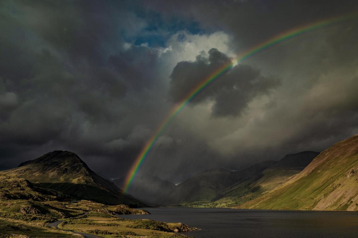
We currently have a complex area of low pressure forming just to the South of our shores that'll remain for several days. This has brought chillier northerly winds and, as a result, brought a dramatic drop in temperature to the North East, with 26C at Kelso yesterday down to 12 or 13C today.

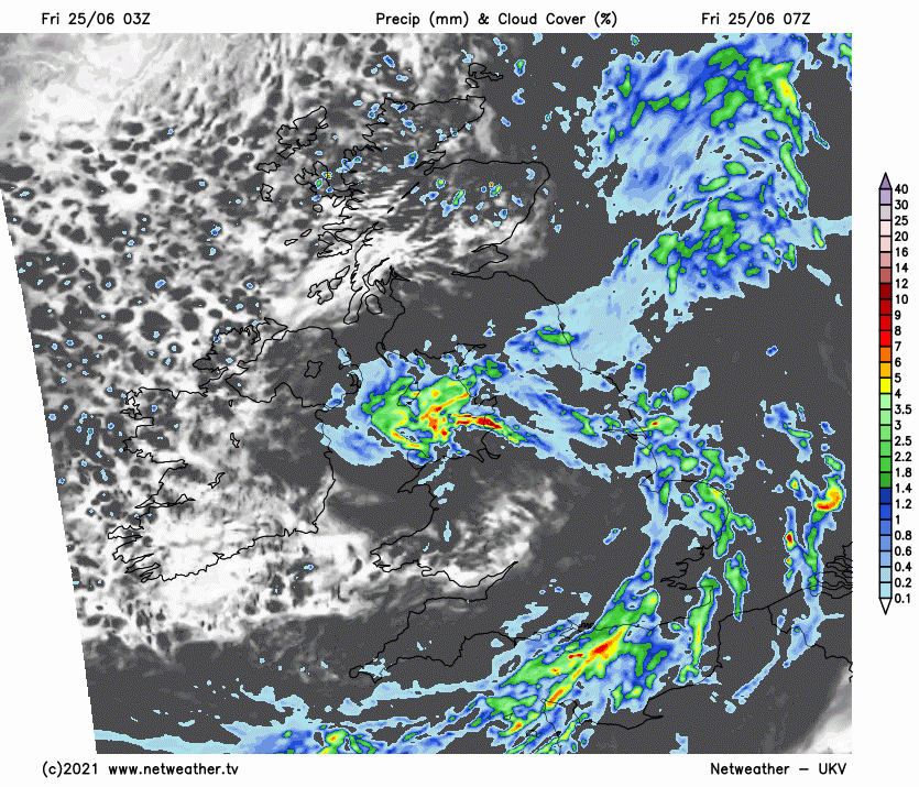
A cold front will bring rain to East Anglia and the South East this morning before clearing to leave sunny intervals and isolated showers. Much of northern England is also quite wet, but this'll fragment into showers in a cloudy day here. The East of Scotland sees showers, while further West and across Northern Ireland, it'll be mainly dry with sunny spells. Remaining areas see a scattering of showers that could turn heavy and thundery across parts of Wales, the West Midlands and the West Country. Top temperatures will range from 12 to 16C in the North and 18 to 20C in the South, making most parts noticeably cooler than yesterday.
The evening and night see a similarly mixed bag, with cloud over northern England and East Scotland giving further showery rain in places while further South, scattered showers could be locally heavy, giving thunder in places at first. There'll be some clear intervals, though, especially over Northern Ireland and West Scotland, where it should be mainly dry. A chilly North wind is light in the South, but temperatures shouldn't fall below 6 to 8C in the North and West and 10 to 13C elsewhere.
While Down, Armagh and The Borders may see more cloud and some mostly light showers, a ridge of high pressure should keep the remainder of Northern Ireland and Scotland mainly dry with sunny spells. But Saturday over England and Wales will be a different story. Here a mixed bag of weather will bring showers and a lot of cloud to northern England. Elsewhere sunny intervals will only serve to 'trigger' some sharp showers that may give local thunder. Winds will be light in the South but from a northerly quarter elsewhere, with top temperatures mostly in the range 14 to 21C.

While the North and West of Scotland and Northern Ireland may see cloud bringing some rain overnight, much of the North should have a mainly dry evening and night with clear spells. Light winds could allow it to turn quite chilly in places, with the lowest temperatures mostly between 5 and 8C. But across particularly the southern half of England and Wales, it remains more cloudy and unsettled with further showers. Here though, it'll be milder in a mostly light North or North Easterly breeze, with temperatures generally not falling below 10 to 13C.