An update on the snow affecting eastern parts of Britain today and early part of next week.
Stormy Darcy, an area of low pressure centred over Belgium late morning, will feed a band of snow around its northern flank southwest across SE England and East Anglia over the next 12 hours or so, bringing some significant accumulations by Monday morning across parts of Kent and the eastern side of East Anglia. As this area of cloudier skies and snow associated with Storm Darcy eases on Monday, it will be replaced by snow showers feeding in off the North Sea across many eastern coastal areas, some snow showers getting inland, but most frequent along coasts. Potential for a few snow streamers developing inland from the Thames Estuary and The Wash – which could bring locally heavier and more persistent falls.
Further north, deep cold air sourced from NE Europe crossing the relatively warmer North Sea is creating steep lapse rates and convection that will generate a constant stream of snow showers feeding in from the coast, currently Lincolnshire northwards, but generally eastern coastal counties of England and eastern Scotland over the next few days.
Warnings have been updated by the Met Office this morning, an Amber Warning still in force, until midday Tuesday, for much of Kent, east Essex, east Suffolk and now extended across large parts of Norfolk.
Many in the southeast were probably expecting to wake up to a covering of snow, alas many were disappointed. Although there was precipitation streaming in from the North Sea for much of the night, as forecast by weather models, it has taken longer for the rain to transition to snow than models indicated. Only really 7am onwards has the rain turned to snow inland, as increasingly cold air arrives from the northeast. So a delay to snow, but a band of heavy snow through Kent and now edging in across coastal Essex and Suffolk has already brought 5cm or more by late morning.
The band of heavier snow looks to slowly edge west and northwest across SE England and East Anglia through the afternoon and evening, as the band of vorticity wrapping around northern side of Storm Darcy, bringing enhanced lift, shifts W and NW. So some heavier falls possible a little further west where it’s been light this morning.
700 hPa vorticity chart loop from 00z EC shows the band of vorticity bringing enhanced lift / heavier snow band moving W and NW rest of today
By noon on Tuesday, up to 10-15cm of snow is possible across northern and eastern Kent along with, NE Essex, eastern parts of Suffolk and Norfolk. Further west, E Sussex, E Surrey, SE London, central and SE Essex, west Suffolk, west Norfolk, southern Lincs and northern Cambs could see 5-10cm. Further west than that across SE England and Midlands – 1-5cm.
Estimated snow depths for England & Wales by midday Monday 8th February 2021

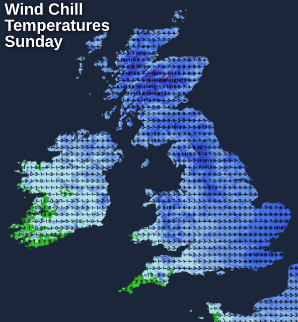
Drifting of snow is likely in exposed areas, given winds are gusting between 30-40 mph inland in the east, 40-50mph along eastern coasts.
Peak gusts this morning

Further north, no such issues with marginality here this morning, with deep cold air firmly entrenched earlier in the night compared with further south. Lincolnshire northwards, to the east of the Pennines and across eastern Scotland, will see frequent snow showers feeding in off the North Sea. 850 hPa temperatures of -10 to -11C and North Sea surface temperatures of 6-7C will generate steep lapse rates, creating convection and leading to snow showers which will blow in across eastern coastal areas.
5-10cm possible towards eastern coasts and on the eastern side of the Pennines, perhaps 10-15cm over North York Moors and higher parts of the Pennines, southern Uplands and eastern Highlands. Locally more where convergence zones over the North Sea feed in heavier band of snow showers. Little snow getting over to the west today though. These snow showers across eastern England and eastern Scotland continuing Monday and Tuesday, before easing on Wednesday, as the easterly wind eases and pressure rises.