More heat and thunderstorms on the way today with more severe weather expected. The heat is starting to subside slightly, with maxes into the high twenties, rather than mid-thirties by the weekend.
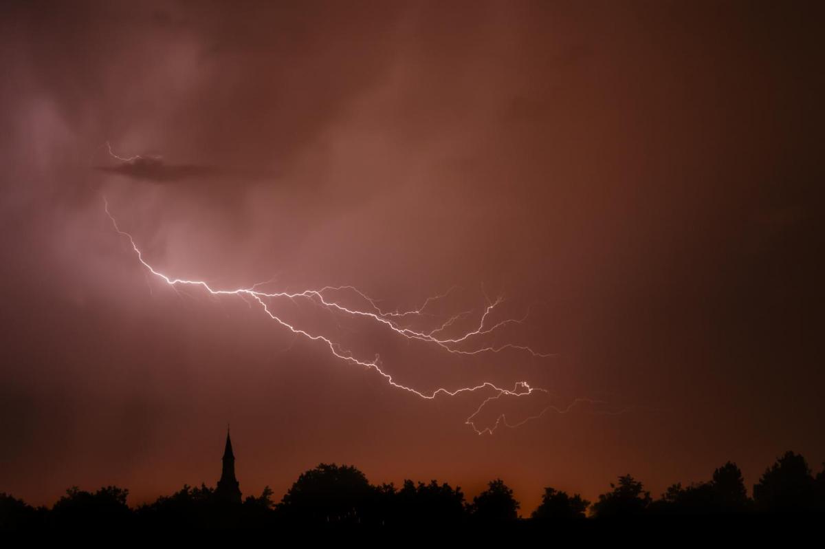
Well, that's been another very lively, sweltering 24 hours. The top temperature yesterday was 35.4c in London, but the heat was widespread with even Ross-on-Wye making it to 35c as well. With the heat, there were some severe thunderstorms, and torrential downpours bringing flash-flooding, damage and disruption, with more to come.
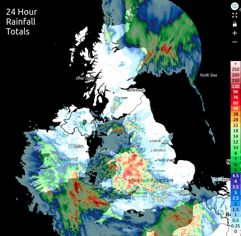
The rainfall totals during the last 24 hours tell the story well, with some parts missing out entirely on any action but others seeing 100mm of rain across just a few hours as the storms rolled through.
 moved
moved
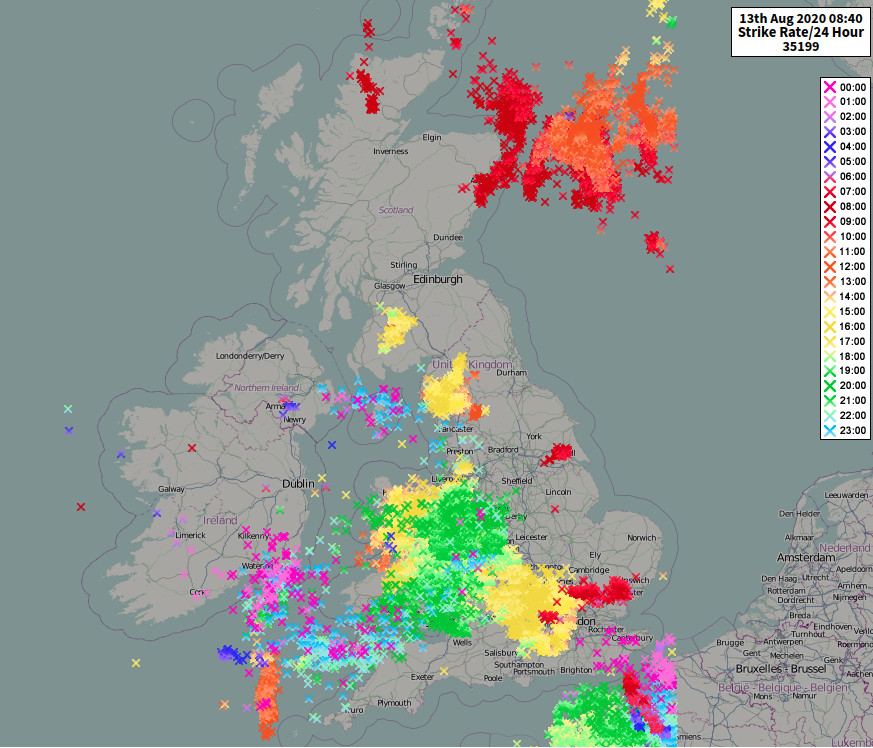
The lightning map for the last 24 hours is equally as spectacular with over 30,000 strikes recorded.
The next few days will continue to see the heat, especially in southern and central areas, but it won't be quite as fierce with highs reaching up into the low thirties in the south, the mid-high twenties in other parts. The storm threat remains though, particularly across England and Wales. The Met Office have thunderstorm warnings out until Monday.
Today, there's a fair bit of cloud in southern, central and eastern areas. In the east, it's murk from the North Sea which is going to be a struggle to clear, making for a cooler day here. Elsewhere, it's a mix leftover clag from yesterday's action, along with some further storm and shower development. The sun is already shining in many western parts though, and will break through more widely through the day, allowing temperatures to climb - it'll feel very humid in southern areas especially.
Like yesterday, there is also the threat of severe storms breaking out, with the main risk area for those through southern and central England, along with the southern half of Wales. A storm forecast has been issued for today with more detail on this.

Where the storms do develop, they're going to be moving slowly east to west or southeast to northwest, and will continue through the evening and overnight. It'll be another close, muggy night - particularly in southeastern parts where lows may not dip below 20c in places. Then, a very similar day follows on Friday with northwestern parts staying driest and sunniest, eastern coastal counties often cloudier and cooler. And those southern and central regions seeing some hot sunshine breaking through, with downpours and thunderstorms breaking out.
Temperatures on Friday, and into the weekend will be down on what we've become used to though, so the mid-high twenties will be the likely peak - still very warm but not as hot as it has been. The storm risk will continue, Saturday may see something of a lull, with the thundery downpours fewer and further between, but with low pressure approaching from the south later in the weekend and into the start of next week, the threat will soon increase again.