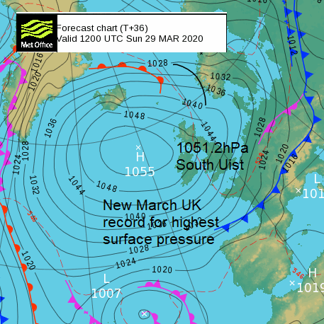
VIDEO forecast with Jo Farrow. Pressure in the north Atlantic reached 1055hPa with a new March record for the UK. Variable amounts of cloud for viewers of the next Starlink Satellite train.
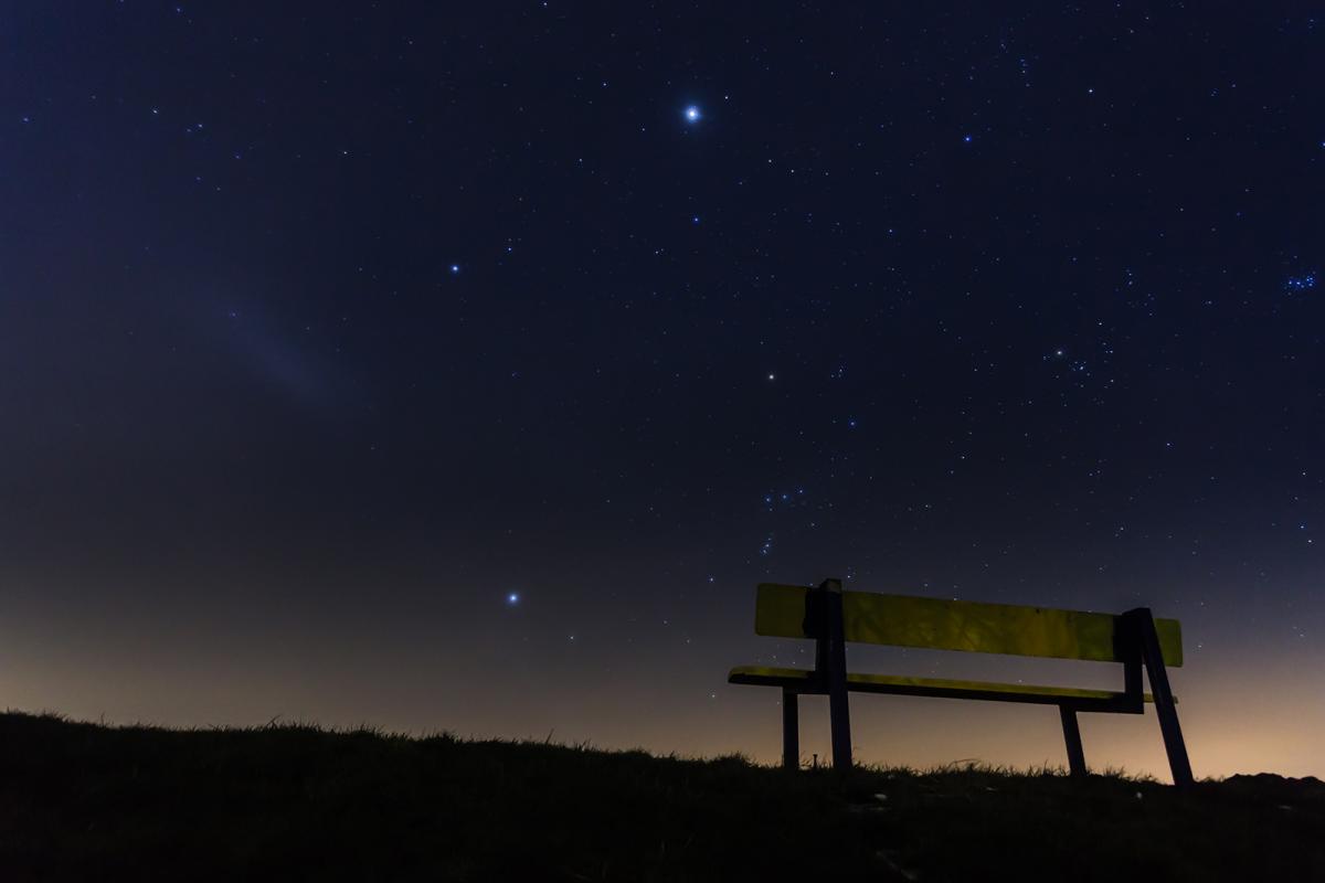
Worth a look later this evening at the night sky for the Starlink satellites, although there is some stubborn cloud.
Another intense high pressure is dominating our UK weather. Usually a high brings settled, steady conditions with little precipitation and if it persists, they can lead to severe temperatures depending on the season. In the centre of the high, there will be lighter winds and dry weather but at the edges, it can be more windy and fronts can glide past or showers get blown in. There can be clear skies and sunshine, or layer cloud trapped in the anticyclonic setup and from this drizzly rain can continue all day.
So, when looking at a high pressure on a synoptic chart don’t forget the time of year, wind direction and don’t drop old fronts too quickly.
To start the week the current high has had a good deal of cloud within it. There have been some bright clearer areas along the east coast with a chilly NE wind off the cold North Sea but with a sprinkling of showers too.
Monday night will see another flight of the SpaceX Starlink Satellites. People have been seeing these trains of regular lights in the night sky and been convinced there is an alien invasion. We don’t need any more global issues. Look outside, most of us have got nothing else on. These times are approximate and BST.
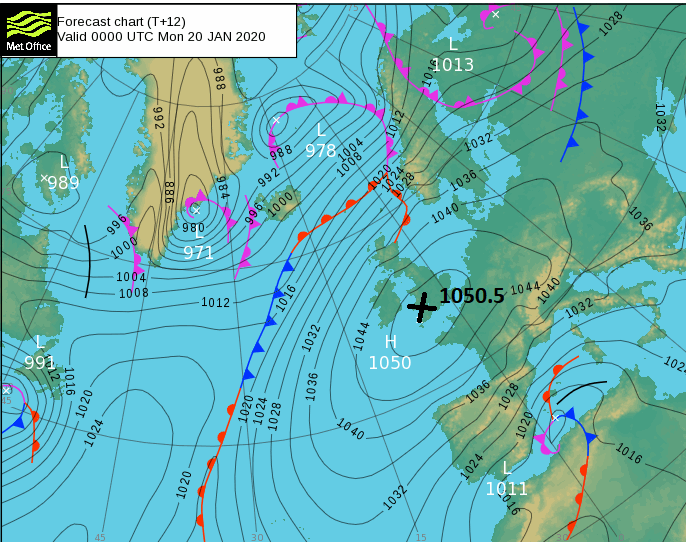
Here in the UK, we don’t often see surface pressure over 1050hPa (same as millibars). I say that but in Jan 2020 south Wales reached 1050.5hPa which was the first time in 60 years and then on Sunday 29th March the UK broke it’s March record with 1051.2hPa in the Western Isles. The overall UK record is 1053.6hPa from Jan 1902 in Aberdeen.
On Sunday the high pressure over the north Atlantic reached 1055hPa, in a different position to the January one. In January within the centre of the High, the UK had clear nights, the air became colder and more dense as it stagnated, descending to the surface.
For us now in late March it was the flow around the high which brought our chilly weather, drawing down colder air from the north. The clear skies will allow more frost this week.
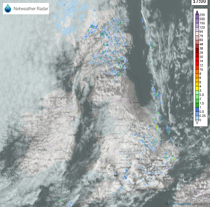
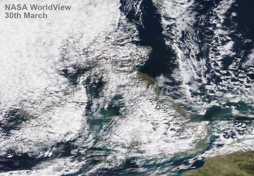
This is the image from 5pm BST on Monday. The cloud will thin a bit and break to give clear spells overnight, but a bit hit and miss. If not the best view of the skies, there will be other views.