


Many of us have started the weekend with dry, mild and quiet weather. But trouble is brewing with heavy rain and strong winds not far off. Storm Atiyah will be with us by the end of the weekend too.
Away from Scotland, it's not a bad start to the weekend with plenty of dry, bright and mild weather to be had today, but make the most of it as trouble is brewing out in the Atlantic. The rain which has started the day in western Scotland will spread east as the day wears on, and another spell will reach into Ireland later, with this one pushing right across Britain overnight.
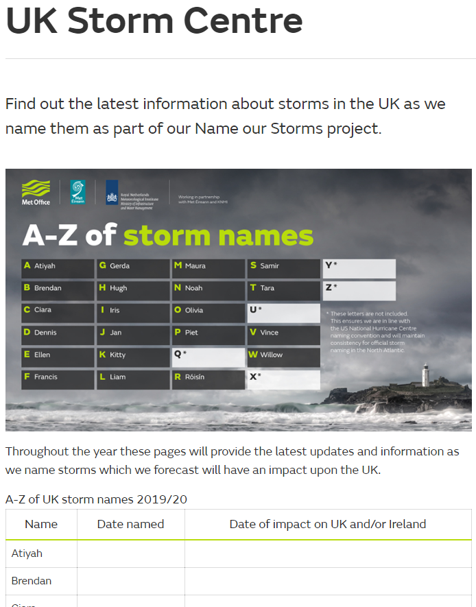
We also have our first named storm of the year arriving with us this weekend. Storm Atiyah was named yesterday by Met Eireann and is due to move through bringing severe gales across a good part of Southern Ireland and into southern and particularly southwest Britain on Sunday and into Monday. This whole storm naming malarkey seems to be passing the UK Met Office by at the moment though. As although they're in partnership with Met Eireann, I'm struggling to find a mention of Atiyah on their website. Even their storm centre page hasn't been updated with any information about it.
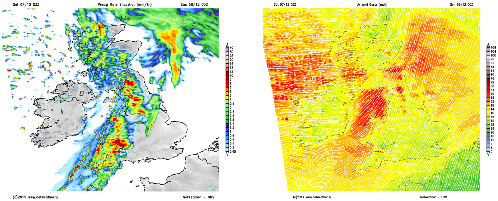
Ahead of the arrival of Atiyah, there'll also be strong winds with gales in exposed parts of western and northern Britain tonight and into the start of Sunday, by which point eastern coasts will also be getting in on the act too. The strong winds will be accompanied by a band of rain that'll cross Ireland during the late afternoon and evening, before quickly moving across Scotland and eventually southeast down through England and Wales. It should clear southeast England during the early part of Sunday morning.
Sunday will then see blustery and at times wintry showers from the off across the north and west of the country. Further south and east, once the early rain clears it'll be a drier picture initially, but some of those showers will filter through during the day.
It'll not take long for the winds to pick up as Atiyah arrives either. Initially, it'll be western and southern Ireland seeing the strongest gusts, potentially more than 80mph. Western and southern coastal counties of England and Wales will soon get in on the act though, with gusts likely to peak at 60-70mph here, and up to 60mph inland. Warnings have been issued by both Met Eireann and the UK Met Office for strong winds, with the risk of disruption both on land and sea.
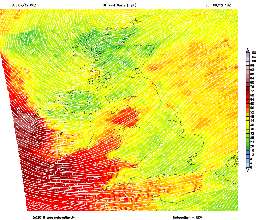
From the early hours of Monday, as the low pressure moves past the north of Scotland, strong gusts may well be likely further north, right up into Scotland. Then as it heads out into the North Sea, that threat transfers to eastern coasts, with the winds in the west easing. The showers should ease down from the west during Monday as well, with a temporary ridge of high pressure building ahead of the next Atlantic system.
That one will bring more rain and wind through overnight and during Tuesday - the warm front coming first before a cold front sweeps down from the northwest later on Tuesday. That one is likely to bring the heavier rain, with squally winds along it, and some wintry showers behind it.
The unsettled pattern then continues through into the second half of the week, with more showers on a chilly Wednesday - these falling as sleet and snow at times, especially up over the hills. Then more wind and rain is likely to arrive on Thursday before clearing to showers - so not ideal for getting out to vote, but hopefully, all parts should have a drier window at some point during the day.


