Despite the tabloid reports, we don't have storm Hannah on the scene this weekend. But even so, we do still have rain, snow and strong winds to watch out for. The weather is set to start to settle down into next week though.
It's the weekend, so we'll start with the good news - the weather is going to start to settle down soon and despite tabloid reports to the contrary, we don't have Storm Hannah on the scene this weekend. The bad news is that we do have low pressure crossing the country today, bringing another blast of wind, rain and snow.
You can see what's happening on the pressure animation below. Today's low moves through to leave us with chilly northwest winds tomorrow, but then high pressure makes a comeback into next week.
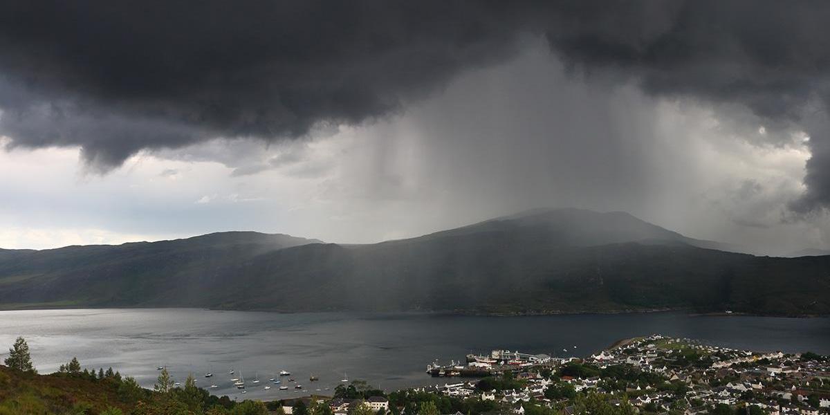
Today though, we have some troublesome weather to deal with. On the northern side of the low, we have snow affecting a good part of Scotland - even down to low levels at times. To the south is where the winds are strongest with gusts widely up around 50mph inland across England and Wales, and 60mph+ near to coasts, especially western and southern facing. Then there's also the rain, with a swathe of it across northern England and into southern Scotland, slowly moving south during the day.
Keep up to date with the latest on the weather radar - updated every 5 minutes.
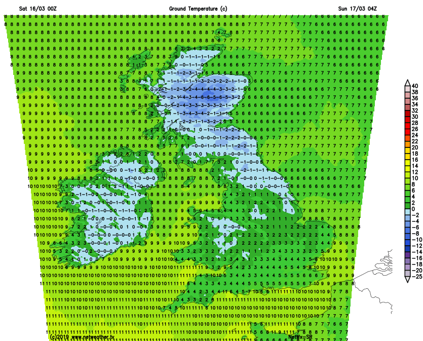
Into the evening and overnight, as the rain clears southeast it'll be replaced by wintry showers - these most frequent in the west. Winds will slowly ease back too, and with clearing skies there are likely to be some icy patches by dawn, especially but not exclusively across the northern half of the country where a widespread frost is likely.
Sunday then brings with it a day of sunny spells and a good few blustery showers. They'll be wintry in the north, and over the higher ground further south, all blown through on a strong west to northwest wind. The best chance of missing the showers will be in eastern areas, with the most showers affecting the north and west, but wherever you are it'll be a chill day with temperatures of 5-9c feeling several degrees colder than that once the wind is taken into account.
Many of the showers will die out overnight, so another cold, frosty and potentially icy start in places on Monday morning. Then with high pressure starting to nose in from the southwest, much of the country will see a fine, dry and bright day with sunny spells. The northwest may not do quite as well, with some extra cloud and even some outbreaks of patchy rain likely to move in.
That northwest-southeast split will be more noticeable into Tuesday as the high just struggles to assert itself properly at this stage, being squashed further south allowing weather fronts to try to attack from the Atlantic. So, there'll generally be a bit more cloud and some heavier outbreaks of rain trying to push down from the northwest but easing the further south and east they get.
Into midweek and beyond, the high nudges further north to bring plenty of dry, fine weather to most of the country. The northwest doesn't look likely to quite make it under the high's spell though, with more cloud and some rain at times.