The Welsh temperature record for February fell this weekend, and the overall UK record is in danger today and tomorrow as our warm spell of weather continues.
The weekend saw another February temperature record fall, with Wales surpassing the record of 18.6c which had stood since 1990. Gogerddan was the spot to break it, reaching 19.1c. That just leaves Northern Ireland and the national UK records, both of which could go in the next couple of days.

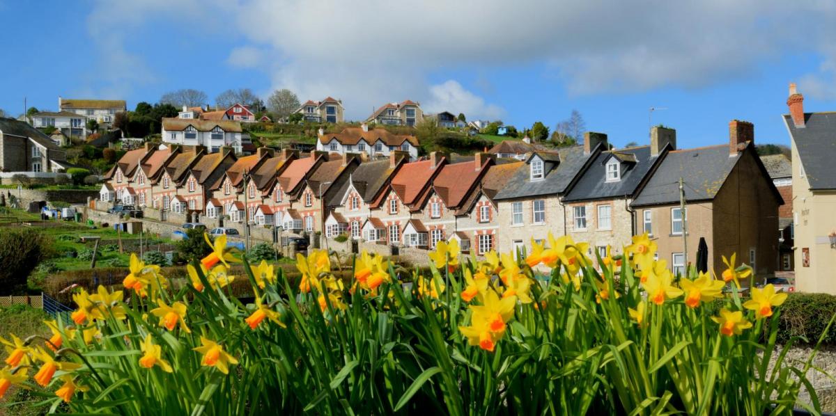
It's been a quite remarkable spell of weather, it's one thing to have a couple of days of warmer temperatures at this time of year, but another thing entirely to see such a sustained spell of warmth with highs so many degrees above the norm across several days. There's more to come during the next few days, but it's not going to last forever, with a fall in temperatures on the way later in the week, seeing them drop back nearer to average.
Today and tomorrow and Wednesday will follow a very similar pattern to the weekend. There'll be some fog and patchy frost overnight, but by day, the fog will clear, and it'll leave plenty of sunshine with temperatures climbing up into the mid-high teens. The far north and northwest of Scotland will buck the trend though, with more cloud and even some outbreaks of rain at times - these quite heavy during the first half of today.
Today and Tuesday are likely to bring the warmest temperatures, and either could see records falling again, we could even see somewhere in southeastern England rise to 20c or thereabouts.
Something to bear in mind during the next few days if you have allergies, breathing difficulties, asthma etc, is the air quality, which with light winds allowing local pollutants to stick around, along with Saharan dust in the mix, won't be great.
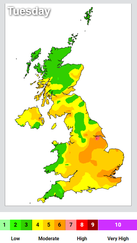 For more information, please visit the DEFRA air pollution forecast.
After midweek, we will start to see the weather change, as the high pressure which has brought the fine, mild spell slowly sinking further south. That'll see the start of more of an Atlantic influence to our weather, cutting off the supply of very warm air from the south. What it'll also do is bring some cleaner air, with air pollution levels falling.
In the main, Thursday will still be dry though, with southern parts still very warm for the time of year. Other regions are likely to be fresher and a touch cooler though. There will be the risk of some sharp showers developing during the day, but some uncertainty at this stage in terms of how widespread they may become.
As we end the week, the cooler weather starts to really take hold, although a few places are still likely to make it into the teens on Friday. Again there may be some showery rain about, along potentially with a band of wet weather approaching from the west.
We're then set to slowly see the unsettled weather take charge into the weekend and early next week, with Atlantic systems likely to be regular visitors, bringing spells of wind and rain with them.