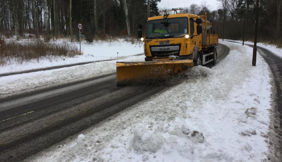
On one of the busiest weekends in the run up to Christmas, snow is forecast with heavy rain and strong winds. This could result in travel disruption, especially for Scotland and Northern England.
13 December 2018
After a relatively steadier week of UK weather, an area of low pressure will move right across the UK from the Atlantic, colliding with the cold air which has been feeding in from northern Europe all week. This low will bring high winds, plenty of rain and the combination will result in snow across northern Britain.
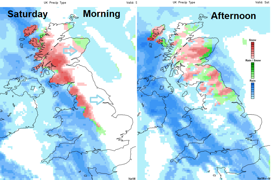
The Met Office has issued a yellow weather warning for Snow and Ice for Saturday and early Sunday. This covers Scotland and northern England. Netweather’s forecast model shows the risk of snow arriving for western Scotland, NW England and the Peak District during Saturday morning. The band of rain, sleet and snow them moves eastwards during the day, affecting NE England and more of Scotland in the afternoon.
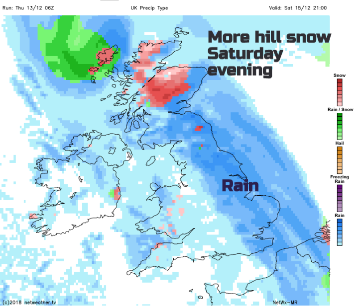
Even by Saturday evening, with a tuck of colder air in the far north there could be more snow for the Western Isles and northern Scotland with gales for exposed hills and coasts. This will result in blizzards conditions for parts of Scotland and the risk of freezing rain, which can make roads treacherous.
There will be fresh to strong SE winds everywhere on Saturday with gales through the Irish Sea, North Channel and severe gales for the Scottish Islands which could impact on ferry services at the weekend. With gusts over 60mph it will be a windy day and with the heavy rain, there will be difficult conditions on the roads.
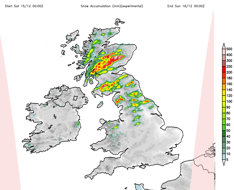
Image shows areas likely to see lying snow during Saturday and forecast amounts in cms.
Scottish ski resorts will be pleased to see decent falls (tens of cms on the mountains) on Saturday with conditions easing for the second half of the weekend.
Netweather Forecaster Jo Farrow said “Do follow Winter Preparedness information, it is December and this is the first spell of heavy snowfall. Along with the brutal windchill, this is not a time to be caught out or stuck. Sunday looks much improved. It will still be cold with a risk of ice early on but nowhere near as miserable as on Saturday.”
Keep up to date with the 7 day forecast, or check out our Will it Snow? page. There is our Twitter feed and Facebook page, or watch the actual rain and snow movement on the Netweather Radar.