There have been torrential downpours and flash flooding events this week with more rain to come. The risk moves to different parts of the UK as sunshine appears for England and Wales this weekend.
Meteorological summer starts tomorrow. June July and August are taken as the summer months for statistical purposes. Some parts of the UK have experienced summer-like heat and sunshine this past week with temperatures in the mid to high twenties Celsius. Other areas have had warmth, more cloud and a humid, muggy feeling in the air. For some, it has just been cold and grey thanks to a breeze off the North Sea, more like winter.
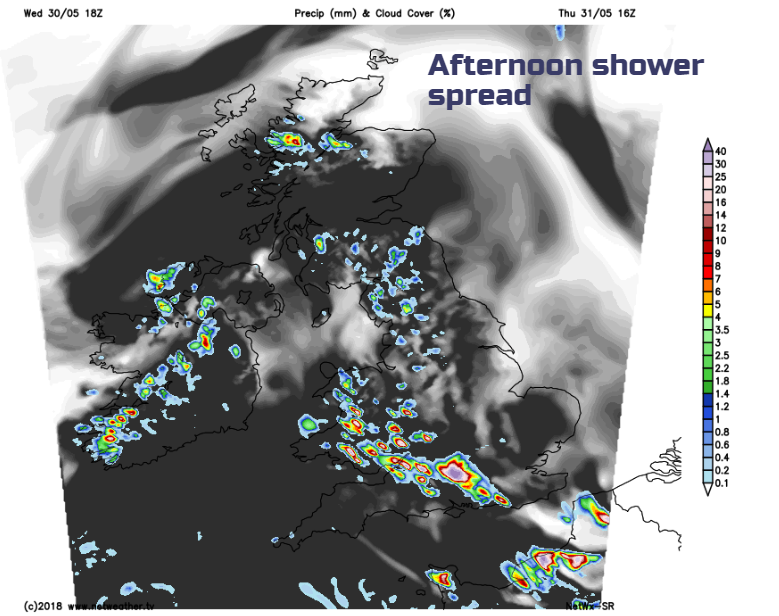
This mixed picture continues with swirling changes of who gets what. The heavy thundery downpour threat will move north on Saturday. Sunday looks hot and sunny for southern Britain and next week looks drier as the heavy shower threat eases.
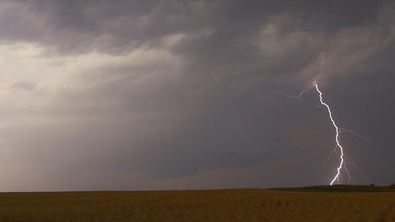
Today, again there is the risk of heavy thundery downpours with flooding, lightning and torrential rain. Already this week several places have seen flooded roads and town centres. There is a low pressure away to the SW of the UK and Ireland and rotating around this are bands of showers moving west/NW swatting the UK. Northern Irlen ad has a murky damp start but the heaviest showers will become confined to Tyrone and Fermanagh this afternoon. IN light SE winds temperatures will reach 20 or 21C.
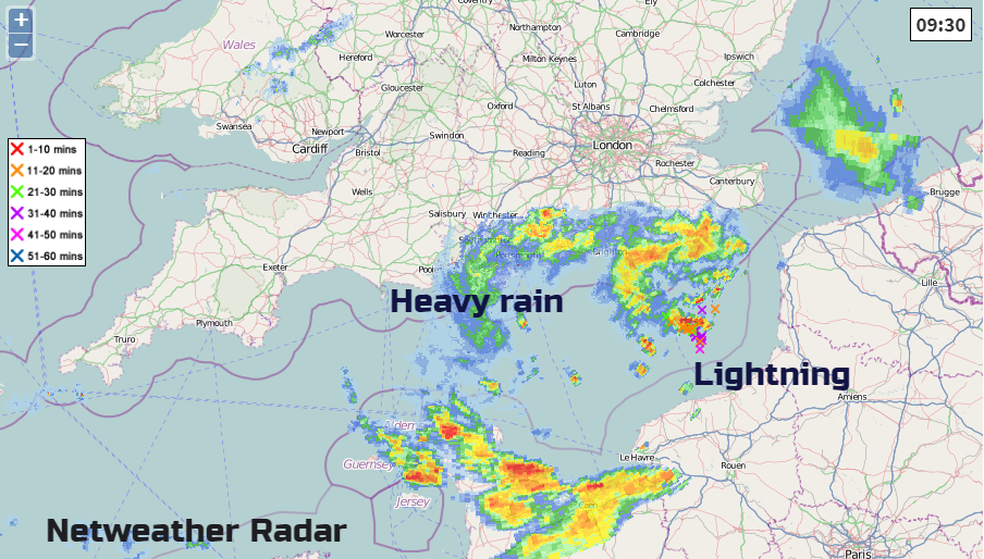
Overall for Britain winds will be light from the east or SE. There is a lot of cloud about this morning, with a few breaks in the far NW with showery bits brushing the far north of Scotland. The main march of heavy rain will be a feed of showers from the English Channel. These are already showing on the radar and heading NW. The forecast seems to move them over the English Channel into wales but don’t take the positions too literally from the chart. It will be a case of watching the radar again today.
Away from these showers, there will be bright spells, still a lot of cloud, lingering sea fret and haar for the NE, that will lurk through the weekend.
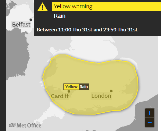
It is tricky the forecast this week. If you have been watching the forecast on an app and seen thunderstorm symbols come and go, or temperatures vary throughout the day, it can be quite frustrating. The environment agency areas show where is more at risk from hefty downpours and so flooding for the end of the week, but it will only be small spots within these counties that actually see the storms. The forecast is about risk, not actual totals or storms
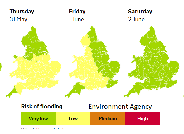
Southern Britain is at risk of more storms today with that area remaining over Wales and the West Midlands tonight. BY Friday morning the risk looks to be still over Wales and across the Irish Sea, maybe into CO Down and for Dublin. Heavy thundery showers then spread over more of western Britain, up into Scotland which has been very dry recently with wildfires in a few places. Temperatures will reach into the twenties Celsius.
Eastern Britain looks dry and sunny but still with the low cloud clinging to the North Sea coasts. There could still be a feed of heavy showers across East Anglia on Friday; we’ll have to watch what develops. There will also be pockets of cloud over SW England and along the English Channel. For most, it will be warm and humid, but there will be a slightly different feel for SW Britain with a westerly breeze sneaking in, making it feel fresher.
A few thunderstorms continue to rumble away into Friday night, with very light winds.
The Weekend
The threat of thunderstorms should be for NW Scotland with a lot of cloud across the UK in the morning and then more sunshine for the south by the afternoon. With a light westerly breeze, it could feel a bit different on Saturday. Sunday looks super for much of England and Wales. A cluster of showers could clip the far SW and there is still the risk of scattered showers for western Scotland, Wales and Northern Ireland but dry for most even if the cloud lingers. It looks hot in the south on Sunday back up into the high twenties, cooler further north.