Not as warm for the rest of this week, with rain from the west and blustery winds. Still some sunshine but no repeat of last weekend.
We have a cooler few days coming up. After temperatures peaking in the high twenties Celsius for SE Britain yesterday and at the weekend, London could see 21C today but everywhere is cooling down. By the weekend there will be a nip in the air by night after a changeable few days.
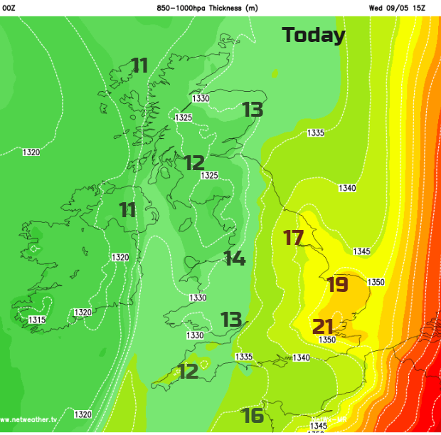
Today there is an Atlantic weather system heading in from the west. This is already bringing rain to Ireland. Ahead of this band, is warm air for central and eastern England, pleasant enough but not the heat from earlier in the week. The UV levels remain the same even as the temperature changes and the tree pollen forecast is moderate to high for many areas.
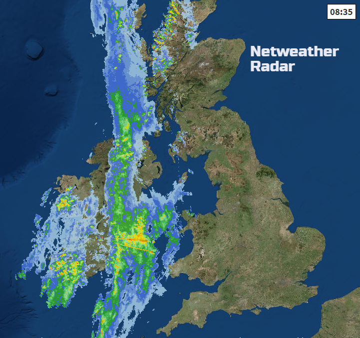
The southerly winds will freshen as the rain arrives, strengthening for western Scotland and then veering to the west later on. Much of Britain starts Wednesday with fine, bright weather even sunshine in the east. Cloud increases further west with rain over western Scotland, heading over the Irish Sea and giving a cool, grey and wet start to Northern Ireland.
Later this afternoon there should be a clearance from the rain for co Fermanagh and Tyrone with sunshine, drier spells but still a freshness in the air. By the afternoon the rain band should be over NW England, much of Wales and Scotland. Patchy rain will be over the West Country with heavier bursts always for western Britain
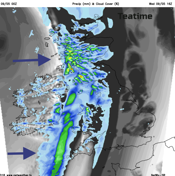
The rain band fades and fragments as it moves over central and eastern Britain this evening. Cooler and fresher air moves in
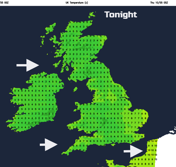
Pressure begins to build for Thursday bringing a fine, bright but fresh day with plenty of sunshine. There will be a scattering of showers for western areas brought in on a moderate breeze. Some of the showers will be heavy for western Scotland but overall not a bad day just with temperatures of 12 to 17C.
Midler air could clip SE Britain later on Thursday, but overall Britain will have a cool, still clear night as Ireland sees more cloud and breeze from the south.
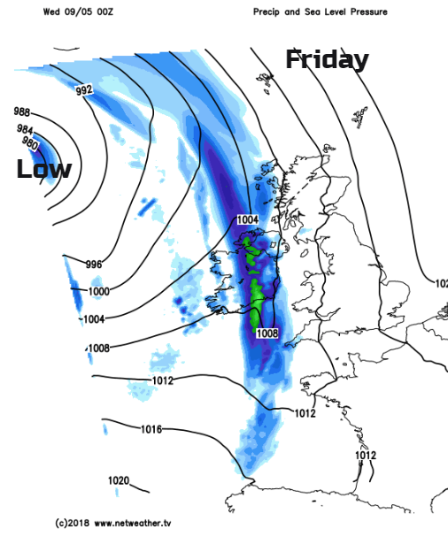
Another frontal system heads in from the Atnatic for Friday, more cloud, wind and rain but a southerly wind so not too bad ahead of the front in any brightness and shelter. There will be heavy bursts of rain at times and strong winds for NW UK
The cold front rain pushes NE across Britain on Friday night, with a touch of frost possible for Northern Ireland.
Then by Saturday, we are back to a SW flow, the low pressure nearby so it will bring a feed of shwoers from the west but still good sunny or bright spells, especially for SE Britain.