The early May bank holiday temperature record will fall today. But if sunshine and warmth is your thing, make the most of it as change is on the way.
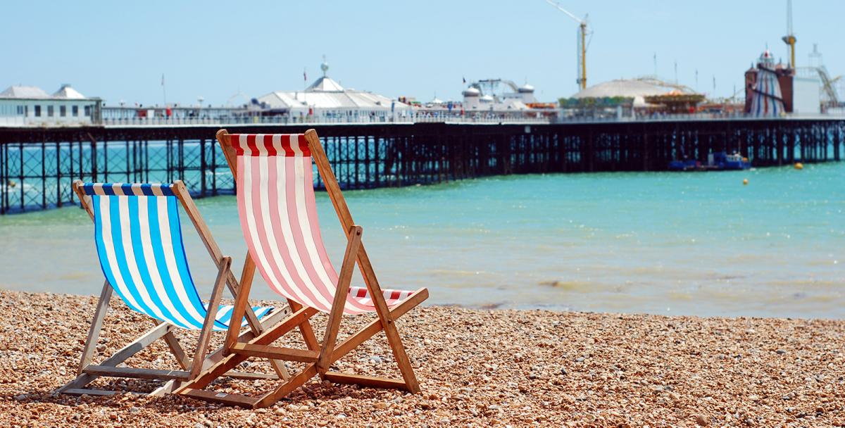
The hottest ever early May bank holiday in the UK was recorded in 1999, with temperatures reaching 23.6c, today that'll be breached before lunchtime. Temperatures in the southeast are set to peak at 26-28c, comfortably bettering the record and potentially setting one which will last for many, many years to come. Elsewhere, with bags of sunshine, highs will be into the low-mid twenties widely as far north as southern Scotland.
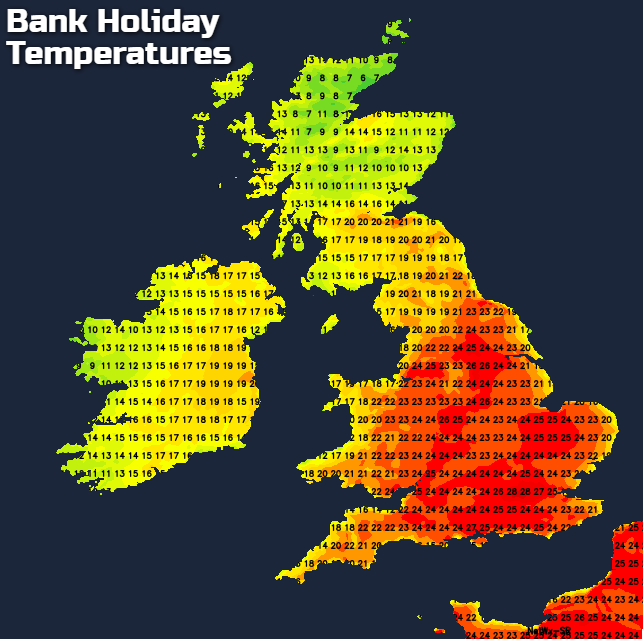
It's a lot less warm for the northern half of Scotland, where there's also some patchy rain to contend with. And with onshore breezes on both the east and western sides of the country, some coastal locations will also be cooler with low cloud drifting in.
This evening we keep the clear conditions for much of England and Wales, barring the very, very outside chance of a shower or two popping up in places. The start of the change back to cooler, less settled weather moves into the west later though, with increasing cloud, and eventually, rain arriving. It'll cross into Ireland around midnight, heading east through the remainder of the night, reaching western Scotland during the early part of Tuesday morning.
Other western regions will then get in on that act, but the rain will really fizzle out as it tries to move further east. Ahead of it, another warm, sunny day for much of England and eastern Scotland. But the warmth and the proximity of the front bringing the change into the west mean some sharp, thundery showers are likely to fire into the afternoon in central and eastern parts of England. Behind the patchy rain further west, it's cooler and fresher with sunny spells and a scattering of showers.
I've animated the temperatures for tomorrow, as they will change through the day, with the heat still in eastern and central parts but gradually being squeezed away from the west as the front moves further east and the showers start to break out.
Into Wednesday, there'll be some more rain turning up into the west, but further east there'll be some sunny spells, perhaps with a few residual showers in the southeast. Temperatures will be quite different to the previous days though, with highs typically reaching the mid-teens at best. Although in the southeast, 18-20 is possible. The wet weather then moves west to east later and overnight, clearing the east on Thursday morning.
We're then left with sunshine and showers for the remainder of Thursday. Temperatures will be cooler again with 12-15c the peak just about everywhere with a fairly stiff westerly breeze blowing. Friday will see low pressure arriving on the scene, bringing a spell of wet and windy weather in from the west again with sunny spells and some showers ahead of it. The rain is set to have a bit of a struggle crossing west to east, so it could be well into Saturday before it finally gets away from eastern Britain, and as you can probably guess, there'll be sunshine and showers to follow.