Overall quiet, with dull, damp weather for central and eastern Britain. Clear skies further west there will be brighter skies even sunshine but the risk of frost and fog.
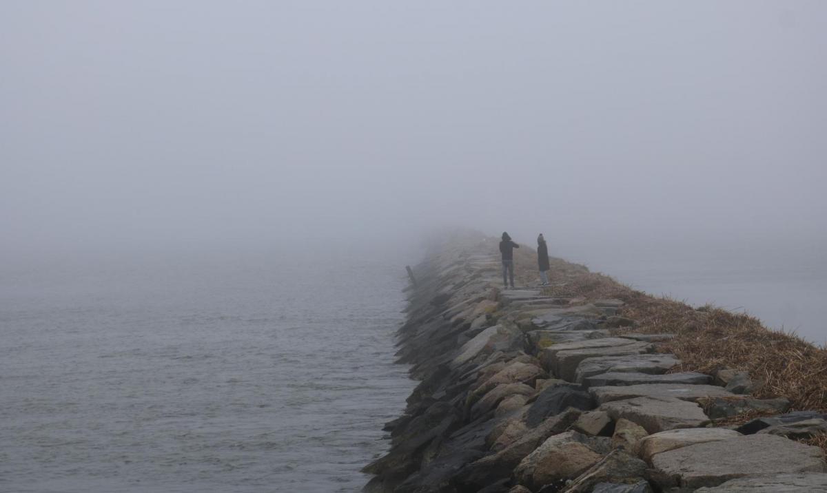
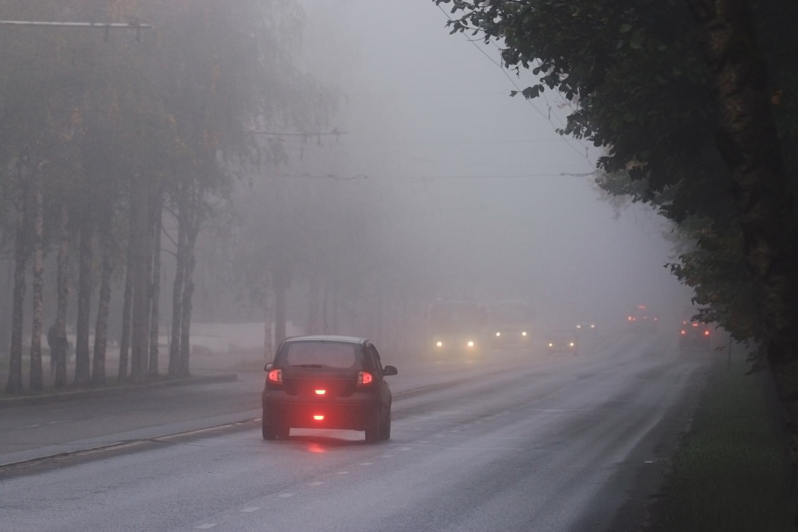
Not as cold this morning with temperatures in SE Britain around +6 or +7. Northern Ireland is cool at just above freezing but we don’t have the widespread sub-zero temperatures that we saw to start the week. There is hardly any wind and fog has formed overnight. We also have particularly murky conditions for inland northern UK and there is hill fog and greyness from a weather front draped through Britain. The rain is light and patchy over much central and eastern Scotland, but you can see a more definite band from the Borders down through England and a cold font kicking ahead into Belgium.
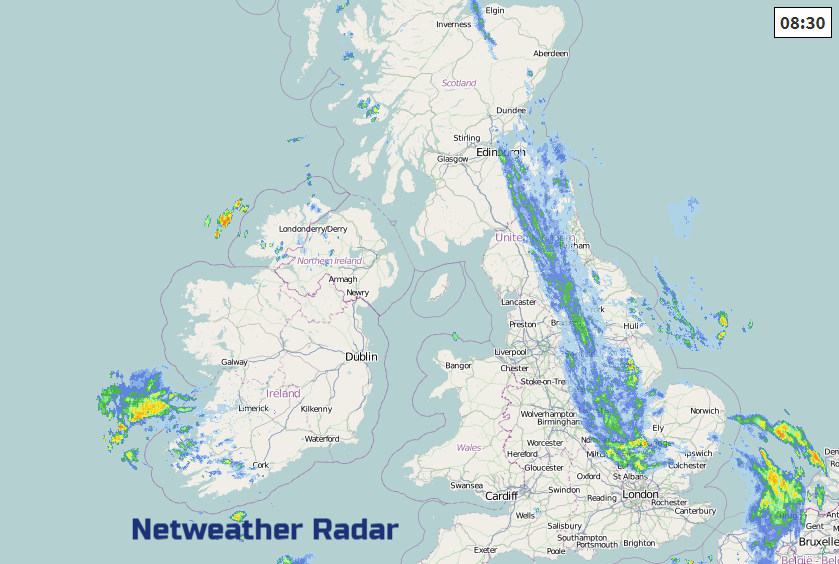
This frontal band stretching north-south has had lots of waves and bends in it, so the hourly forecast data (like you would see on an App) is a bit out. Don’t’ rely on the timings of the rain from the hourly info, just keep an eye on the radar and the progress eastwards of this rain band.
The band of cloud, murk and rain falters over eastern Britain, so here it stays grey and damp. Further west for Britain there will be brighter skies and once any fog shifts, sunny spells too. Northern Ireland will see bright spells too but keep a lot of cloud inland. It will stay cooler here around 3 to 5C
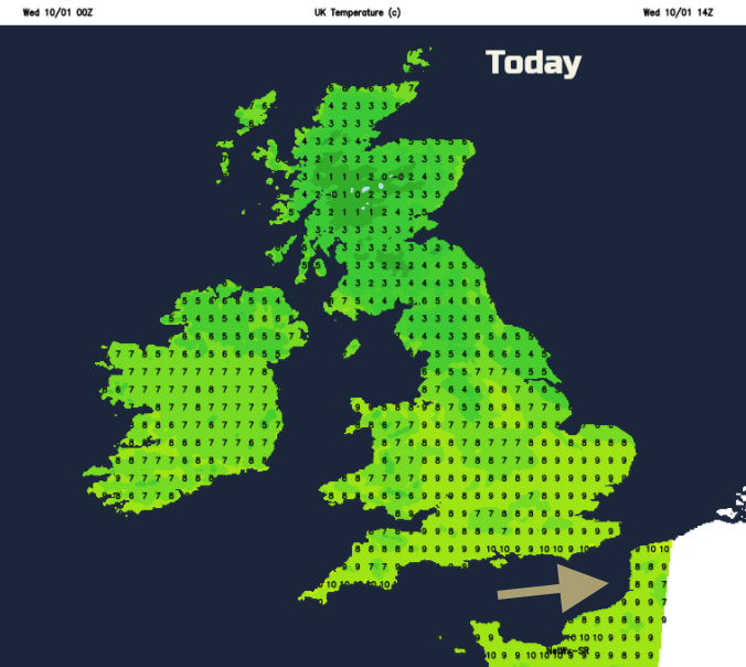
Much of Britain will have a milder midweek with temperatures of 6 to 9C, maybe 10 or 11C in the far SW but still colder for inland Scotland at 5C.
The rain remains over eastern Britain into the evening, north of the Wash and feeding up towards the Northern Isles with some heavier bursts for Shetland before it all clears away to from NE Scotland. Later in the night, the same band sways back into eastern England.
Much of the UK will have a settled calm night but there is another area of low pressure near to the Brest peninsula throwing lots of hefty showers about. These could affect the far south of Ireland but look, on today’s model run, to stay away from SW Britain.
Thursday
Much of Scotland and western Britain will start off fine and sunny on Thursday although with fog again and frost in the north. England will have lots of cloud and still that damp weather clinging on in the east. Northern Ireland will have a similar day to today.
The wind will be in the north and although air temperatures in England could reach 7C, under the cloud and with the wind chill it won’t feel that great. A brisk cold north wind could affect NE England by the afternoon and clip Aberdeen. Overall Thursday is settled under a ridge of high pressure.
Friday
It remains still and grey into Friday with the full damp weather still in the east and clearer skies further west. With low temperatures again, there will be some frost and more chance of fog, which could cause problems for Friday morning rush hour.
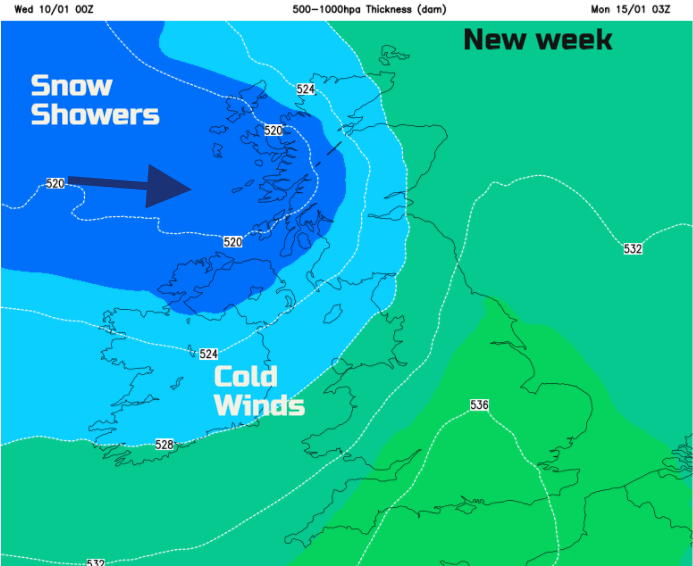
SE winds pick up on Saturday as a weather front tries to push in from the Atlantic but still struggles against the large high pressure over Russia. Saturday looks wet for Northern Ireland and then that front fades over Britain. Another weather system follows for Sunday and looks to have more oomph. So, could bring heavier rain from the west, strong winds, even gales in the north and then allows colder air with wintry showers by Sunday night.
Overall the next few days will be quiet, with dull, damp weather for central and eastern Britain. With some clear skies further west there will be brighter skies even sunshine but the risk of frost and fog. A more mixed picture by the weekend as the winds pick up.
Check out the regional forums in the Netweather Community.