Colder air has arrived across the UK now. And as rain moves up from the southwest later on, it's going to meet it and turn to snow in places.
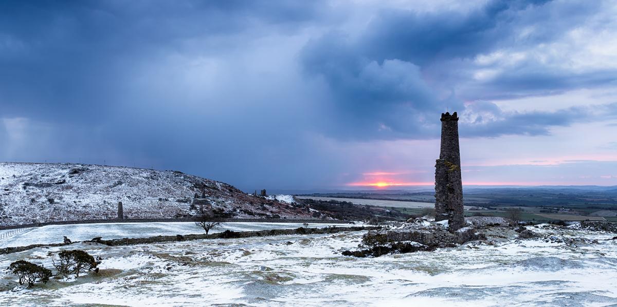
We've had the first official white Christmas since 2014, and there's more snow to come. Today many parts have started dry, bright and chilly, but wintry showers are affecting western and northern parts. Down to the southwest, we have trouble brewing, with rain slowly spreading in during the day and starting to fall as snow later.
Temperatures today will be mildest in the south with 8c likely here, a chilly 3-5c further north. Winds will mainly be light away from southern regions, but increasing in southern England and south Wales through the day as low pressure approaches.
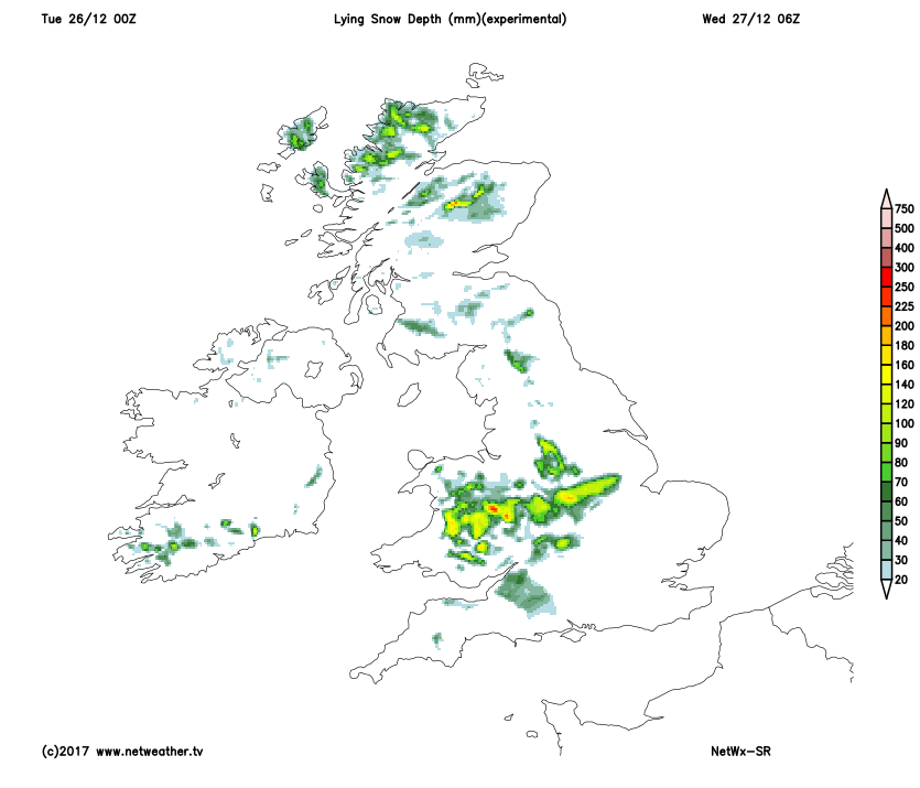
This evening and overnight, the rain, sleet and snow spread to Wales, central and southern England. It'll be quite different to the north of all that, with mostly clear skies and light winds meaning a sharp, widespread frost and just a few wintry showers close to coasts. By morning, some in that central swathe will wake to a covering of snow. It's tricky to call exactly how much and where, as it'll be a borderline rain/snow situation - height will certainly be a factor. This is where the NetWx-SR model currently expects there to be lying snow at 6am tomorrow, but it is subject to change.
 Through the remainder of Wednesday, the rain, sleet and snow will be moving southeast, eventually clearing the southeast corner later in the afternoon or early evening. There's likely to be more sleet and snow, settling over the higher ground.
Elsewhere tomorrow, it's another bright or sunny but cold day. Once more, there'll be a scattering of wintry showers close to coasts, but inland it's drier. That then leads us into another cold night, with temperatures widely dipping below freezing. Ice is likely to be an issue in places, so take care if you're heading out and about.
 Thursday then continues with the dry, bright and chilly theme - although there will still be some wintry showers near to coasts. The quieter weather doesn't last for the whole day, with the next Atlantic system making a move in from the southwest into the evening. First, there'll be some outbreaks of rain affecting southwestern England, with the wet weather then spreading through to other western areas overnight and into the first part of Friday. That then all spreads further northeast.
With the cold air still in situ, the rain will again start to turn to snow in places. This time it's the higher ground of northern England and Scotland most likely to be at risk. Hot on the heels of the first band of rain, sleet and snow, there'll be another one rattling in from the west later Friday. As the air will be slightly milder by this point, the snow risk is likely to become limited to the higher ground of Scotland.
 Another feature from Friday and into the weekend will be the wind, with gales, perhaps severe at times; low pressure moves closeby. Something else to keep an eye on as active-weather continues through a good part of Christmas week.