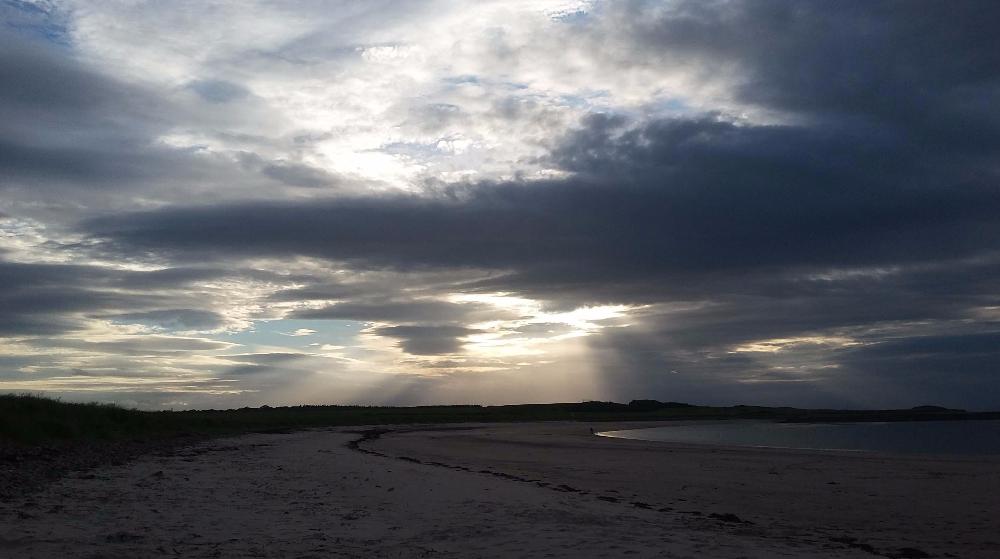
It's mild to the south of us, cooler to the north, stuck in the middle with rain. School holidays for some parts and with more rain forecast for western parts, after all the wind, rain and waves of last week.
The coming week will see weather fronts stretching across the UK, bringing cloudy skies, bands of rain and milder air up from the south. Northern parts will have clearer, brighter skies and feel fresher but anywhere away from the wriggling rain bands will see lengthy spells of fine weather. Don’t despair if it is the half term holidays for you.
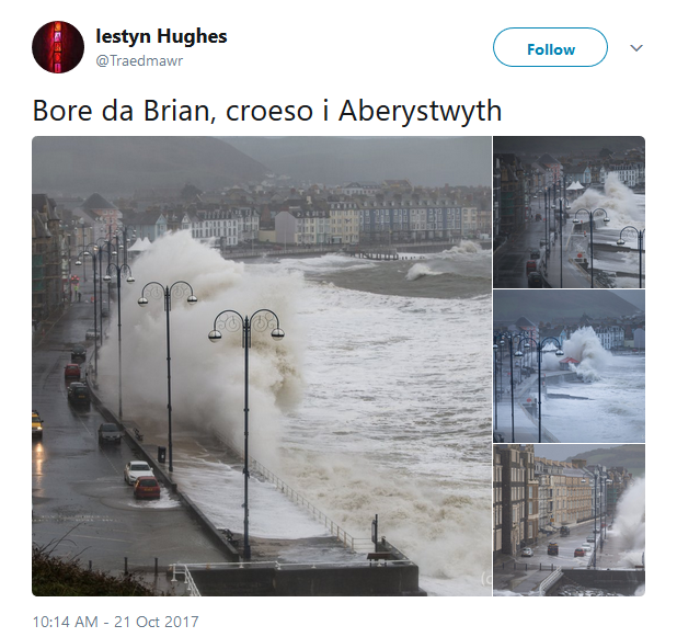
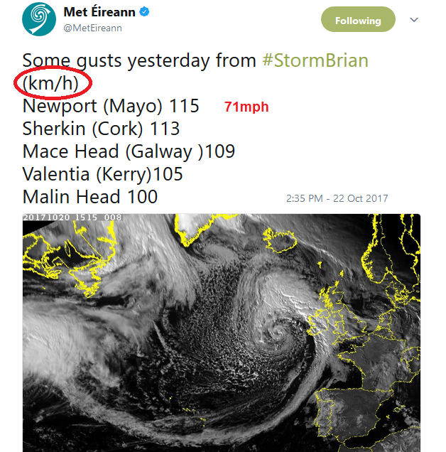
You may still be reeling from #StormBrian. This battered, Ireland, Wales and parts of western and southern England. There was heavy rain, leading to flooding and disruption particularly on the train lines. There are still a few Flood alerts in places this morning, on the Severn and most for rivers in northern England. The gales and high gusts again hit trees with plenty of leaves remaining. Fallen trees blocked roads and railways and there were huge waves around the coasts.

Two spots in Gwynedd recorded gusts of 78mph, The Isles of Scilly 68mph and the Peak District over 60mph gusts. In Ireland Co. Mayo in the west had a gust of 71mph
After Ophelia and Brian, this week looks quieter. This morning we have a weather front stretching north-south through Britain. Ahead of this is colder air, with a nippy start for NE Britain, down to +2C in Scotland. Behind the front, it is milder as the southerly winds veer to the SW. Northern Ireland is already seeing the brighter, drier weather. The occluding fronts continue eastwards today, still with a lot of cloud, further outbreaks of patchy rain and mostly the weather improves. Another trough line will move in for NW Scotland and bring further outbreaks of rain with more cloud and SE Britain will take quite a time to lose the frontal cloud. Temperatures will widely be 13 to 15C with milder air in the south and 17 or 18C possible.
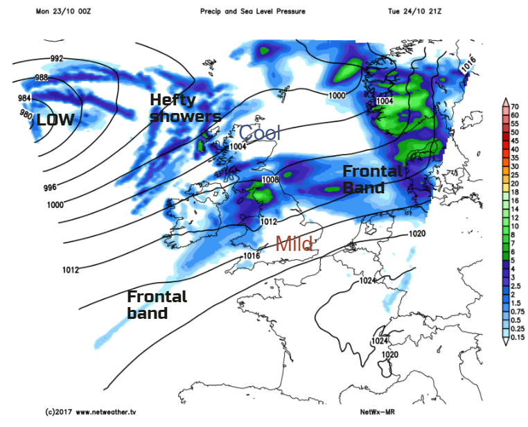
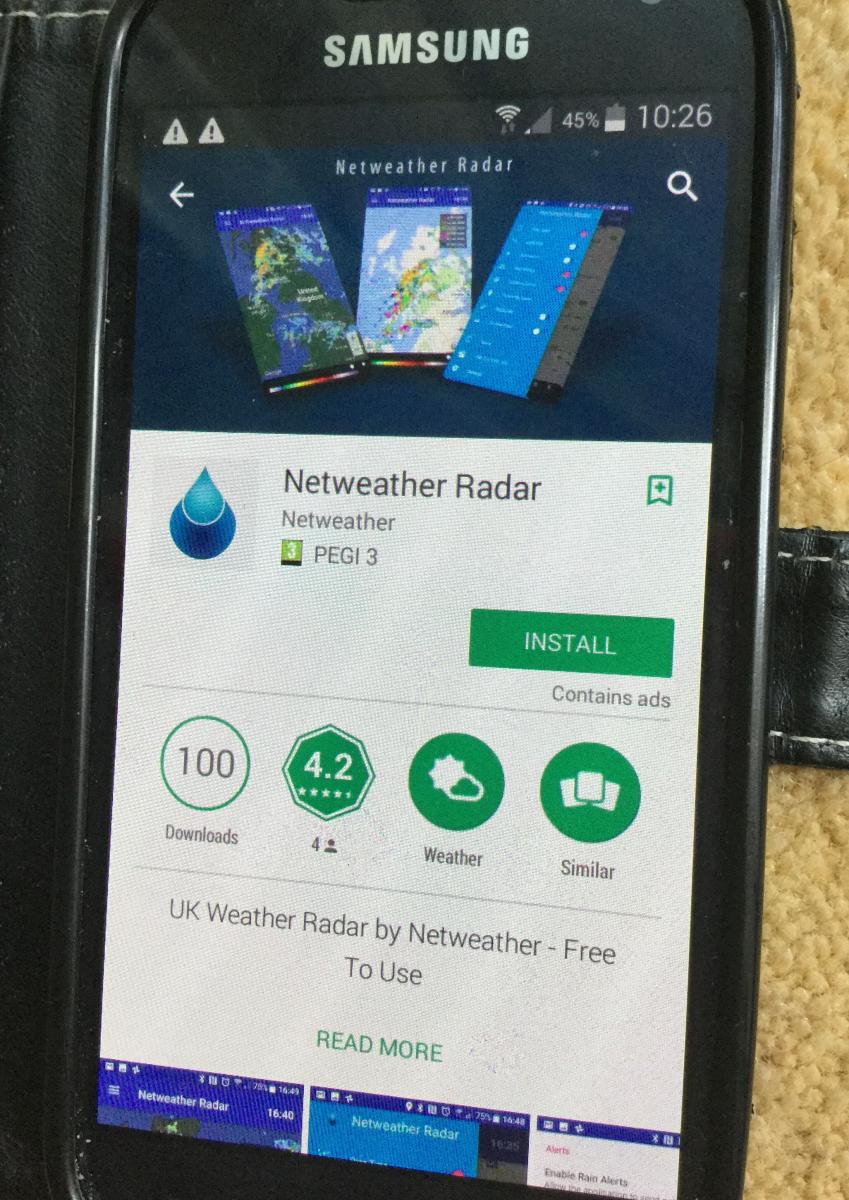
Into the middle of the week, low pressure drifts from the south of Iceland, north of Scotland, just keeping the south-westerly flow. The frontal divide, between cool air in the north and mild air in the south, continues to bring rain but moves about north and south. Quite hard to have high confidence with these waves, so don’t take the timings of rain on any weather apps too literally. Especially if you are planning an outdoor activity and trying to choose which day or morning against afternoon. If you look at the Netweather radar and chose animate, at least you can see where the rain band is first thing in the morning and which way it has been heading over the past few hours.
Western parts of Britain look to get a lot of rain this week, Wales, NW England and western Scotland. More shelter will be eastern Scotland, SE England, at times eastern England and Northern Ireland. In the warmer air, when the sunshine appears through the cloud, temperatures could reach 19 or 20C, and it will feel pleasant.
So, not a perfect week, weather wise but it could be worse. There aren't any more named storms lurking for this week, and although there will be more rain for already soggy areas, there will also be fair weather and autumnal mildness if you don't want it to be too chilly. There could be some fog and murkiness in the morning, so if you are travelling further afield, that maybe something to watch. Northern Britan and, at times, Northern Ireland will stay cooler, with a touch of grass frost. Whatever you are up to, even if it is just enjoying the quieter traffic on the roads, have a great Monday.