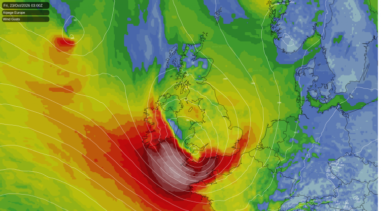
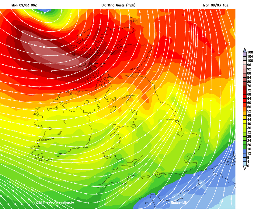
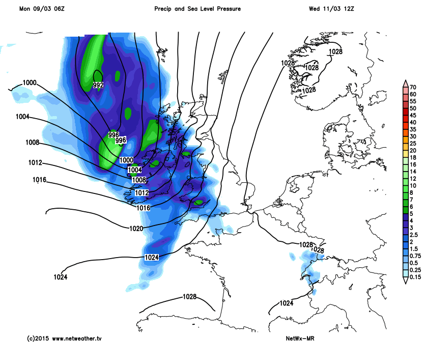
The wind is already picking up over northern areas, and it will continue to strengthen through the rest of today into the early hours of Tuesday, with western and northern Scotland in the firing line for storm force winds and gusts of over 90mph. A Weather Alert was issued yesterday covering the potential for disruption in Northern Ireland and Scotland.
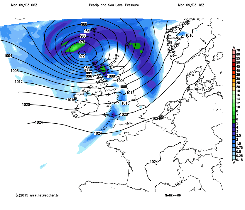
As the low pressure passes close by, heading north east towards Norway, high pressure edges in from the south west and will calm things down through Tuesday. It arrives during the early hours, so there is the potential for a quick frost under a clearing sky, particularly for the south west of the UK.
After a calm and bright day, a widespread overnight frost sets in, with a risk of ice on untreated surfaces. Unfortunately it's a brief peaceful lull in the proceedings as another couple of low pressure systems will be queuing up to bring more wind and rain midweek.
Loading recent activity...