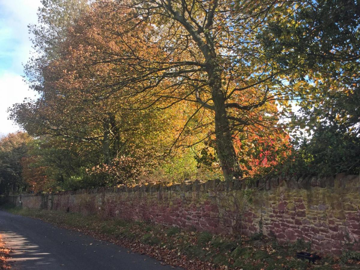
Friday’s weather setup will be similar to Wednesday’s. A cold front heading southeastwards over England, bringing a spell of cloud and rain. To the north and west of this, there will be clear skies and sunshine, but with a rash of heavy showers coming off the Atlantic. There will also be a shift from mild air to cooler, fresher conditions behind this cold front. So quite a mixed day as the various weather zones move by.
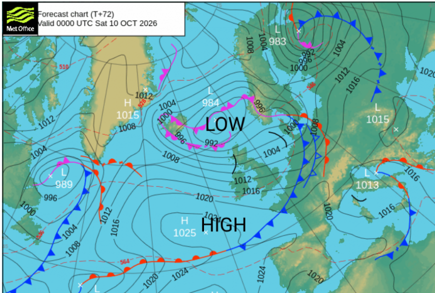
There could be some heavy rain along the cold front; line convection is showing on the UKV model, so there could be sudden, hefty downpours with poor visibility and spray on roads. In any sunshine, it could feel warm ahead of that front before the wind veers from a southwesterly to a fresher westerly.
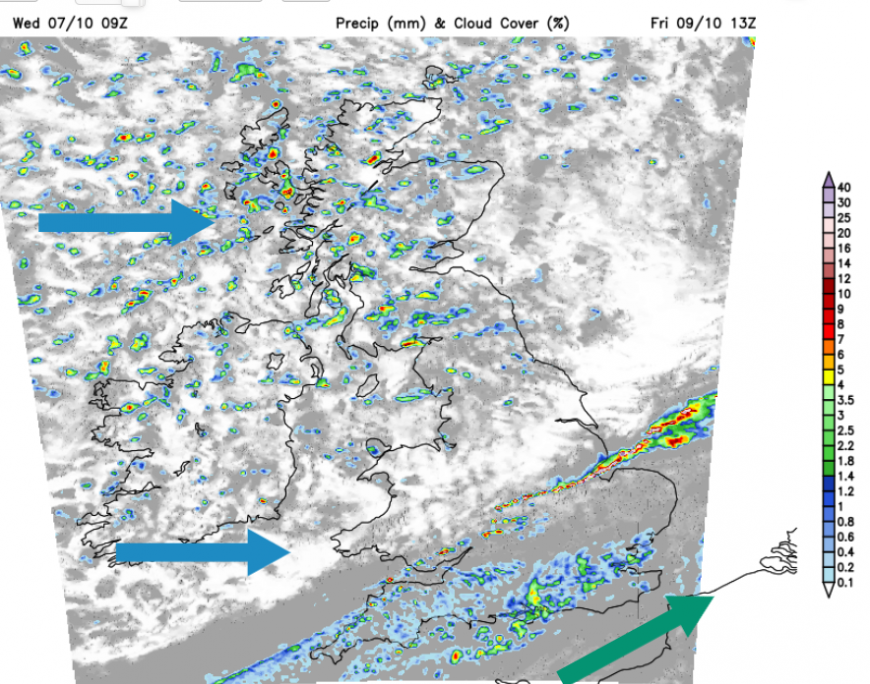
Friday night will feel colder. Many areas will be clear with a cool wind but the heavy showers will continue to feed in from the northwest.
Saturday
The UK will be in the cooler and fresher air with a brisk westerly wind. There will be showers and sunny spells. Southern and eastern areas will have more drier and brighter weather, whereas northern and western parts of the UK will be more exposed to the showers. Some of these will be thundery too. However, showers will make their way over more of Britain during Saturday afternoon. With a low centre to the north of Scotland, there will be strong winds at times over Scotland and the Irish Sea and bands of heavier showers as the occlusion sinks southwards.
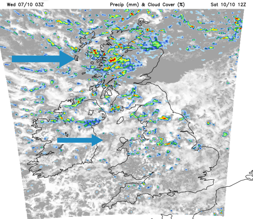
Glasgow will feel cool on Saturday with passing blustery showers and temperatures only up to 12C. In London it should be a fine weekend with temperatures around 17C.
Gradually during Saturday evening and overnight the low centre moves away towards Scandinavia, reducing the showers as the winds ease down. Pressure will begin to rise over the UK.
Sunday
By Sunday morning, the winds will be lighter, the air will still feel fresh but there will be plenty of sunshine and dry weather so it will be a more cheery day.
Cardiff will see a fair weekend with temperatures around 16C. Saturday will be more breezy but Sunday could see increasing cloud. For Belfast, Sunday will be the better day of the weekend. After the heavy passing showers and brisk winds on Saturday, Sunday will be calmer and fine, although still with temperatures around only 13C.
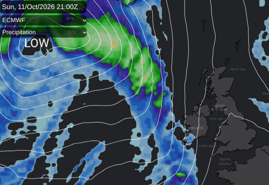
There are new weather systems out in the Atlantic but the models show that the ridge of high pressure does a good job at holding them at bay for the second half of the weekend. Warmer air may reach Cornwall by Sunday evening with frontal rain. The ECM model brings this change by Sunday evening; the GFS model is slower. For most of Sunday, it should be fine and calm, just with an autumnal nip if you are out of the October sunshine.
Loading recent activity...