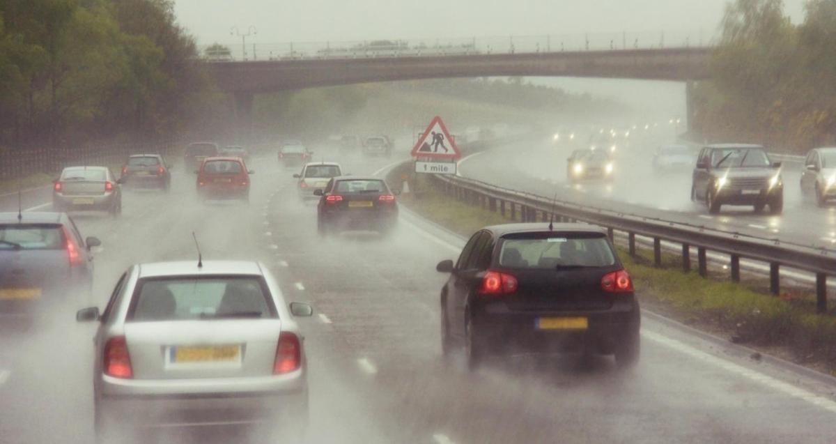
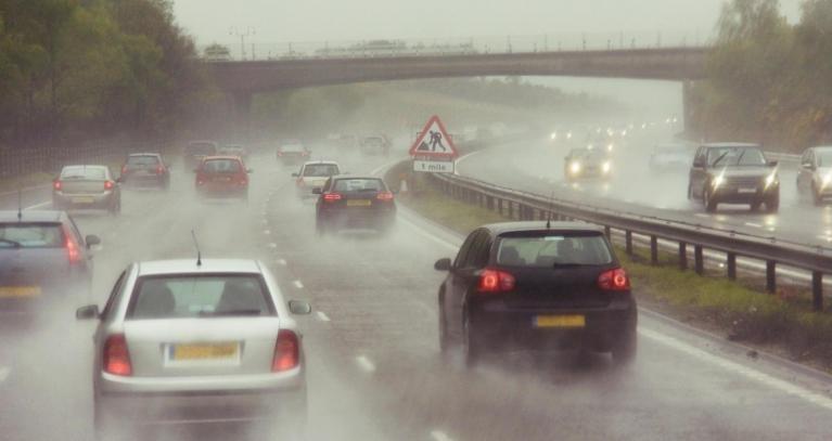
If you’ve stepped outside today, you’ll likely have noticed a change in the air. Following the heavy, persistent rain that dominated the start of the week, the weather has shifted into a regime of sunshine and showers. Winds are quite brisk, making it feel noticeably colder than yesterday, so you will want to keep a warm layer and a waterproof jacket close to hand.
The forecast for the week ahead remains changeable and generally unsettled. With low pressure remaining nearby, we can expect rain or showers most days, though conditions will rarely be cold enough for snow outside of mountain tops.
For the remainder of Tuesday, many areas will see sunny spells, but these will be interspersed with scattered showers developing in the south and west. If you catch one, it could be heavy - there is a risk of hail and thunder in places. As we head into the evening, showers will continue to spread north. In northern areas especially, clear skies between showers could lead to a risk of icy stretches and patchy frost overnight.
Wednesday continues the theme of sunshine and showers across the UK, although away from the south and west there should be some reasonable sunny spells with showers far fewer and further between.
By Thursday, unsettled conditions will persist with a band of rain crossing southwest to northeast through the day, with brighter skies but also some showers (especially in the west) following behind. Temperatures are forecast to stay around the seasonal average. Another feature to watch for is the development of fog by Friday morning, which could affect the morning commute.
Into Friday, patchy rain and showers will continue for some, especially near to coasts. The next band of rain will arrive from the southwest during the day though.
Saturday looks to be a particularly active day with a good rash of showers, some merging into longer spells of rain, all thanks to low pressure overhead.
By Sunday, a brief respite is likely with less in the way of showers, but the unsettled theme continues with yet another band of rain likely to arrive from the southwest.
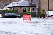
It is important to view this week's forecast in the context of Monday's weather. Heavy and persistent rain on December 1st and into Tuesday saw parts of the south-west and Wales receive very high rainfall totals—in some places, nearly a month’s worth of rain fell in a short period.

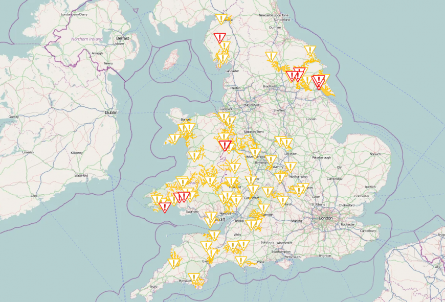
As a result, the Environment Agency and Natural Resources Wales issued warnings for river and surface water flooding earlier in the week. With the ground already wet, even modest additional rainfall could lead to local travel disruption, particularly on wet roads in western areas.
Flood warnings as of Tuesday Lunchtime
Looking toward the start of next week, the long-range outlook suggests the unsettled pattern will hold, but there are hints of something drier potentially turning up once we get past mid-month.
Loading recent activity...