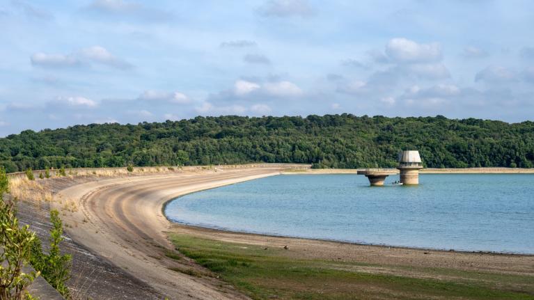
Over the British Isles, it looks probable that high pressure will stick around for quite a while. It looks set to stay dry and sunny for most through the weekend, but there is a likelihood of showers and possible thunderstorms breaking out in parts of the country on Monday, especially the Midlands and northern England, associated with a shallow trough.
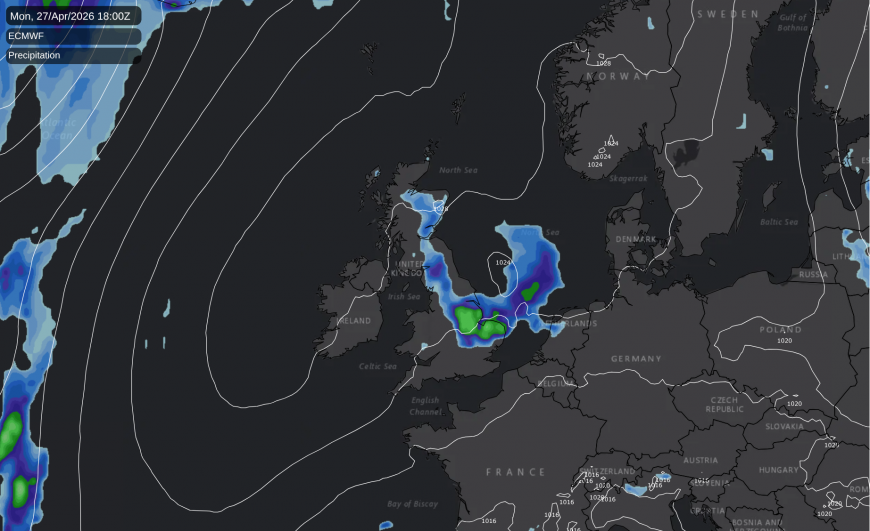
This will be a temporary interruption, as the high pressure will build back in again afterwards during the rest of the coming week, although it will not generally be as warm as during the weekend, especially in eastern and southern Britain, where there will often be a chilly easterly wind.
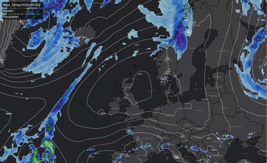
For the longer term, the medium range forecast models are showing some cold northerly winds at around 10 days out, but I get a "we've been here before" feeling about this. There have been numerous occasions during the winter and spring when the forecast models have kept throwing up cold northerly and/or easterly winds at the 7-10 day time range, and they haven't generally come to much, usually getting watered down or replaced with a different weather regime as we get close to the time.
Overall, April is shaping up to be another warm month, but not as warm as looked possible earlier. The Central England Temperature series, which is meant to roughly represent the English Midlands, is running at 10.0°C for 1-23 April. This is only 1°C above the 1991-2020 long-term average, but close to 2°C above the 20th century average, and 2.1°C above the 1961-1990 average, which highlights April's status as one of the fastest warming months in recent times, despite some colder Aprils in 2012, 2013, 2016 and (especially) 2021.
Spring 2026 is shaping up to be another warm one, but it will require us to get a very warm May for it to join those of 2024 and 2025 in ranking among the top three warmest. Despite their very differing characters, the springs of 2024 and 2025 were the two warmest on record.
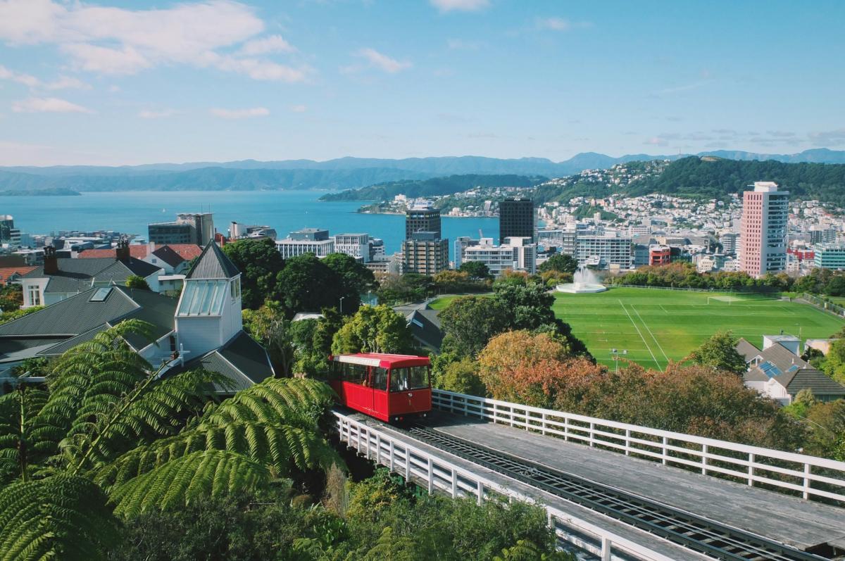
I have been following the New Zealand weather closely since a highly positive experience visiting that part of the world back in February. The Wellington region had widespread flooding midweek last week, caused by a band of persistent rain that stalled over the far south of the North Island for over two days, and a localised embedded area of thunderstorms that came over overnight and is reported to have produced up to 77mm of rain in just one hour, a new record for the region by some margin.
The flooding has been concentrated in the inland suburbs of Wellington, which lie in valleys in between hills and mountains and where surface water does not readily drain out into the sea, leading to accumulations of surface water. People in the affected areas have been flocking to a boarding house known as the Wellington City Mission.
New Zealand is generally known for having a quite similar changeable maritime climate to Britain with not many major weather hazards or extremes, but with considerably higher sunshine totals in most places - much of the North Island and the north and east of the South Island sees over 2000 hours of sunshine annually. This is largely because its latitude is lower (between 35 and 45°S) and when anticyclones drift from west to east across the Southern Hemsiphere, they often pass over New Zealand bringing mainly dry sunny weather, instead of delivering cloudy westerlies on the poleward flank. The climate also tends towards subtropical in the northern North Island. Wellington is notoriously prone to being windy at times because the winds get funnelled through the Cook Strait, in between the North and South Islands, and it is also exposed to cold southerlies. Like in Britain, high pressure is set to be a dominant feature in New Zealand during the coming week, bringing predominantly dry sunny weather, which will help with the clean-up after the flooding.
But in recent times there has been an unusual clustering of extreme events, especially affecting the North Island. A series of tropical storms hit the North Island during January, peaking on 21/22 January, which triggered a state of emergency in the Whangarei District. There was another system around 13-14 February which brought flooding to parts of the North Island and the east of the South Island, also with some very strong winds. (I was in New Zealand at that time, but I was just outside of the regions that got heavily hit). Then on 12 April, storm Gabrielle caused considerable problems in the North Island.
It is not clear how much long-term climate change/warming is contributing to these storms, but they do appear to be becoming more frequent especially in the north of New Zealand. New Zealand's variable topography - many regions are very mountainous - and the fast-moving nature of the Southern Hemisphere circulation patterns often makes the path of these storms very difficult to predict in advance. The Southern Hemisphere has few land masses between 35 and 60 degrees from the equator, meaning that there isn't as much of a barrier to the prevailing westerly winds as there is in the Northern Hemisphere.
Loading recent activity...