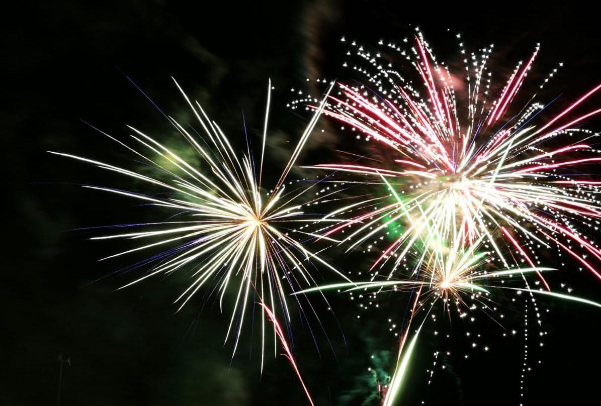
This New Year’s Eve does look windy. As we await the end of 2024 and the start of 2025 the weather has already interfered with Edinburgh’s plans for Hogmanay and firework displays have been cancelled elsewhere. The UK is littered with yellow weather warnings, for rain, snow and strong winds which might convince more people that it is a good decision to stay home and just raise a glass at midnight. For those who have a local indoor celebration, it will just be the travel there to consider. Protecting your styled hair and outfit whilst considering footwear choices. The walk home is usually buoyed by good cheer and many wishes of 'Happy New Year' along the way but these could be lost in the wind this time, or even snow in the far north.
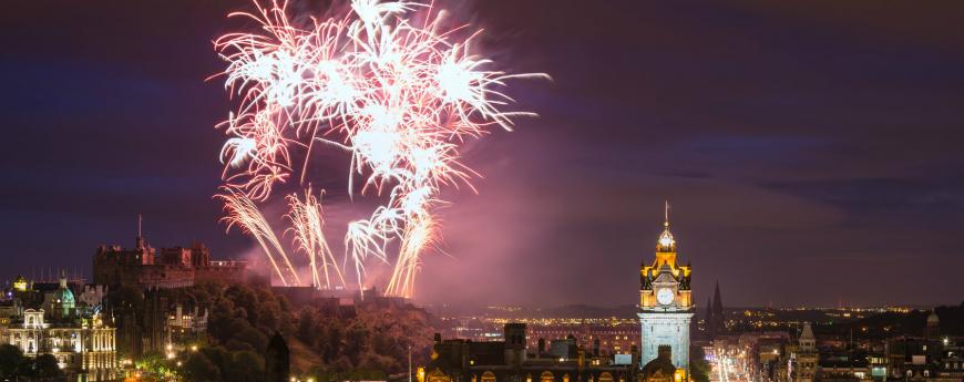
Much of the UK is still in the mild air with temperatures of 8 to 11C even by midnight. However, if you add on the wind (and rain) it could feel more like 4 to 8C. Balancing party outfits with mid-winter weather in the middle of the night was always going to be tricky. The advice from the Edinburgh Winter Festival website was to “Dress accordingly”. For busy festive times and large events, it’s not just about the strength of the wind or the amount of rain, it is the possible impacts. This links to the event planning, robustness and safety, from organisers and decision-makers.
We will have a look at the midnight weather for London, Cardiff, Cambridge, Birmingham, Manchester, Belfast, Edinburgh and Lerwick. There is a detailed hourly forecast available for more locations here.
There is cold air in the far north, which will be across all of the UK by the end of New Year’s Day. An active frontal band dividing Britain will bring rain this evening and has already soaked Scotland and Northern Ireland on Tuesday morning.
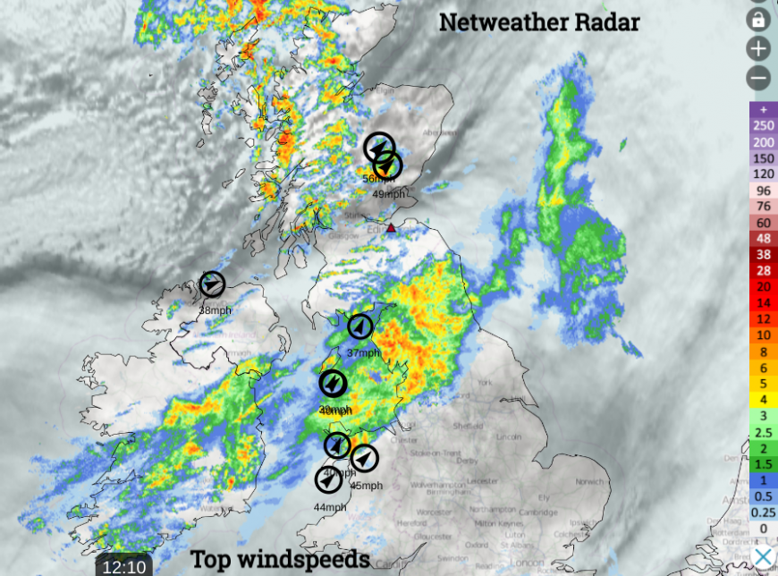
In the far north is an occluded front which will continue to bring showery outbreaks of rain, sleet, hail and snow. The main area for snow will be the NW Highlands and the Northern Isles and there is a warning here.
Lerwick, Shetland Air temperature +2C feels like -5C. Risk of snow showers with clear skies so a chance to see the Aurora tonight. It will be bitterly cold in the strong winds with gusts around 45mph. Warning of snow
Edinburgh, Midlothian Air temperature +8C feels like +4C. It will feel cold in the fresh wind with gusts around 40mph. The rain should have stopped, with a few clear spells. Warning of high winds. Turning much colder by morning.
A lot of the weather warnings switch at midnight, so it’s worth looking at both days on the Met Office website.
London Air temperature +11C feels like +8C. It will feel cool in the fresh wind with strong gusts around 40mph. It looks dry and cloudy. Warning of high winds for the 1st. Turning colder by the end of New Year’s Day.
Cambridge Air temperature +11C feels like +8C. It will feel cool in the fresh to strong wind with high gusts around 48mph. It looks dry and cloudy. Warning of high winds for the 1st.
Birmingham, West Midlands Air temperature +10C feels like +6C. It will feel cool in the fresh to strong winds with high gusts around 50mph. It looks mostly dry and cloudy. Warning of high winds for the 1st.
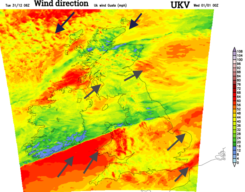
Cardiff Air temperature +11C feels like +6C. It will feel cool in the fresh winds with gusts around 40mph. It looks mostly dry and cloudy by midnight, perhaps with rain from the north in the evening. Warning of high winds for the 1st.
Belfast, Co.Down Air temperature +8C feels like +4C. It will feel cool in the fresh winds with gusts around 40mph. It looks dry and cloudy although clear spells will be appearing for northern counties. The wind warning lapses on Tuesday afternoon but it will still be a blustery evening.
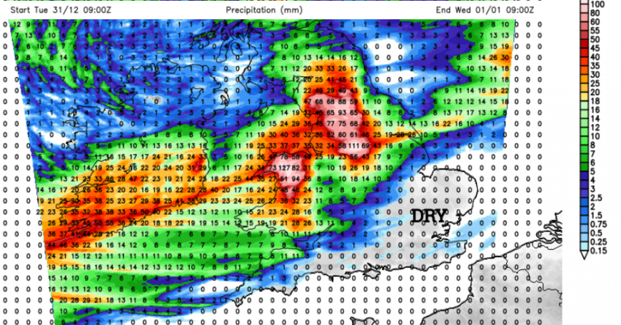
Manchester Air temperature +9C feels like +7C. It will be the rain causing issues rather than the wind. There will be gusts around 25mph in the evening but these look to ease by midnight. The rain warning continues through the night and there will be plenty of surface water and spray on the roads.
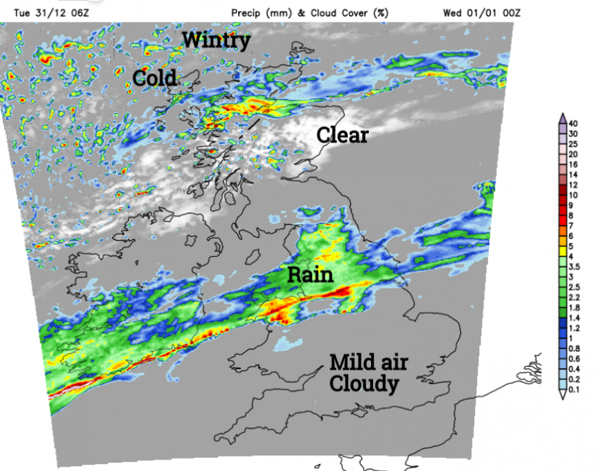
The main rainband is forecast to be across Wales and NW England, the Pennines and Peak District at midnight. The model output varies around this central swathe of wet weather across Britain. Perhaps reaching up to the Solway Firth or across to the Humber. North Wales, NW England including Cheshire, Manchester and Merseyside, just into the west and east Midlands, and Yorkshire are all under a Met Office Rain warning and look set for a wet spell. The active frontal band will begin to waver about allowing the rain to become heavy and persistent over certain areas.
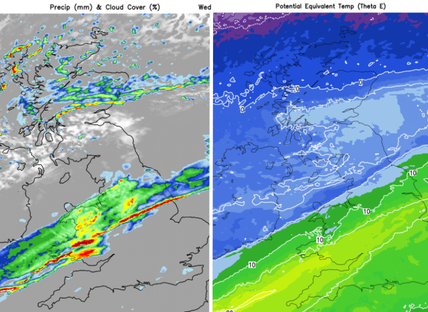
New Year's Day 06Z -UKV Model showing rainband with colder air to the north
It will edge southwards on Wednesday reinvigorating as the cold Arctic air digs in from the north. Expect a spell of torrential rain and sudden squally winds as this line passes and there is a wider wind warning across the southern half of Britain as wintry weather takes hold over Scotland on New Year’s Day. The rest of this week looks much colder.
Whatever you are doing; going out, staying in, off to bed early, Happy New Year from us all at Netweather.
Loading recent activity...