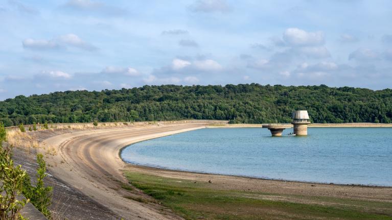
Large parts of England and Wales have seen a fairly wet October so far, with many places already exceeding their expected average monthly rainfall by mid-month. Shawbury in Shropshire has seen 143% of its average October rainfall so far this month, while further south Shobdon and Hereford in Hereforshire have seen 135% of their October average rainfall. Parts of the southern Midlands and central southern England also seeing over 100%. There are still non-tidal flood warnings along the River Severn in Gloucestershire and Worcestershire and several flood alerts for the Upper Thames and its tributaries.
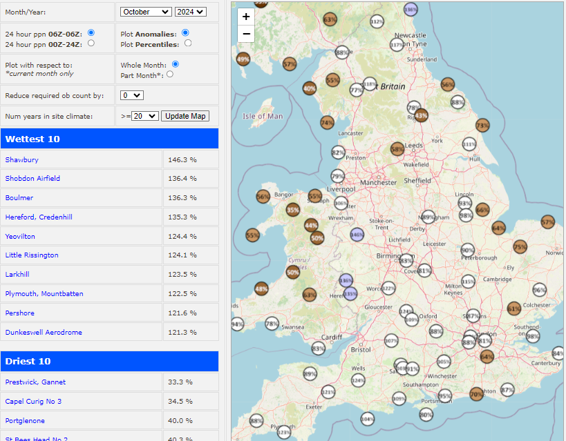
Data courtesy of Starling Roost Weather
However, following the wettest September for southern England since 1918 and wet October for parts of England and Wales so far, are there are any signs of drier weather on the horizon?
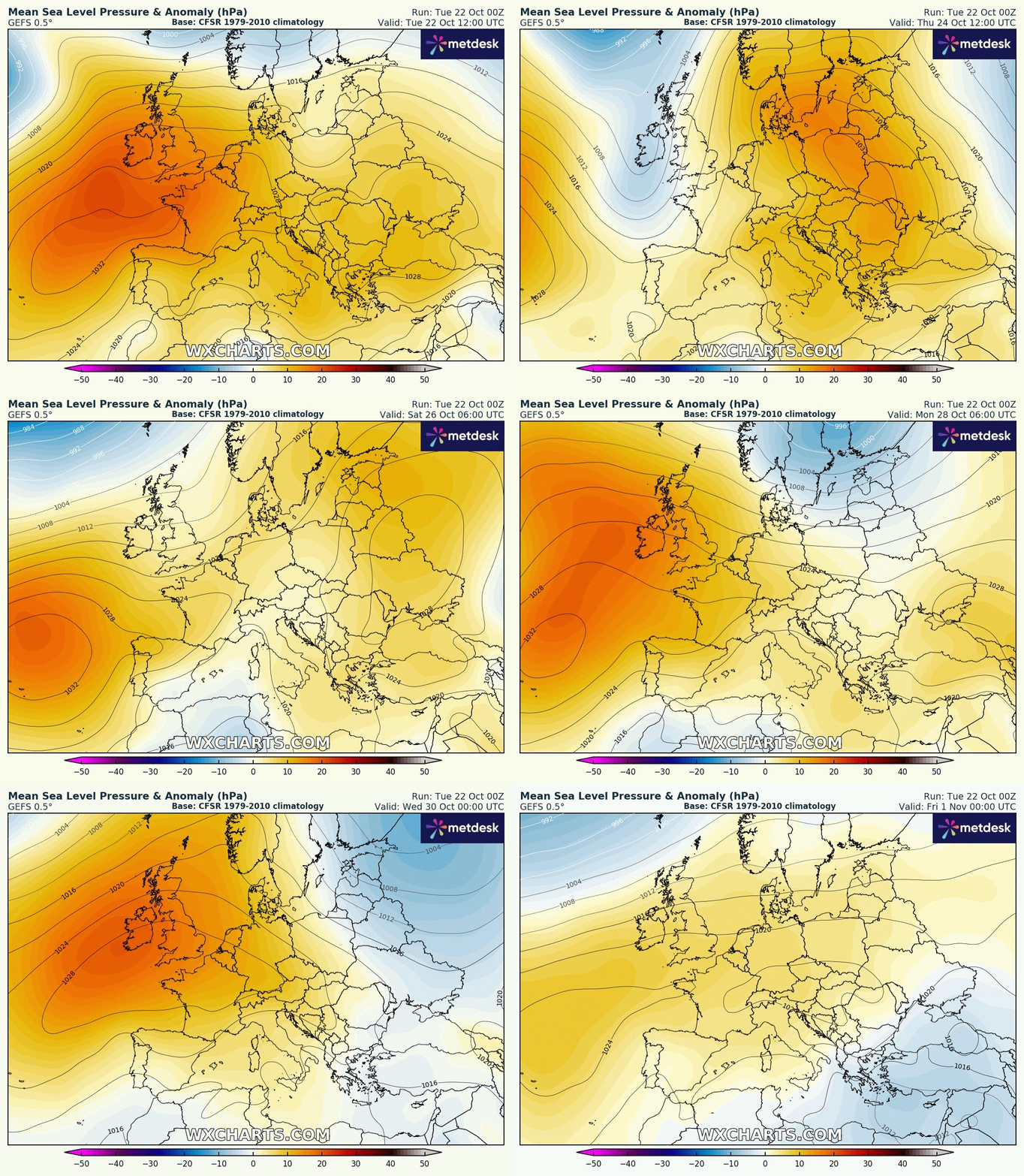
High pressure will make attempts at moving in across the UK at times for the last third of the month, bringing some dry days, but there will be a blip later this week with low pressure moving in temporarily, which means a few days that will feature some rain or showers for many. But high pressure building in more strongly next week may offer a more sustained respite from the wet weather over the last several weeks, more particularly across the south.
More high pressure influence for the rest of the month, shown on the GEFS mslp anomaly below, though there will be a temporary blip of lower pressure later this week
An area of high pressure sliding northeast from the Azores across western Europe looks to bring drier and more settled conditions for most on Tuesday, Wednesday and Thursday too across the east. It will be warmer than average for the time of year too, thanks to southerly winds, with temperatures reaching 17C in the south. But, the high will retreat east on Thursday, allowing a trough of low pressure to move in from the west, with weather fronts arriving across the west bringing rain here in the afternoon and all parts during the evening and overnight. Outbreaks of rain or showers may linger across parts of England and Wales on Friday and into Saturday morning, as an area of low pressure becomes slow-moving. More cloud and rain may arrive off the Atlantic later on Sunday too, but in between there should be some drier weather with some sunny spells.
Drier than average for many for the rest of this month
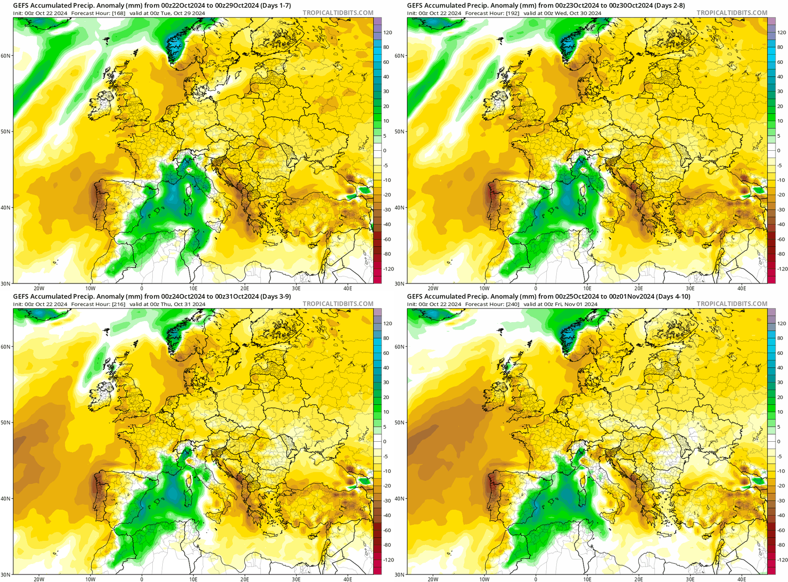
There are signs that high pressure may make a more concerted effort next week to build in and hang around a bit longer than this week, bringing dry and settled weather. In fact, going on current model output and ensemble means, it could stay dry across the south through most of next week. This will be ideal for Halloween celebrations on Thursday, though being 10 days away, it may well change to a more unsettled look by then.
Risk of fog tonight
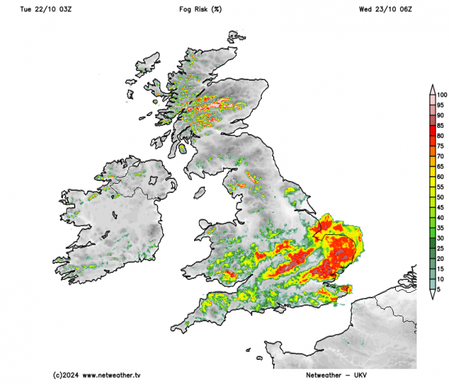
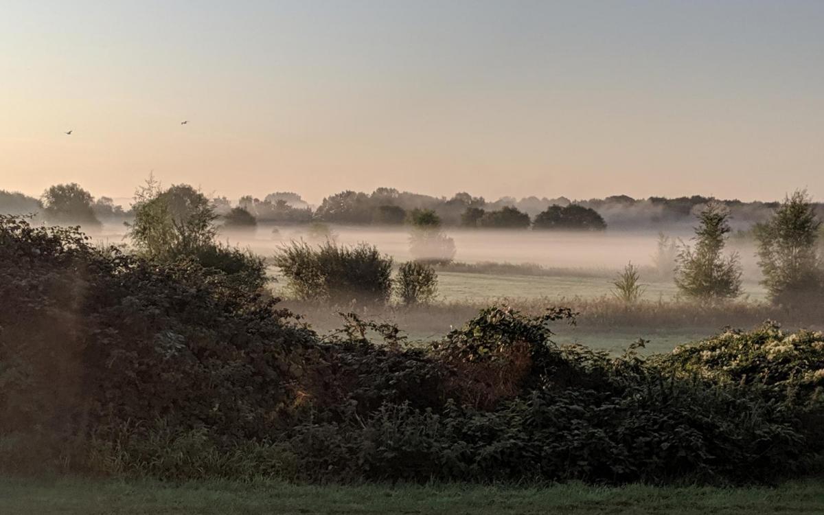
But as is often the case under high pressure this time of year, with little or no winds, falling temperatures and a lot of moisture in the atmosphere, there will be a risk of fog developing. Tonight sees a risk of fog develop across the Midlands, East Anglia and parts of southern England in particular. So in these areas it may be worth giving yourselves some extra time and leaving earlier if you have a longer journey. Risk of fog much less for the rest of the week, with more of a breeze returning preventing its formation. But it may well return next week, with high pressure building in, bringing calm conditions at night.
Loading recent activity...