Mild in the south but with a bit more UK rain midweek. Turning colder for the weekend with brisk winds and showers.
The spring (vernal) Equinox is today, March 20th, 2024. Meteorologically, we begin spring on March 1st, counting the three months of March, April, and May for statistical purposes. Astronomically, in the UK and the northern hemisphere, we have the Spring Equinox. This is when the length of day and night are about equal. Yesterday, Leconfield in the East Riding of Yorkshire saw 7.5 hours of sunshine, and in Lincolnshire, Coningsby saw the highest UK temperature of 16.8C.
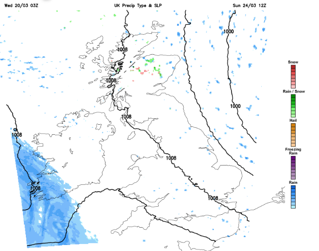
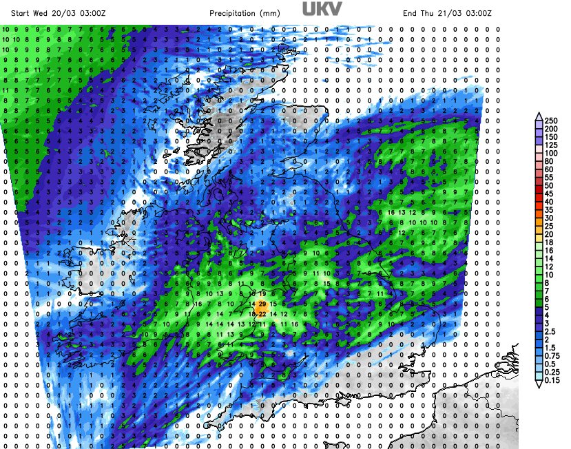 A waving frontal band will bring patchy rain across a large part of the UK on Wednesday. Wales catches the brunt of the rain midweek, but the far northwest of the UK and southeast Britain look to miss most of the wet weather today. It will be mild again in the south but with cooler air to the north. Everywhere becomes dry tonight.
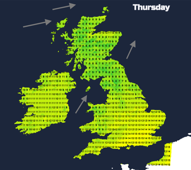
Southerly winds strengthen tonight for NW Scotland, with gales likely. It will be a wild start for the Scottish Islands on Thursday with outbreaks of rain. Heavier rain will affect SW Scotland with a damp spell for Northern Ireland as the frontal bands move by. These fronts will throw a few outbreaks of rain across Northern England where it will also be blustery. Southern BRitan will see a fair, mild and quieter day. It will feel warm in any sunny spells, with temperatures moving through the mid-teens.
A cold front will sweep down through the UK on Thursday night with clear, colder conditions behind. In this windy, showery flow there will be rain, sleet, hail and mountain snow.
The frontal rain takes its time on Friday to clear Kent but there will be sunshine behind, mixed with showers for Northern Ireland and Scotland with westerly gales in the far north.
Saturday will see sunny spells and a rash of showers for Scotland, Northern Ireland and Wales. Northwest and southwest England will also see showers, pushing their way inland but eastern Britain should see a more sheltered morning with bright skies. The showers will spread over the Midlands and southern counties. You will be lucky if you miss the showers completely but some areas will have a mostly fine day. It will feel colder though, with the air coming down from the Arctic.
The scattering of clear spells and showers continues into Saturday night.
Through Saturday night the focus of the showers moves to northeastern Scotland with a low centre edging to the North Sea and a cold N/NW flow. Out of the wind, there will be a frost with snow for the Grampians.
Sunday
Northern Ireland will have lighter winds by Sunday morning but the brisk wind will make much of Britain feel cold. The winds will ease down as the low pressure fades over the North Sea and much of Sunday looks fair and bright with just a few light showers.
To end the weekend a new frontal band will appear from the southwest. We’ll have to see how it progresses northwards, up against that cold air on Sunday night.