Widespread frost for Saturday morning although with lighter winds and late autumn sunshine. An Atlantic low will bring more cloud then rain for Sunday to western parts.
The Arctic air is digging its way southwards on Friday. It already feels colder, especially in the north wind with a few snow showers over the Scottish mountains and wintry bits for the North York Moors. The showers will fade in the far north as high pressure builds in from the Atlantic. This will bring a dry and bright, even sunny Saturday with a frosty start. The winds will be very light in the cold air. A few more rain showers will clip North Sea coasts with perhaps an icy tinge. Eastern Britain will notice the north to NW breeze which will make it feel chilly and draw a few showers down into Norfolk.

Norwich could reach 7C on Saturday but will feel more like 3C in the wind. Aberdeen could see 4 or 5C but will feel more like 1 or 2C. Birmingham could reach 5C but will only feel like 2C in the sunshine on Saturday. Belfast will stick around 5C on Saturday but milder at 8C by Sunday.
There are flood warnings along the coast of East Anglia and the Thames Barrier will close on Friday night. Env. Agency "Strong winds and spring tides may cause large waves, and spray overtopping on the coast." The push down the North Sea basin in the northerly flow combined with the tidal conditions means there will be extra high water around.
A change in the weather takes place slowly through the weekend as an Atlantic low pressure edges closer. The grip of the cold Arctic air mass wavers. It won’t be as cold later on Sunday morning, for Ireland, Wales and SW England as the low brings rain to Northern Ireland and then moves across southern Britain. However, after that, we could get another dig of the cold air on Sunday night. This might push a feed of showers off the North Sea into eastern Scotland, Northeast England, the A1 and North Yorkshire with sleet and wet snow in the mix for the start of the new working week. This may even reach far inland to the Pennines and Peak district. The new cold feed and showers link to a different low pressure. This is showing on the charts for Sunday night but there will be uncertainty around its position that far ahead.

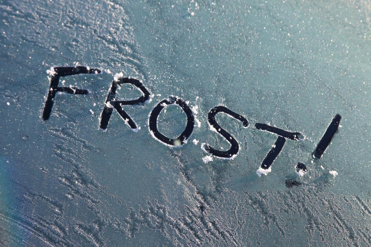
The main thing this weekend will be the cold air but also that the brisk wind is easing down. This has made Friday feel much colder. Friday night will see a widespread locally severe frost with temperatures down to minus six in a few spots. Do expect a frosty start on at least one morning. East coast Britain could be too breezy early on Saturday with wind chill to consider. By Sunday morning, there will be high cloud ahead of the Atlantic low over parts of Britain. Outbreaks of frontal rain and thicker cloud with a southerly breeze will keep the temperatures up for southern Ireland, Cornwall and west coast Wales. This frontal cloud means that Sunday won’t be as sunny. Inland Scotland and eastern England could still see hazy sunshine. More widely, and depending on the progress of the incoming low, there will still be a lot of fine, bright and dry weather but feeling cold.

It looks like the frontal patchy rain will reach across the Irish Sea, more of Northern Ireland, into Wales and the West Country by midday on Sunday. It will take its time during Sunday night to move over southern Britain. Rain from the northern low could reach Shetland by lunchtime on Sunday.

The two merge during Sunday night with the Atlantic low trundling down to the southeast. Rain around the low will leave a messy picture of cloud and dampness to end the weekend but with a new pull of cold air into NE Britain, and possibly some wintry showers.