After a new September record today of 5 days in a row with temperatures exceeding 30C, the heat persists into the weekend, but slowly pushed towards the southeast, while risk of thunderstorms increases by Sunday. Turning cooler and fresher on Tuesday
The current heatwave gripping the nation has set a new UK record for the number of consecutive September days reaching 30C (86F). The temperature has reached at least 30C five days in a row. The previous September record for days in a row exceeding at least 30C was three days - in 1898, 1906, 1911 and 2016.
Thursday this week was hottest day of the year so far, with a provisional 32.6C recording in Wisley in Surrey, this was higher than the 32.2C registered on two days in June in Chertsey, Surrey, and Coningsby, Lincolnshire.
Today has been another hot day, the 5th day in a row with southern England seeing several stations recording above 30C, despite some thin high cloud spilling north from France through the afternoon. Cavendish in Suffolk looks to be the hottest spot today, with 30.9C. The heat continues into the weekend, though the highest temperatures will be pushed towards the southeast by Sunday. Saturday could see the highest temperature of this heatwave, with 33C possible somewhere in SE England. UK's highest temperature on record of 35.6 °C recorded on the 2nd in 1906 looks to remain intact though. Sunday could reach 30-31C across East Anglia and far SE of England.
Saturday's temperatures at 3pm

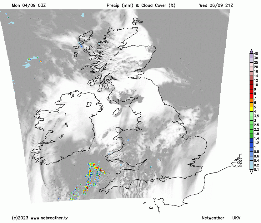
It's been mostly dry this week, however, over the weekend – there will be an increasing threat of heavy showers or thunderstorms breaking out, as the combination of heat, rising humidity and falling pressure from the west destabilises the atmosphere. Not everywhere will experience these thundery downpours, many places may stay dry, sunny and very warm or hot over the weekend – more particularly across SE England. Greatest risk of catching a heavy thundery downpour this weekend likely to be across central, western and northern areas of Britain.
A strong upper-level ridge and heat dome extending northeast over mainland Europe and also much southern and eastern Britain will begin to slowly retreat over the weekend, as an upper-level trough close to the west of western Europe begins to edge slowly eastwards. As this occurs, a cold front will make slow progress southeast in across NW Scotland and far north and west of Rep. of Ireland during the afternoon. This front will bring cloud and outbreaks of rain to NW Scotland during the afternoon, perhaps spreading further southeast across northern and western Scotland later in the day. Otherwise most places, dry, sunny and very warm or hot across on Saturday, temperatures reaching high 20s to low 30s across central, southern and eastern England, low to mid 20s further north and west, high teens in NW Scotland.


However, the heat and high humidity (wet bulb potential temperatures of 18C+ over southern and eastern England) will build large amounts of Convective Available Potential Energy (CAPE). The strong instability being released to support thunderstorms is conditional on likely strong capping or lid on the lower atmosphere from subsiding air aloft being eroded. This erosion of capping will rely on forcing mechanism to break the cap. This likely to be aided by sea breeze convergence inland, as heat rising causes lower pressure inland compared to over sea, causing breezes to move inland. Where breezes converge hot and moist air may be forced to rise to trigger some isolated thunderstorms Saturday afternoon - central and northern areas of England are indicated by models to be most likely to see these slow-moving thunderstorms. But they will be hit-and-miss. Most places in this area, covered by the Met Office Thunderstorm warning issued earlier today, likely to stay dry and sunny. But where these storms do pass, there is a risk of localised flash-flooding and frequent lightning. Most. areas will stay dry and sunny on Saturday though.
Large amounts of CAPE modelled on Saturday, but lack of forcing away from breeze convergence will mean any storms will be localised to central areas


During Saturday night and Sunday, more organised large scale forcing looks to move north from western France in the form of a couple of shortwave troughs / upper level vorticity maxima moving north while pressure / heights continue to fall from the west. So we may see more organised areas of heavy showers and thunderstorms push northeast early Sunday morning across parts of England and Wales, then another area moving northeast from SW England across Wales, Midlands and northern England through the afternoon, However, there is a lot uncertainty with east or west extent of these showers and storms with difference between models on handling these areas of convection. SE England and East Anglia areas that are most likely to stay dry and sunny on Sunday, but a storm can’t be ruled out earlier in the day here. Heavy showers and storms may also develop across Scotland and Ireland ahead of a cold front and its cloud and patchy rain moving slowly down from the northwest. Thunderstorm Watches will likely be issued for both Saturday and Sunday when the risks of storms becomes clearer over certain parts of the UK.
An area of low pressure moving east across the north will finally get the cold front moving southeast across the UK early next week, eventually introducing cooler and fresher conditions from the Atlantic across all parts from Tuesday. Before then, thundery showers or longer spells of rain look to slowly spread southeast across most areas on Monday, temperatures lower than previous days with more cloud and the rain around, but still warm.
Cooler conditions flooding in from the northwest early next week