It will remain very warm and sunny, hot across eastern areas, into the weekend. Saturday could see the hottest day of the heatwave, with 33C on the cards in SE England. Growing risk of thunderstorms by Sunday, turning cooler and fresher by Tuesday.
Wednesday’s highest temperature reached 32.0C at Kew Gardens in London, this is the highest temperature recorded in September since 2016, when 34.4C was recorded at Gravesend on Tuesday 13th that year. Last night was rather warm too, technically a 'tropical night' in south Wales last night, with UK's highest minima of 21C at the Mumbles & 20.4C at St Athans. Valentia Observatory in the far SW of Ireland saw a minimum of 20.1C too. A number of spots in southern England fell no lower than 19C too. Wales looks like it may have a new record high minimum for September, beating the previous record of 20.5C. Temperatures this afternoon have again exceeded 30C across southern England, 31C in a number of spots.
Heat and humidity towards eastern Britain lingering into the weekend, but cooler and fresher conditions will spread in from the northwest on Tuesday:
.gif)
The heatwave continues today, tomorrow and into the weekend while humidity will increase too. Temperatures reaching 30-31C can be expected across SE England and East Anglia, mid-to-high twenties inland elsewhere. Saturday could be the hottest day of this unusually long heatwave for September, with temperatures perhaps reaching 33C in eastern England. However, the heat and high humidity may trigger some isolated thunderstorms across central areas. And although it will become very warm or hot over large parts of England & Wales on Sunday, it looks like heavy thundery downpours will move or develop more extensively north across parts of the UK and Ireland. Very warm with heavy showers or thunderstorms across England and Wales on Monday, but cooler conditions moving in across Scotland and Ireland will spread east too all parts on Tuesday, marking an end to the heatwave – with a return to more average temperatures.
For now, clear blues skies across Midlands, central southern and eastern England (south of North Yorkshire) has allowed temperatures to reach 28-30C inland, with a few spots across the SE of England reaching 31C as of 2pm. Further north and west, more in the way of mid-level cloud has been streaming north across SW England, Wales, northern England, N. Ireland and SE Scotland. Thick enough to produce some rain across northern England into SE Scotland. On the western edge of this cloud some thunderstorms have broken out early afternoon across the northeast of the Republic of Ireland and these will drift north into N. Ireland for the rest of the afternoon and early evening. A risk of frequent lightning, hail and flash-flooding with these storms.

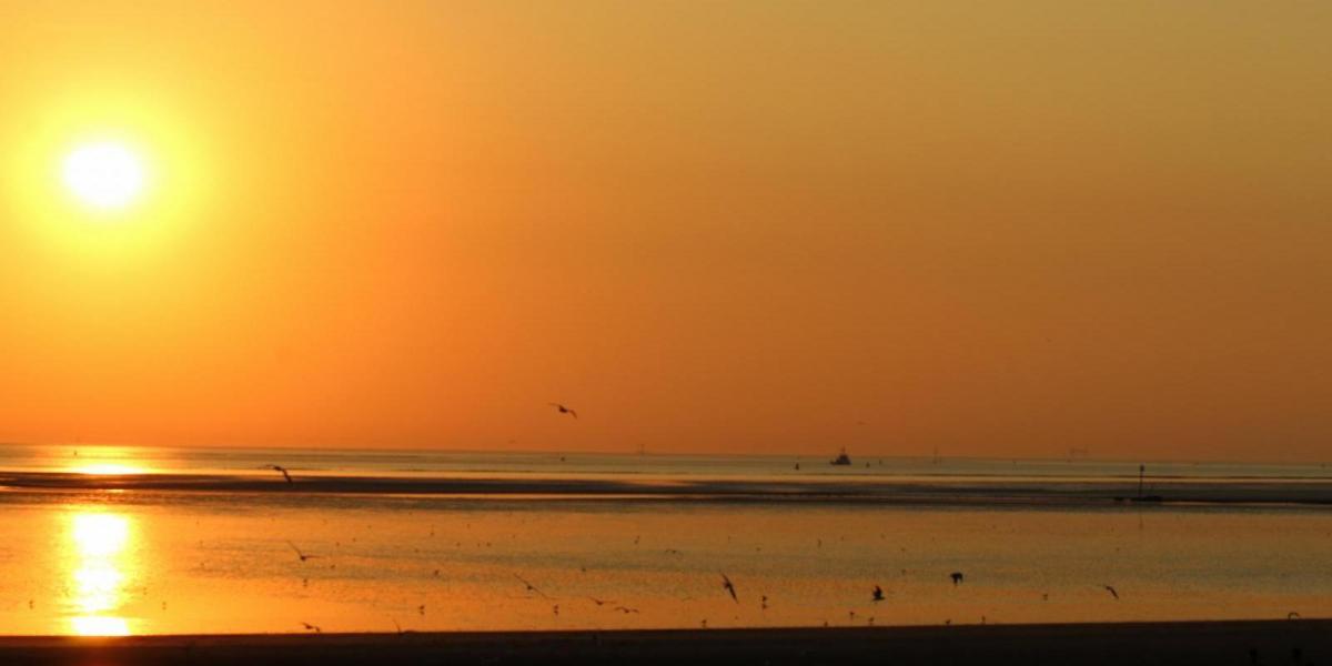
Sahara dust that arrived earlier in the week on southerly winds will linger in the atmosphere through to the weekend, so there could be some vivid sunsets this evening. Thundery showers towards the northwest will tend to clear away to leave a dry and another warm night with clear spells, mist and fog forming again across eastern England and the southwest.

Friday we do it all again, any mist or fog patches soon clearing to another largely sunny and very warm or hot day. The exception will be across SW England – where models are showing some thundery showers moving in during the afternoon and evening – these perhaps reaching south Wales too. Temperatures reaching 27-29C widely inland from the central belt south across England and Wales, 30-31C in SE England, cooler along coasts.
Another scorcher of a day on Saturday, with clear skies and prolonged sunshine across England and Wales allowing temperatures to reaching 27-29C inland, across SE England and East Anglia 30-33C. Some isolated thunderstorms could develop across North Wales, Midlands, northern England, N. Ireland and southern Scotland in the afternoon drifting north into the evening, some of these could be severe in nature. Generally cloudier skies cooler and more of a breeze with patchy rain moving in across western Scotland. This heralding the slow breakdown of the heatwave over following days. Eastern Scotland should stay sunny and becoming very warm or hot, 26C in Aberdeen for example.

Sunday still very warm, locally hot where the sun appear towards eastern England, but the day may start cloudier then previous days, with some thundery showers possible drifting north across England and Wales through the morning. Further heavy showers or thunderstorms could develop widely across England and Wales as heat builds into the afternoon. Scotland and N. Ireland perhaps on the cloudier side and cooler than of late, with a risk of showers in places.
Monday could be another sunny, very warm or hot day towards SE England and East Anglia, though some thundery showers may clip the far southeast. Turning cooler and fresher further north and west, as a cold front moves in from the west, bringing more in the way of cloud and some outbreaks of rain, perhaps heavy and thundery locally. Cooler and fresher conditions spreading to all parts on Tuesday, following the cold front clearing east Monday night – but it looks become fairly settled with sunny spells, just a few showers in the east.