The jubilee weekend continues, with a north-south split developing. Those further north will often enjoy the best of the sunshine, whereas further south there's an ongoing risk of thunderstorms and downpours.
The jubilee weekend continues, with a north-south split developing. Those further north will often enjoy the best of the sunshine, whereas further south there's an ongoing risk of thunderstorms and showers.
Skies are currently clear across the vast majority of Scotland and parts of north-west England and Northern Ireland, but it is currently much cloudier in the east and south of England, with some thundery downpours in the south-west.
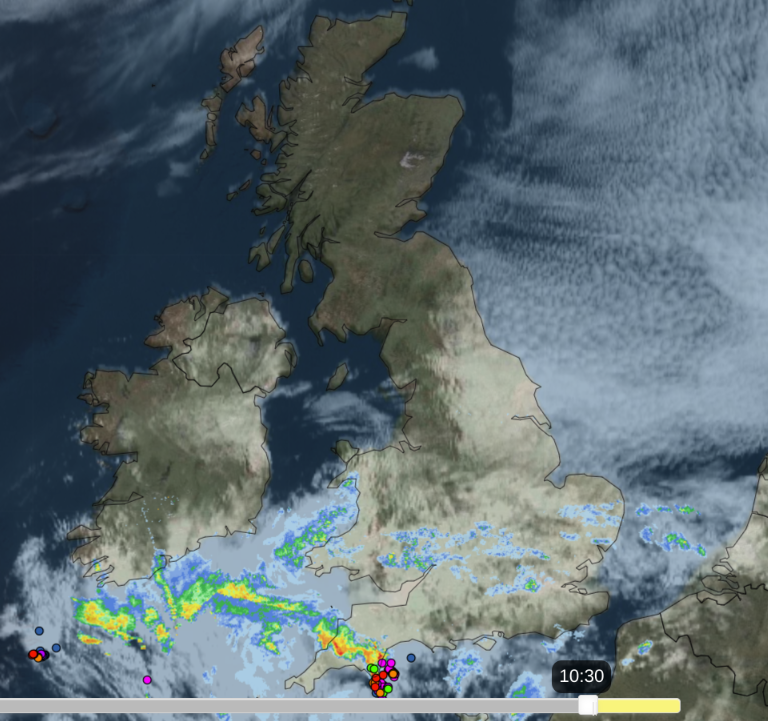 Radar, satellite and lightning detection from earlier this morning - check the latest here.
With a weak area of high pressure over the north of Britain and low pressure to the south, this general pattern is set to persist through the rest of today. Most of Scotland and Northern Ireland will be dry and sunny throughout the day, although some low cloud may move onto the east coast of Scotland later. It will also stay dry and sunny in most parts of north-west England, especially Cumbria and north Lancashire. For central, eastern and southern England it will generally be cloudy but with some sunshine coming through at times away from North Sea coasts.
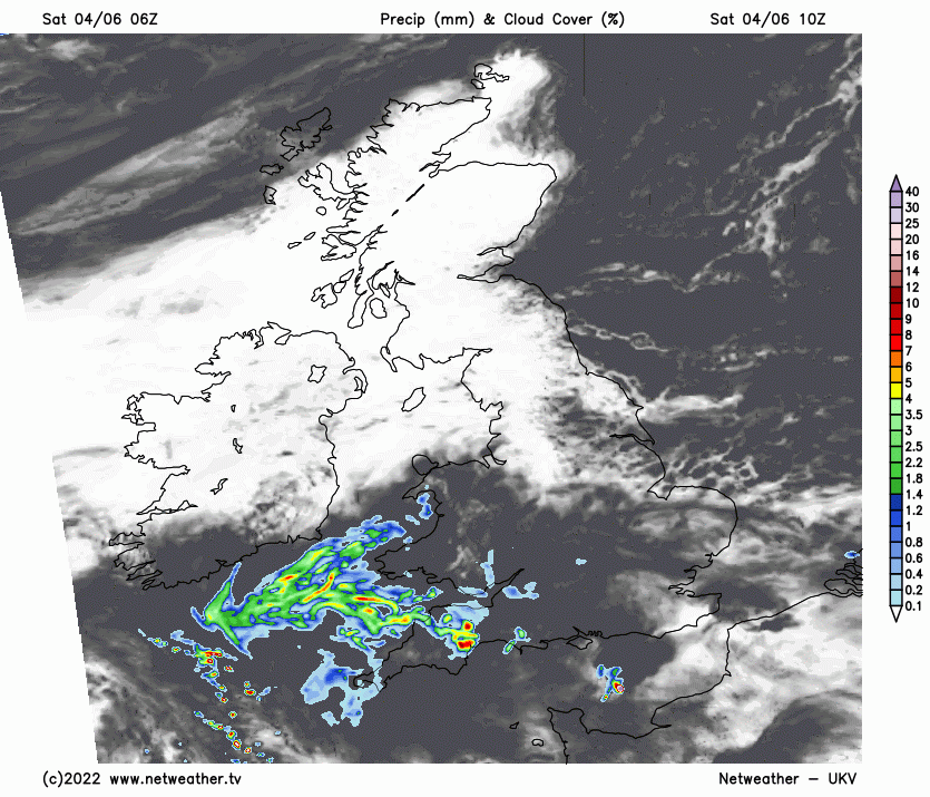
The thundery downpours over the south-west will move away leaving most southern areas dry around midday, but further showers and thunderstorms will break out in the south of England during the afternoon and evening. Thunderstorms are again likely, especially in the south-west.
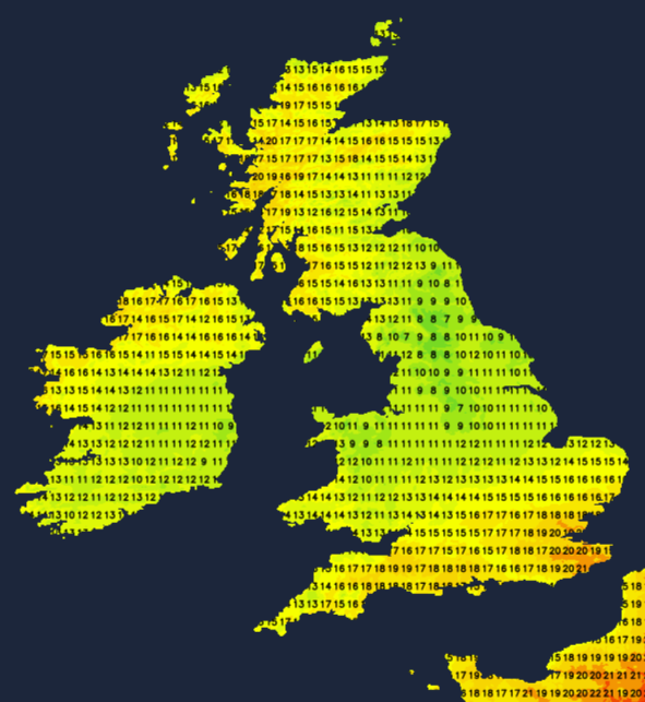
Temperatures will reach 20 to 22C in the northern and western halves of Scotland and in parts of southern England, but it will be cooler in the east, especially in north-east England where temperatures will not climb higher than 13 or 14C in some places.
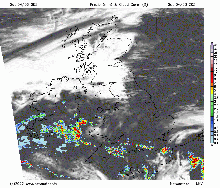
Tonight, clear skies will become more confined to northern and north-west Scotland along with the north of Northern Ireland, as the cloudier weather and low pressure will push northwards. The outbreaks of rain and thunder over the south will push as far north as the Midlands overnight, with potential for thunderstorms to become widespread over the south. Thundery activity will tend to fizzle as the rain heads north into the Midlands.
Overnight temperatures will vary widely, with lows of 2 to 4C over much of Scotland (away from the south and east) and in the north of Northern Ireland, which means that some frost hollows will see a frost. In contrast, southern England will generally not fall below 11 or 12C.
Overcast weather and rain will spread slowly northwards through the Midlands, Wales and northern England tomorrow, bringing a cold and damp day. Sunshine will persist over Scotland from the Scottish Lowlands northwards, though with some low cloud near the east coast. It will also brighten up in southern England and south Wales, where there will again be some thundery showers towards the south-west. Temperatures will be highest in northern and western Scotland and in south-east England, where again highs of 20 to 22C are likely. In the grey wet areas of central and northern Wales, the Midlands and northern England, highs of 11 to 13C are expected widely.
Monday looks set to continue with the same pattern as on Sunday, with cold wet weather persisting over the Midlands and northern England and north Wales, dry sunny weather for much of western Scotland, brighter weather with some thundery outbreaks in the south. The weather pattern will change on Tuesday as the high pressure over the north of Britain will disappear, allowing low pressure and frontal systems to come in from the west. Winds for the rest of the week will become predominantly south-westerly, resulting in a generally changeable pattern although it will be warm at times in the east. Eastern England, especially East Anglia and the south-east, can expect more in the way of dry sunny weather than other parts of the UK, but even here some rain will push through from time to time.